
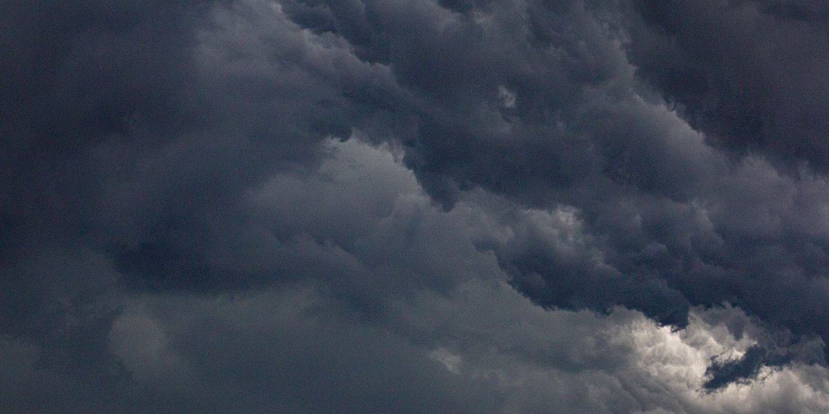
Precipitation is any form of water, liquid or solid, that falls from clouds and reaches the ground. Rain, drizzle, snow, sleet, graupel and hail all count. Fog and dew don’t, because they form at the surface instead of falling from above.
That definition is the easy part. The interesting part is that a cloud is mostly made of droplets far too small to fall, so something has to turn them into drops that can.
Table of contents
- How precipitation forms
- Types of precipitation compared
- Sleet vs freezing rain
- Convective, orographic and frontal precipitation
- Precipitation in the water cycle
- How precipitation is measured
- How climate change is shifting precipitation
- FAQ
How precipitation forms
It starts with rising air. As a parcel of moist air climbs, it expands and cools. Cool air holds less water vapor, so at some height the vapor condenses onto tiny particles of dust, sea salt or smoke called condensation nuclei. Each particle ends up wrapped in a droplet about 0.01 mm across.
Droplets that size fall at a fraction of a centimeter per second. Any updraft keeps them aloft. To fall out of the cloud, they have to grow, and there are two routes.
Collision and coalescence. In warm clouds, bigger droplets fall slightly faster than smaller ones, sweep up the ones in their path and merge with them. It takes roughly a million cloud droplets to make one raindrop, which is why a thick cloud rains and a thin one just sits there.
The ice route. In cold clouds, the Bergeron-Findeisen process does the work. Water vapor settles onto ice more readily than onto liquid water, so ice crystals grow while the surrounding supercooled droplets (liquid water below 0°C) shrink. Pure water can stay liquid in a cloud down to about -38°C. The crystals get heavy, fall, and either reach the ground as snow or melt on the way down into rain. In mid-latitudes, much of the rain you see started as ice several kilometers up. The same ice process runs in high-level clouds, which form above roughly 6,000 meters.
Types of precipitation compared
Which type you get depends on two things: the temperature profile from cloud to ground, and what happened to the particle along the way.
| Type | Form | Typical conditions | Size |
|---|---|---|---|
| Drizzle | Liquid | Shallow, low cloud, air above 0°C | Under 0.5 mm |
| Rain | Liquid | Air above 0°C near the surface | 0.5 mm and up; drops larger than about 5 mm tend to break apart |
| Freezing rain | Liquid that freezes on contact | Warm layer aloft, surface below 0°C | Same as rain |
| Sleet (ice pellets, US usage) | Frozen raindrops | Warm layer aloft, deep freezing layer below | Under 5 mm |
| Snow | Ice crystals or clusters of them | Below 0°C through most or all of the column | Crystals under 1 mm; flakes up to several centimeters |
| Graupel | Soft, crumbly pellets | Supercooled droplets freezing onto snow crystals | 2 to 5 mm |
| Hail | Layered ice | Thunderstorms with strong updrafts | 5 mm and up |
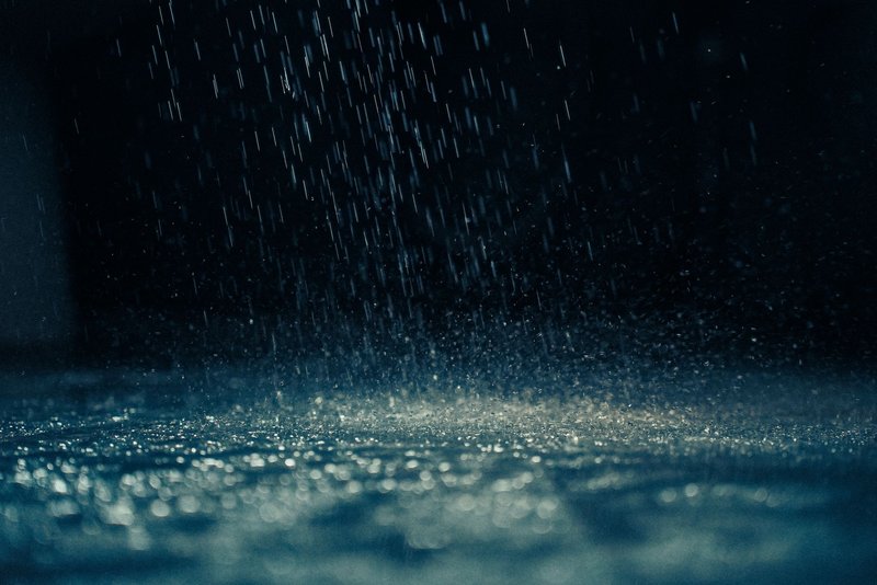
Rain and drizzle differ by drop size, but also by behavior. Drizzle falls slowly from stratus cloud, often for hours, and leaves little in the gauge. Rain comes from deeper cloud and can range from a light shower to a downpour. By the usual meteorological scale, light rain is under about 2.5 mm per hour and heavy rain is above roughly 7.5 mm per hour.
Hail deserves its own mention because it grows differently from everything else on the list. A hailstone is carried up and down inside a thunderstorm, collecting a new layer of supercooled water each trip, like an onion built in reverse. Cut one open and you can count the rings. The heaviest hailstone recorded in the United States fell in Vivian, South Dakota, in 2010: about 20 cm (8 inches) across.
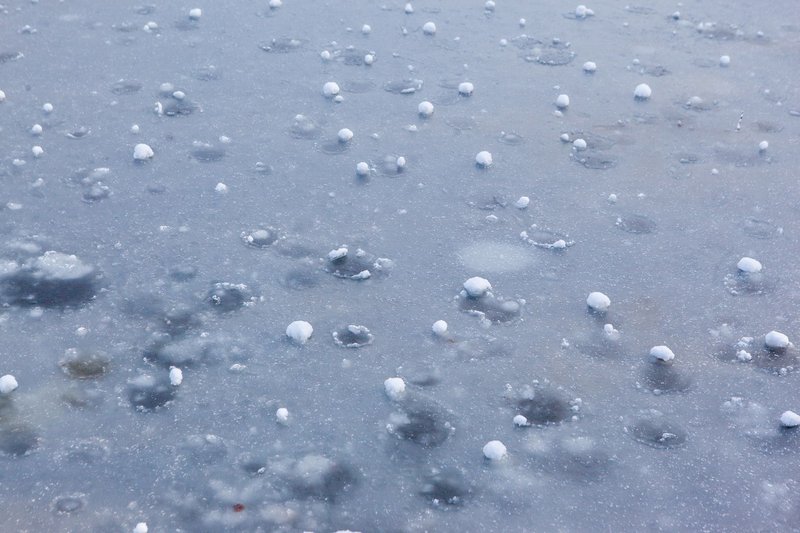
Graupel gets confused with hail all the time. It’s softer, smaller, and forms when snow crystals pick up a coat of frozen droplets, which gives it that white, styrofoam look. If it breaks apart when you squeeze it, it’s graupel.
Sleet vs freezing rain
These two get mixed up constantly, and the word “sleet” doesn’t even mean the same thing everywhere.
In the US, sleet is ice pellets: raindrops that froze in the air before hitting the ground. They bounce and rattle on windows. In Britain and much of the Commonwealth, sleet means a mix of rain and melting snow, which is a different thing entirely.
Freezing rain is the one to worry about. It falls as ordinary liquid rain through a shallow freezing layer at the surface. The drops are supercooled, so they freeze the moment they touch a road, branch or power line, and build up a glaze of ice. Both start with the same setup, a warm layer sitting above a cold one. The difference is how thick the cold layer is. If it’s deep enough, the drops refreeze into pellets before landing (sleet). If it’s thin, they stay liquid until impact (freezing rain).
Convective, orographic and frontal precipitation
Air has to be lifted to make clouds, and meteorologists sort precipitation by what does the lifting.
Convective. The sun heats the ground, the ground heats the air above it, and that air rises in a column. Think of a summer afternoon thunderstorm: short, intense, local, and over within an hour. This is the dominant mechanism in the tropics, and it’s the one that produces hail.
Orographic. Moist air hits a mountain range and is forced up the windward slope. It cools, condenses and rains out. By the time it crosses the ridge, most of its moisture is gone, which creates a dry rain shadow on the leeward side. Mawsynram in India’s Khasi Hills, where the monsoon winds hit a steep escarpment, averages roughly 11,800 mm of rain a year. Compare that with Arica in Chile’s Atacama Desert, which averages under 1 mm.
Frontal. Where a warm air mass meets a cold one, the warm air is lighter and rides up over the cold air. At a warm front, the slope is gentle, so you get wide, steady rain or snow lasting many hours. At a cold front, the cold air wedges under the warm and shoves it up steeply, producing a narrow band of heavy, short-lived rain, sometimes with thunderstorms.
Many storms mix mechanisms. A cold front crossing a mountain range gets lifted twice.
Precipitation in the water cycle
Precipitation is how water moves from the atmosphere back to the surface. The USGS water cycle figures put global precipitation at about 505,000 cubic kilometers a year, with around 80% of it falling directly into the oceans. The remainder lands on continents, where it feeds rivers, soil moisture, lakes and groundwater, or evaporates again.
Averaged over the whole planet, that works out to roughly 1,000 mm per year. The average hides huge swings. Precipitation is concentrated near the equator and in mid-latitude storm tracks, and nearly absent over the subtropical deserts, where air descends and dries out.
How precipitation is measured
Everyone measures rain in depth: how deep the water would be if it stayed where it fell, without soaking in or running off. One millimeter of rain equals one liter of water per square meter. One inch equals 25.4 mm.
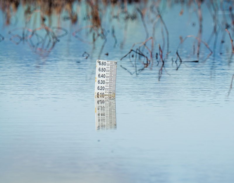
Rain gauges. The simplest is a cylinder with a funnel and a graduated measuring tube. The US National Weather Service standard gauge has an 8-inch opening, and the tube is built so the water level is magnified ten times, which makes readings accurate to 0.01 inch. Tipping-bucket gauges use a seesaw that flips every time it fills (typically at 0.2 mm or 0.01 inch), and each flip is logged electronically. Weighing gauges record the mass of what’s collected, and these work for snow and hail too.
Snow. Depth of snow and depth of water are different numbers. A common rule of thumb is that 10 cm of fresh snow melts down to about 1 cm of water, a 10:1 ratio. The real ratio swings from around 5:1 for wet, heavy snow to 20:1 or more for light powder, so observers melt a core sample to get the water equivalent.
Radar. Weather radar sends out a pulse and measures how much of it bounces back from raindrops, snowflakes or hailstones, reported as reflectivity in dBZ. Bigger and more numerous particles reflect more. Radar covers a whole region in minutes, but it estimates rainfall indirectly, so forecasters calibrate it against gauges on the ground.
Satellites. Instruments in orbit estimate precipitation over oceans and remote land where there are no gauges. They fill the gaps, and they’re what makes global totals possible.
How climate change is shifting precipitation
Warmer air holds about 7% more water vapor per degree Celsius of warming. That extra moisture doesn’t produce more drizzle evenly everywhere. It makes the heaviest events heavier. The IPCC’s Sixth Assessment Report finds that heavy precipitation events have become more frequent and intense over most land areas with good data since the 1950s, and projects further increases as warming continues.
The pattern is uneven. Wet regions generally tend to get wetter and dry subtropical regions drier, and more of the winter precipitation in some cold regions falls as rain instead of snow. That matters for water supplies that rely on mountain snowpack to release water slowly through spring and summer.
FAQ
What is the difference between rain and drizzle?
Size. Drizzle drops are under 0.5 mm across and fall slowly from low, shallow cloud, while rain drops are 0.5 mm or larger and typically come from deeper cloud. Drizzle can feel like it’s floating, and it takes hours to wet you through.
What is the difference between sleet and freezing rain?
Sleet (the US meaning) is rain that froze into ice pellets before landing. Freezing rain stays liquid until it hits a surface below 0°C, then freezes on contact and coats everything in ice. Freezing rain is far more dangerous for roads and power lines.
What is the difference between hail and graupel?
Hail is 5 mm or larger and forms in strong thunderstorm updrafts as layers of solid ice. Graupel is 2 to 5 mm, soft and crumbly, made of snow crystals coated in frozen droplets.
How much precipitation counts as heavy rain?
By the common scale, more than about 7.5 mm per hour. A single hour of that gives a roughly 7.5-liter bucket’s worth of water on every square meter.
Does precipitation always reach the ground?
No. In dry air, falling drops or snowflakes can evaporate or sublimate before landing. Forecasters call the streaks hanging below a cloud virga, and radar can pick up precipitation aloft that never makes it down.
What are the main types of precipitation?
Drizzle, rain, freezing rain, sleet, snow, graupel and hail. National Geographic’s overview of precipitation types covers the basics if you want a second explanation.