Table of Contents
- The short answer
- Why Ol Doinyo Lengai is unlike any other volcano on Earth
- Eruption history: from quiet lava flows to ash columns
- Is Kilimanjaro an active volcano?
- The rest of Tanzania’s volcanoes
- Climbing Ol Doinyo Lengai
- Why this stretch of the rift keeps producing volcanoes
The short answer
Tanzania has one currently active volcano: Ol Doinyo Lengai, a 2,962-meter cone rising above the Gregory Rift near Lake Natron in the north of the country. Everything else people usually lump into “Tanzania’s volcanoes” — Kilimanjaro, Meru, Ngorongoro, Empakaai — is dormant or extinct.
That distinction gets lost constantly, because most reference lists put all of these mountains in one table sorted by elevation, with “last eruption” buried in a column nobody reads closely. Kilimanjaro looks impressive enough that people assume it could blow. It can’t, not anytime soon. Lengai, meanwhile, is small enough that most travelers have never heard of it, despite erupting within the last two decades.
Why Ol Doinyo Lengai is unlike any other volcano on Earth
Ol Doinyo Lengai means “Mountain of God” in the Maasai language, and it’s the only volcano on the planet known to erupt natrocarbonatite lava — a sodium- and potassium-carbonate melt instead of the silica-rich magma that builds every other stratovolcano you’ve heard of. The chemistry changes everything about how it behaves.
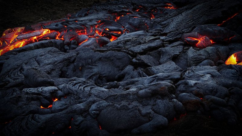
Most lava glows because it’s somewhere north of 1,000°C. Lengai’s carbonatite lava erupts at roughly 540–593°C — cool enough that it glows a dull orange-red at night rather than the blinding white-yellow of a basalt flow, and it flows almost like dark motor oil. Within hours of hitting air, it oxidizes and turns a chalky white, so a fresh flow field looks like it’s been dusted with snow or salt. No other active volcano on Earth produces this. When Lengai’s summit crater has been quiet for a stretch, researchers and guides can walk right up to hardened flows that look almost lunar.
The mineralogy is unusual too: natrocarbonatite is water-soluble, so Lengai’s lava fields erode and reshape themselves after rain in a way that basalt or andesite never would. Geologists have used the mountain as a natural laboratory precisely because this combination doesn’t exist anywhere else, according to a USGS study tracking the volcano’s shift in eruptive behavior.
Eruption history: from quiet lava flows to ash columns
For roughly 25 years, Lengai erupted in a fairly gentle, predictable way — periodic effusions of that low-temperature natrocarbonatite lava pooling and flowing inside and around its summit crater. Then, in 2007, the volcano changed character.
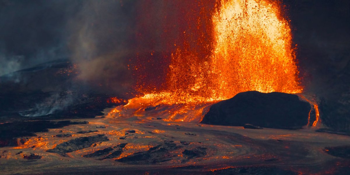
A large lava eruption in March 2006 was followed by a quiet year, a resumption of natrocarbonatite flows in mid-2007, and then a swarm of volcano-tectonic earthquakes that July. On September 4, 2007, the eruption style flipped abruptly from effusive to explosive. Ash jets around 100 meters high escalated into eruption columns reaching 2 to 15 kilometers, scattering ash as far as 100 kilometers from the summit.
Over 2007 and 2008, the explosive activity built a pyroclastic cone roughly 400 meters wide and 75 meters tall inside the crater, with intense peaks in late September 2007 and February 2008 — the latter producing the first pyroclastic flows ever documented at the volcano. The magma driving this phase wasn’t the usual carbonatite; it was a related but distinct carbonated nephelinite melt, a composition researchers have seen recur at Lengai roughly every century. Explosive and ash-producing episodes continued intermittently through 2010, damaging structures in nearby Maasai communities and periodically closing the mountain to climbers.
Since then, activity has cycled between quieter effusive phases and shorter explosive pulses, which is exactly the pattern that keeps Lengai on the Smithsonian Global Volcanism Program’s active-watch list rather than its dormant one.
Is Kilimanjaro an active volcano?
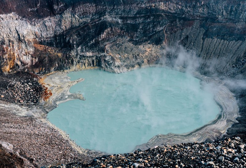
No — not in the sense that matters for planning a trip or worrying about an eruption. Kilimanjaro is actually three volcanic cones fused together: Shira and Mawenzi are extinct, while Kibo, the tallest and the one with the iconic snow-capped summit, is classified as dormant rather than dead. Kibo’s last major eruptive activity is estimated at around 360,000 years ago, and fumaroles near its crater rim still vent sulfur dioxide and carbon dioxide — evidence the magma system underneath hasn’t fully gone cold, even if there’s no indication of an eruption on any practical timescale.
That’s a fundamentally different status than Lengai, which erupted explosively within living memory and could do so again on a timescale of years, not geologic ages.
The rest of Tanzania’s volcanoes
Once you filter for “actually active,” Tanzania’s other well-known volcanic peaks sort into two buckets:
Dormant — quiet now, but with a documented eruptive past recent enough to keep them on watch lists:
- Mount Meru, near Arusha, has at least three historically recorded eruptions since 1878, the most recent in 1910. That recency is why volcanologists still classify it as dormant rather than extinct, even though it hasn’t erupted in over a century.
- Ngorongoro and its surrounding highland volcanoes were active in the Pliocene and Pleistocene, building the caldera that now holds the famous crater floor, but show no eruptive activity in the historical record.
Extinct or effectively so — no eruptions expected under any current model:
- Empakaai and Kerimasi, both part of the same volcanic highlands as Ngorongoro and Lengai, last erupted well before recorded history and show no unrest today.
The pattern across all of them: age and elevation don’t predict activity. Lengai is one of the smaller peaks on this list and the only one that’s erupted this century.
Climbing Ol Doinyo Lengai
Because Lengai is genuinely active, a trek up it is not a casual add-on to a Serengeti itinerary — but it is doable, and it’s one of the more distinctive climbs in East Africa precisely because you’re walking on ground that reshaped itself within the last two decades.
The basics: the round trip covers roughly 10.5 kilometers (6.5 miles) and 8 to 12 hours, depending on fitness and conditions. Most groups start the ascent at midnight or in the very early morning specifically to avoid climbing the volcano’s steep, loose ash-and-gravel slopes in direct equatorial heat — the terrain is notoriously unstable underfoot on both the way up and the way down.
Guides and permits: independent climbing isn’t really an option. Local Maasai guides are required, both for navigation on a mountain with no marked trail and because access runs through community and conservation land near Lake Natron. Reputable operators bundle permits, conservation fees, and guide arrangements into the booking, which is the practical way most travelers handle it rather than negotiating access separately.
Gear that actually matters here: sturdy boots with ankle support (the ash scree shifts constantly), trekking poles, layered clothing for the temperature swing between a midnight start and a hot summit sunrise, gloves for scrambling sections, and more water than feels necessary — there’s no source on the mountain.
Best time to go: the dry seasons, roughly June through October and January through February, when the ash slopes are firmer and less prone to turning into slick mud. Rain on Lengai’s slopes is more than uncomfortable — it’s genuinely hazardous given the grade and surface.
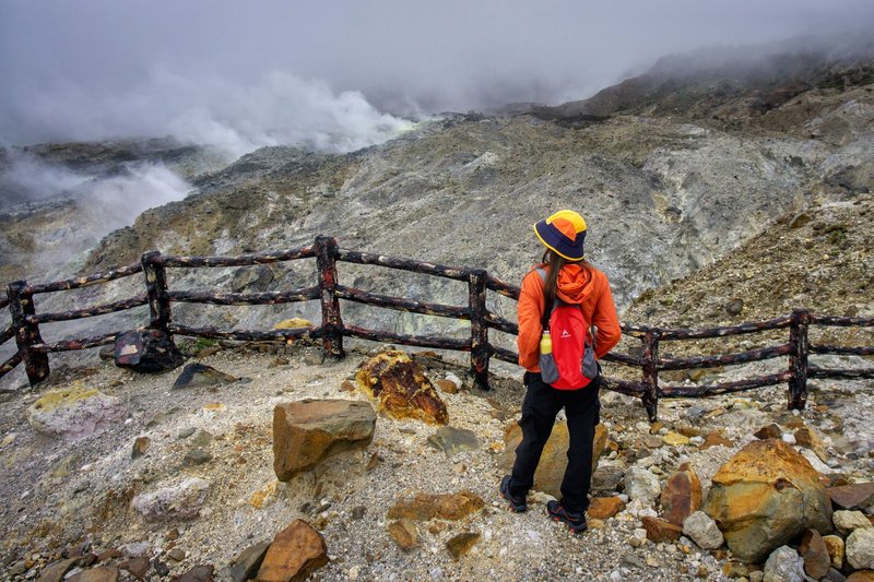
Because the volcano is intermittently active, access does get suspended during and after explosive episodes. Checking current conditions with a Tanzania-based operator before booking flights is worth the five-minute email, not an optional precaution.
Why this stretch of the rift keeps producing volcanoes
Lengai and its dormant neighbors all sit along the Gregory Rift, the eastern branch of the East African Rift where the continent is slowly tearing itself in two. As the crust thins and stretches, it creates exactly the kind of low-pressure pathways that let magma — including Lengai’s chemically rare carbonatite melt — reach the surface. That’s also why this small cluster of highland volcanoes near Ngorongoro and Natron produced such varied rock chemistry in a tight geographic area: Kilimanjaro’s basalt-andesite system, Meru’s more typical stratovolcano composition, and Lengai’s carbonatite are all products of the same rift, pulling apart in slightly different ways at each vent.
For now, that active vent is just the one. If Tanzania ever gets a second, it’ll be news well beyond volcanology circles — natrocarbonatite eruptions are rare enough globally that a new one anywhere would be a genuine scientific event, not just a regional headline.