
As an Amazon Associate we earn from qualifying purchases. Disclosure
Last July, on a drive across southern Idaho, my son Sami asked why the hill beside the highway was black on top and white underneath. We pulled into a gravel turnout to look. The black was a basalt lava flow. The white under it was volcanic ash and lakebed silt, the ground the lava flowed over. His sister Noor counted five layers before I could get the water bottles out of the back.
That question, asked about a road cut at sixty miles an hour, is the reason the Roadside Geology books exist. Each one takes a single state, splits it into highway routes and explains the rocks you see from the car, in order, with maps keyed to towns and mile markers. The best Roadside Geology book is the one for the state you are driving through. If you get to choose, the most popular titles are Washington and Oregon, both by Marli Miller, and the newest are Arizona and Texas, both revised in 2025.
I am a geoscientist. My field years were spent on Antarctic ice cores, river systems in the Amazon and volcano monitoring stations in East Africa, so I read road cuts out of habit. The picks below come from the current catalog, edition by edition, with the old printings flagged so you do not buy a 1991 book when a 2025 one is on the shelf.
Quick picks
| Pick | Best for | Edition |
|---|---|---|
| Roadside Geology of Washington | Most popular in the series | 2nd, 2017 |
| Roadside Geology of Oregon | Best writing for a nongeologist | 2nd, 2014 |
| Roadside Geology of Utah | National parks road trip | 2nd, 2014 |
| Roadside Geology of Arizona | Newest edition, Grand Canyon trips | 2nd, 2025 |
| Roadside Geology of Texas | Newest edition, Big Bend | 3rd, 2025 |
| Roadside Geology of Hawaii | Volcano trips | 2nd, 2022 |
| 101 American Geo-Sites You’ve Gotta See | Cross-country trips | 2012 |
| Ade Advanced Optics 10x triplet loupe | The one tool to bring |
What a Roadside Geology book is
Roadside Geology is a series of state guidebooks written by working geologists for people who are not geologists. Mountain Press of Missoula, Montana, started it in 1972 with Roadside Geology of the Northern Rockies. The series now covers more than 30 states, each in a 6 by 9 inch paperback of roughly 230 to 480 pages.
Every book follows the same plan. The opening chapter tells the state’s geologic history in a few pages. The rest is a set of road guides, one per highway, that run from town to town and describe what you see on each side: the rock in a road cut, the fault under a valley, the old lakeshore on a hillside. A geologic map opens each road guide, and the newer editions are in full color, with photographs taken from the road.
In November 2024 the Geological Society of America bought the Roadside Geology, Geology Underfoot and Geology Rocks! series from Mountain Press. GSA’s first new title was the second edition of Roadside Geology of Arizona, and the Texas third edition followed in 2025. Mountain Press still sells the books, and Amazon now lists GSA as the publisher.
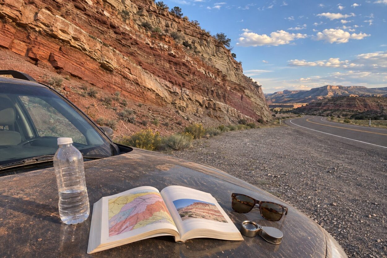
The best Roadside Geology books for the West
The West gets the most popular books in the series for a simple reason: the rocks are bare. In a dry climate with little soil and few trees, a road cut shows everything. These are the titles with the most Amazon ratings, and each covers a state where a road trip is a geology field trip whether you plan it or not.
Most popular in the series
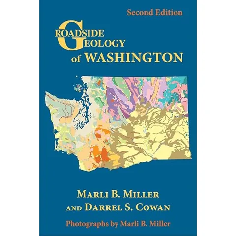
1. Roadside Geology of Washington
Washington has active Cascade volcanoes, a subduction zone off the coast and the Channeled Scabland, the landscape cut by more than forty of the largest floods known on Earth at the end of the last ice age. Marli Miller and Darrel Cowan cover all of it along more than forty highways, from 45-million-year-old sandstone in the sea cliffs at Cape Flattery to 1.4-billion-year-old rock near Spokane.
It has more Amazon ratings than any other book in the series. Miller is also a geology photographer, and most of the photos in the book are hers.
- Marli B. Miller and Darrel S. Cowan
- 2nd edition, 2017, 392 pages, full color
- Best stretch: I-90 across the Channeled Scabland
Good: the ice age floods, the volcanoes and the coast in one book, with photos taken for it. Not great: the Oregon side of the Columbia River Gorge is in the Oregon book, so a Gorge trip needs both.
Check on Amazon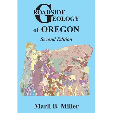
Best writing for a nongeologist
2. Roadside Geology of Oregon
The first edition came out in 1978, before geologists knew that Oregon’s Klamath and Blue Mountains are pieces of old island arcs and ocean floor that drifted in and stuck to North America. Marli Miller rewrote the book from scratch for the second edition, so the plate tectonics story runs through every chapter instead of being added at the end.
Oregon is a good state to learn the series on. In a single day of driving you can cross a volcanic arc, a basalt plateau and a desert basin with a fault on each side.
- Marli B. Miller
- 2nd edition, 2014, 400 pages, full color
- Covers the Cascades, the coast, the Columbia River basalts and the Basin and Range
Good: a complete rewrite, not a patch on a 1970s book. Not great: it is now more than ten years old, so a few landslides and eruptions since 2014 are missing.
Check on Amazon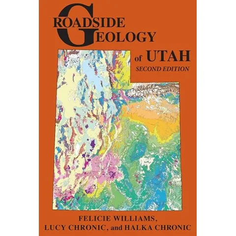
Best for a national parks road trip
3. Roadside Geology of Utah
Arches, Canyonlands, Capitol Reef, Bryce Canyon and Zion sit on the Colorado Plateau, where the rock layers lie nearly flat and each canyon wall is a page of the same history. This book’s 65 road guides cover the interstates and the slow two-lane highways between the parks, plus the Wasatch Range and the Great Basin to the west.
Buy it for a Utah parks loop. The drives between the parks take longer than the hikes, and that is where this book is most useful.
- Felicie Williams, Lucy Chronic and Halka Chronic
- 2nd edition, 2014, 384 pages
- 65 road guides and more than 300 color photos, maps and figures
Good: 65 road guides, more than most state books. Not great: it covers the whole state briefly; for site-by-site detail in the southern parks, add Geology Underfoot in Southern Utah.
Check on Amazon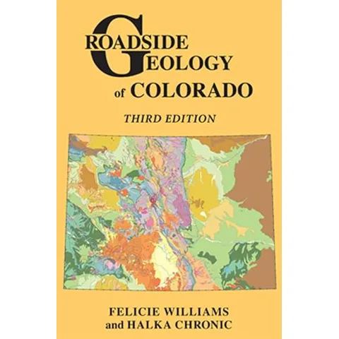
Best for mountain passes
4. Roadside Geology of Colorado
Colorado’s rocks come in white and red sandstone, green shale and pink granite, and the third edition was the first one printed in full color. It added the mastodons and other ice age fossils found at Snowmass and newer parks such as Chimney Rock National Monument.
The book is strongest on the passes, where a single road climbs from sedimentary layers on the plains up into granite more than a billion years old.
- Felicie Williams and Halka Chronic
- 3rd edition, 2014, 416 pages, full color
- Halka Chronic wrote the original Colorado, Utah and Arizona books
Good: clear maps of complicated mountain geology. Not great: for Denver to Boulder day trips, Geology Underfoot Along Colorado’s Front Range covers individual stops in more detail.
Check on Amazon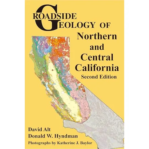
Best for Northern California
5. Roadside Geology of Northern and Central California
California needs two books. This one covers the northern two thirds of the state: the Sierra Nevada, the Coast Ranges, the Klamath Mountains and the Cascade volcanoes of Mount Shasta and Lassen Peak, plus the San Andreas Fault through the Bay Area.
David Alt and Donald Hyndman wrote several of the earliest books in the series, and this second edition is in full color.
- David Alt and Donald W. Hyndman
- 2nd edition, 2016, 384 pages
- Photographs by Katherine J. Baylor
Good: Yosemite, Tahoe, the Bay Area and the north coast in one book. Not great: Los Angeles and the southern deserts are in the separate southern book, so a full coast trip needs both.
Check on Amazon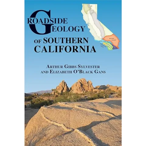
Best for Southern California
6. Roadside Geology of Southern California
Southern California is where the San Andreas Fault runs closest to the most people, and the book follows it along with the Transverse Ranges, the Mojave Desert, Joshua Tree and the Salton Trough. Arthur Gibbs Sylvester is a structural geologist who taught at UC Santa Barbara and has studied the state’s faults for decades.
- Arthur Gibbs Sylvester and Elizabeth O’Black Gans
- 2016, 400 pages
- Pairs with the same authors’ Geology Underfoot in Southern California
Good: written by a fault specialist, which matters in this part of the state. Not great: desert routes are long, so read the next section before you reach it, not at the turnoff.
Check on Amazon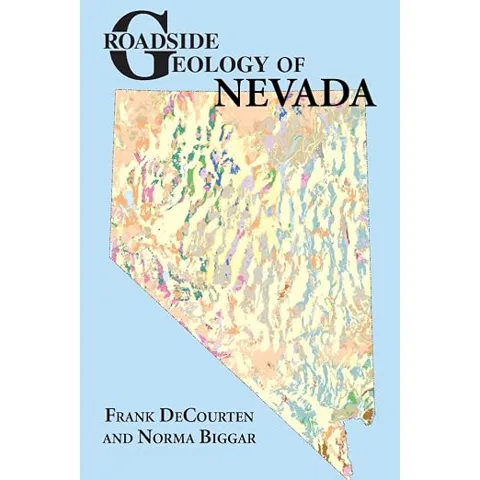
Best for empty highways
7. Roadside Geology of Nevada
Nevada is the Basin and Range at its plainest: the crust is being pulled apart, and the result is long mountain ranges with flat valleys between them, repeated across the state. The book covers more than thirty highways, including the shorelines of ice age lakes, the tufa towers at Pyramid Lake, the ichthyosaur fossils at Berlin and the Great Unconformity at Frenchman Mountain near Las Vegas.
On US 50, called the loneliest road in America, there is little to look at except geology. This book turns those hours into something to talk about.
- Frank DeCourten and Norma Biggar
- 2017, 416 pages
- Also covers mining history at Virginia City and the Comstock Lode
Good: it makes the dullest-looking state on the map worth reading about. Not great: no newer edition since 2017, and there is no Geology Underfoot book for Nevada to add detail.
Check on Amazon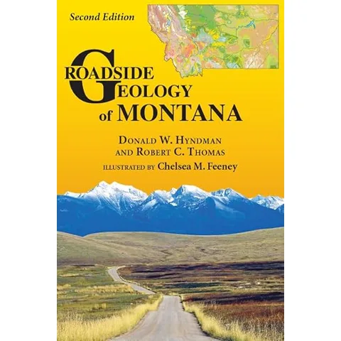
Biggest book in the series
8. Roadside Geology of Montana
At 480 pages, the Montana second edition is the thickest book here. It covers the ripple marks up to 50 feet high left when Glacial Lake Missoula drained, the dinosaur badlands of the east, the copper mines of Butte and the north edge of the Yellowstone volcano.
The series started in Montana. Its first book, Roadside Geology of the Northern Rockies (1972), was later split, and the Montana part became this title.
- Donald W. Hyndman and Robert C. Thomas
- 2nd edition, 2020, 480 pages, full color
- Illustrated by Chelsea M. Feeney
Good: one of the newest full revisions, and very thorough. Not great: it is heavy for a glove box.
Check on Amazon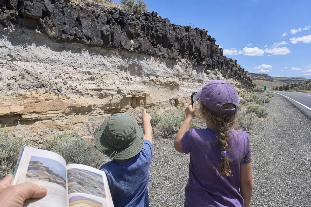
The newest editions
Several states got a new edition in the last few years, and each one is a full rewrite in color. If your state is on this list, buy new rather than used: a used copy is often the previous edition with black and white photos and maps that predate decades of research.
Newest edition, best for Grand Canyon trips
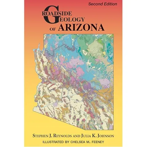
9. Roadside Geology of Arizona
Halka Chronic’s 1983 original was one of the most loved books in the series. The 2025 second edition by Stephen Reynolds and Julia Johnson replaces it with a full-color book covering the Painted Desert, the red and white sandstone of Sedona, Petrified Forest National Park and the copper districts of Bisbee and Morenci.
The Grand Canyon chapter explains the 1- to 2-billion-year-old rocks at the bottom of the canyon. Related rocks also crop out in parks on the edges of Phoenix, Tucson and Prescott, so the book works for day trips too.
- Stephen J. Reynolds and Julia K. Johnson
- 2nd edition, 2025, 432 pages, full color
- The first book GSA published after taking over the series
Good: the newest research in the series, written by longtime Arizona geologists. Not great: used listings still sell the 1983 edition, so check the cover says Second Edition.
Check on Amazon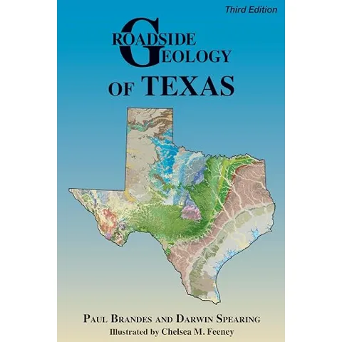
Newest edition, best for Big Bend
10. Roadside Geology of Texas
Before September 2025 the Texas book had not been revised since 1991. The third edition covers 50 roads plus nearby parks, including five roads inside Big Bend National Park, with more than 250 color photos and illustrations.
Texas is a big state with long drives, and the geology changes more than most people expect: Gulf Coast barrier islands, Hill Country limestone, the Llano Uplift’s granite and the volcanic mountains of the Trans-Pecos.
- Paul Brandes and Darwin Spearing
- 3rd edition, 2025, 374 pages, full color
- ISBN 978-0-8137-4128-4 (the new GSA number)
Good: brand new, and the first full Texas update in more than thirty years. Not great: Amazon still lists the two older editions on separate pages; this button goes to the 2025 one.
Check on Amazon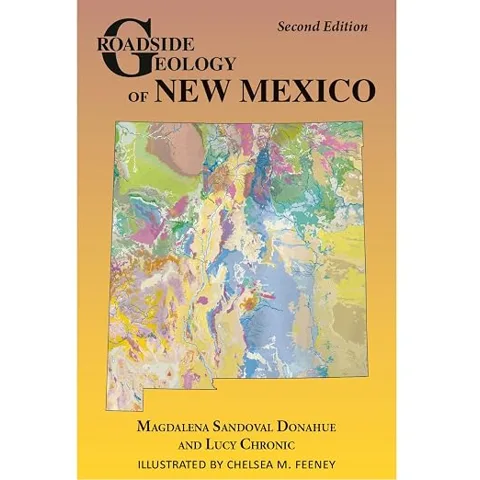
Best for desert landforms
11. Roadside Geology of New Mexico
New Mexico has the gypsum dunes of White Sands, the limestone caverns of Carlsbad, the tent rocks of Kasha-Katuwe, lava tubes, cinder cones and dinosaur trackways. The 2024 second edition updates Lucy Chronic’s original with full-color maps and photos.
- Magdalena Sandoval Donahue and Lucy Chronic
- 2nd edition, 2024, 368 pages, full color
- Illustrated by Chelsea M. Feeney
Good: new, and well paired with a White Sands or Carlsbad trip. Not great: used listings still sell Lucy Chronic’s first edition, so check the cover says Second Edition.
Check on Amazon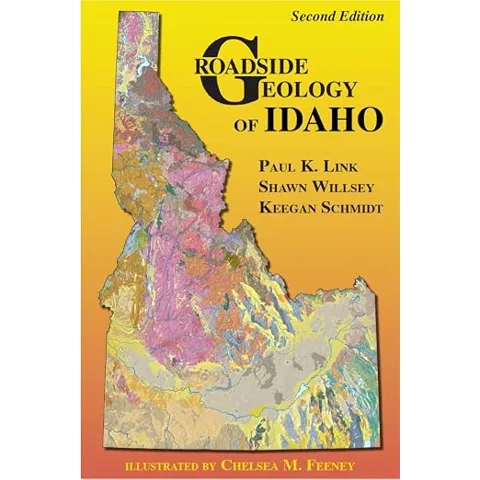
Best for lava fields and flood country
12. Roadside Geology of Idaho
Southern Idaho is the track the Yellowstone hotspot left as North America moved over it: the Snake River Plain, Craters of the Moon, and lava flows that dammed river valleys. North of the plain are granite mountains, and the whole state carries marks of floods released when ice and sediment dams broke.
Three field geologists wrote this 2021 edition, and it is built for people who want to stop. It points to specific road cuts and outcrops where you can park and walk up to the rock.
- Paul Link, Shawn Willsey and Keegan Schmidt
- 2nd edition, 2021, 416 pages, full color
- Willsey also wrote Geology Underfoot in Southern Idaho
Good: recent, and specific about where to pull over. Not great: Yellowstone itself is in a separate book.
Check on AmazonOther recent books: Alabama and Kansas both came out in 2023, and Oklahoma in 2020. Each is the first Roadside Geology book for that state, so there is no older edition to confuse it with.
Hawaii, Alaska and Yellowstone
These three are the books most often bought for one specific vacation rather than for home. Each covers volcanoes, and each covers ground that changes fast enough for the edition date to matter.
Volcanoes are where I learned to read the ground. At monitoring stations in East Africa, a new crack, a dead patch of grass or a sulfur smell told us more than the instruments did on some days. Hawaii and Yellowstone are the two places in the US where a family on vacation can see that kind of active ground from a road or a boardwalk.
Best for a volcano trip
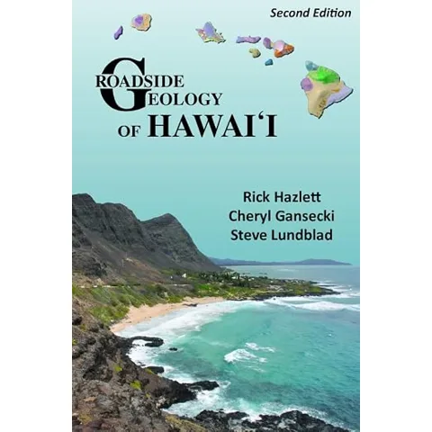
13. Roadside Geology of Hawaii
The 2022 second edition includes the 2018 eruption of Kīlauea, which reshaped the summit caldera and buried hundreds of homes in lower Puna. It covers every main island, from the eroded older islands such as Kauaʻi, with Waimea Canyon, to the active volcanoes of the Big Island.
- Rick Hazlett, Cheryl Gansecki and Steve Lundblad
- 2nd edition, 2022, 336 pages, full color
- Includes lava tubes, black sand beaches and Haleakalā on Maui
Good: covers the 2018 eruption, and every island in one book. Not great: Kīlauea has kept erupting since it went to press, so check the USGS Hawaiian Volcano Observatory before you go.
Check on Amazon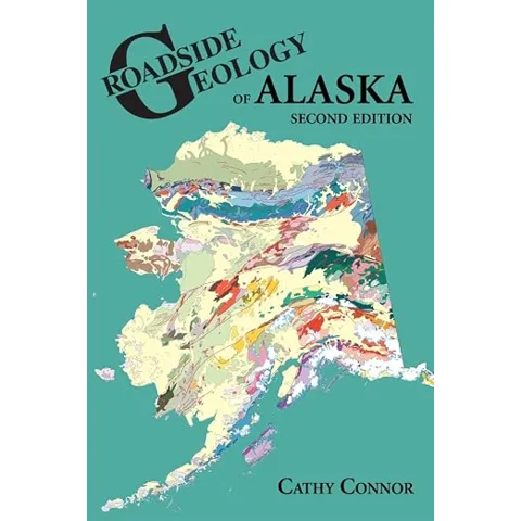
Best for Alaska, by road or by boat
14. Roadside Geology of Alaska
Denali is still rising, pushed up by the plate colliding with Alaska from the south. The same collision built the Gulf Coast mountains and their icefields and caused the magnitude 9.2 earthquake of 1964. Cathy Connor’s second edition covers the roads of Alaska and the adjoining parts of British Columbia and the Yukon.
It also has a section on “boatside geology”: the fjords of Southeast Alaska, the Bering Sea islands and the Tatshenshini River. That makes it the right book for an Inside Passage cruise as well as a drive.
- Cathy Connor
- 2nd edition, 2014, 328 pages
- Covers glaciers, permafrost and the Alaska Highway
Good: works from a car or a ship deck. Not great: glaciers have retreated since 2014, so some photos show more ice than you will see.
Check on Amazon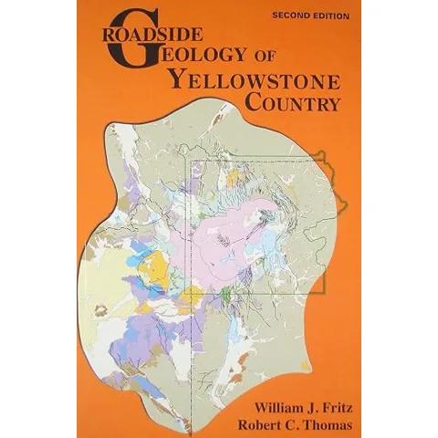
Best for Yellowstone and the Tetons area
15. Roadside Geology of Yellowstone Country
Yellowstone holds about a fifth of the world’s geysers among more than 10,000 hot springs, fumaroles, mud pots and geysers. The book’s 19 road guides cover the park and the country around it in Wyoming, Montana and Idaho, including the petrified trees of the Lamar Valley area and the glacially carved Beartooth Mountains.
- William J. Fritz and Robert C. Thomas
- 2nd edition, 2011, 328 pages, full color
- Covers parts of three states, so it sits next to the Wyoming, Montana and Idaho books
Good: a whole book on one region instead of a chapter in a state book. Not great: 2011 is old for a place this active, and Amazon often sells it through other sellers, so check the edition on the listing.
Check on AmazonIf the Yellowstone trip continues into Wyoming, know that Roadside Geology of Wyoming is still the 1991 second edition. For the Yellowstone volcano itself, see our list of active volcanoes in Wyoming.
Roadside Geology books by state: the full list
This table lists every state with its current Roadside Geology book, edition, year and page count. Where the series has no book for a state, the table says so. Books marked out of print are no longer in the publisher’s catalog; copies on Amazon come from other sellers. Scroll inside the table to see all 50 states and Washington, D.C.
A few notes on the table. The Maryland book also covers Delaware and Washington, D.C., and the Connecticut book covers Rhode Island. California has two books, one for the north and center and one for the south. Wyoming, Montana and Idaho share the Yellowstone Country book. Where the edition column is blank, neither the publisher nor Amazon states an edition number.
States with no Roadside Geology book
Seven states have no Roadside Geology book: Arkansas, Illinois, Iowa, Kentucky, North Carolina, North Dakota and South Carolina. Michigan has no Roadside Geology title either, but it has a Geology Rocks! guide. Eight more states had a book that has gone out of print: Louisiana, Massachusetts, Nebraska, New Hampshire, New York, Pennsylvania, Vermont and Virginia.
For those states, use one of these instead:
- Geology Rocks! guides, from the same publisher, describe 50 or so individual sites in a state rather than whole highways. They are shorter, about 110 to 170 pages, and Michigan and Virginia have one.
- State geological survey road logs. Most state surveys publish free field trip guides with stop-by-stop directions. Search the survey’s website for “field trip guide” or “road log”.
- 101 American Geo-Sites You’ve Gotta See covers at least one site in every state.
Best for a state without a Roadside Geology book
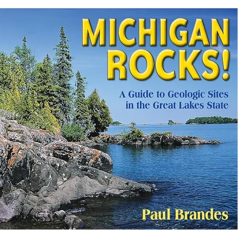
16. Michigan Rocks!
Michigan borders four of the five Great Lakes, and its shorelines expose rocks from 3.6-billion-year-old gneiss to modern river potholes. The book guides you to 56 sites, from Isle Royale and the Upper Peninsula to the Thumb, including Lake Superior agate beaches and Petoskey State Park, where you can look for the state stone.
- Paul Brandes
- 2023, 144 pages, full color
- 56 sites, each with directions and a short explanation
Good: fills the biggest gap in the series. Not great: it is a site guide, not a highway guide, so it does not narrate the drive between stops. Our list of minerals in Michigan covers what you can collect.
Check on Amazon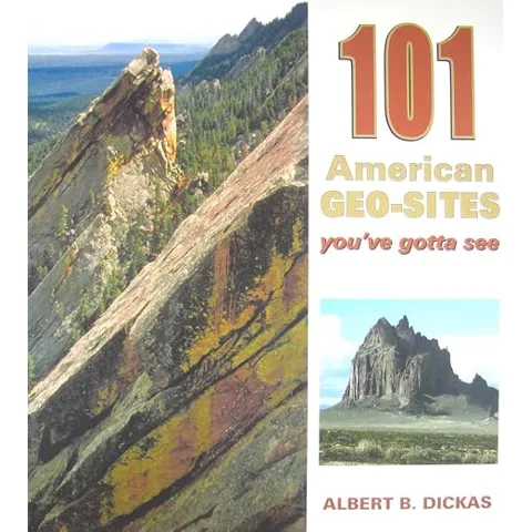
Best for a cross-country trip
17. 101 American Geo-Sites You’ve Gotta See
If your route crosses six states, buying six Roadside Geology books is a lot of paper. This book picks at least one site per state, from Devils Tower to the Reelfoot scarp in Tennessee, left by the 1811 and 1812 New Madrid earthquakes, and Avery Island in Louisiana, which sits on top of a column of salt miles deep.
- Albert B. Dickas
- 2012, 264 pages, full color
- Covers all 50 states
Good: one book for the whole country, and good for picking stops before you leave. Not great: one or two pages per site, so it does not explain the road between them.
Check on AmazonThe Geology Underfoot books work the same way for smaller regions. The best of them for a national park trip is the Death Valley volume.
Best Geology Underfoot book
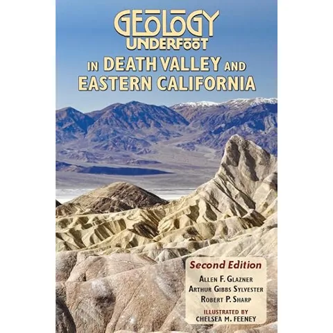
18. Geology Underfoot in Death Valley and Eastern California
Thirty-three sites, each a chapter of its own: Badwater, Zabriskie Point, the Racetrack and its sliding stones, Ubehebe Crater, the Alabama Hills, the bristlecone pines and the Long Valley caldera near Mammoth. The second edition builds on notes by Robert Sharp, who taught field geology at Caltech for decades.
- Allen F. Glazner, Arthur Gibbs Sylvester and Robert P. Sharp
- 2nd edition, 2022, 328 pages, full color
- Includes sites along US 395, from the Alabama Hills to the Mono Craters
Good: more detail per stop than any Roadside Geology book. Not great: it covers sites, not whole highways.
Check on AmazonOld editions to avoid
Used Roadside Geology books are everywhere, in thrift stores and gift shops, at every price. Most of the time an older edition is fine for a coffee table and wrong for a road trip. Roads change, parks open and the science moves on. The first editions of the Oregon and Washington books were written before most of what geologists now know about how those states were assembled.
Check three things before you buy:
- The edition on the cover. Current editions print “Second Edition” or “Third Edition” on the front. If a listing photo shows a plain cover for Arizona, Texas, Idaho, Montana, Hawaii or New Mexico, it is the old book.
- The ISBN. The table above links to the current ISBN for each state. Texas is the trap: the 2025 edition has a GSA number (978-0-8137-4128-4), and the 1991 edition is still listed on Amazon under the old one.
- Color. Most books revised since 2010 are in full color. A black and white interior is a sign of an older edition.
Some states have never been revised, so the current book is also an old one: Wyoming (1991), South Dakota (1996), Maine (1998), Indiana (1999), Wisconsin (2004), Ohio (2006), Connecticut and Rhode Island (2008), Florida (2008) and Minnesota (2009). They are still the best road guides for those states. The rocks have not changed, but treat directions to specific road cuts and pullouts as dated.
The most common mistake: buying a used copy online because it costs less, then finding a 1983 printing in the mail. Match the edition and year in the table before you click Buy.
How to use a Roadside Geology book on a road trip
Read the state’s introduction the night before. It is a few pages long and gives the big story, such as “this state is a pile of island arcs” or “this state is a stretched crust”, that every road guide refers back to. Without it, the road guides are a list of rock names.
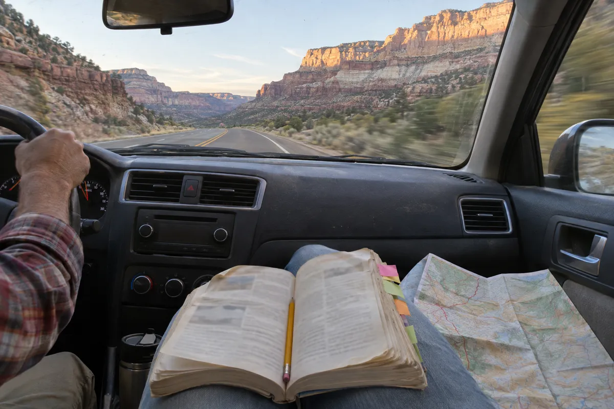
In the car, the passenger reads. Each road guide runs in one direction, so if you are driving the other way, read the section ahead and work backward. The maps mark towns and many mile markers, which is how you know when to look up. On interstates, read the next 20 miles at a time, aloud, and let the kids watch for whatever the book promises.
Pull over only where it is legal and safe. Stopping on an interstate shoulder to look at rocks is illegal in most states and dangerous everywhere. Use exits, scenic pullouts, rest areas and wide gravel turnouts on two-lane roads, and keep children on the far side of the car from traffic. Road cuts also drop rocks, so do not stand right under a steep face.
The habit I keep from field work is labeling. On ice-core camps in Antarctica every sample got a label before it got opened. On road trips every rock that comes into the car goes into a small bag with a strip of tape that says where it came from: highway, mile marker, date. Without the label, a rock on the dashboard is just a rock. With it, you can look it up in the book that evening.
Know the collecting rules. Collecting rocks, minerals and fossils is prohibited in national parks under federal regulations, and most state parks have similar rules. On most Bureau of Land Management land, small amounts of common rocks and invertebrate fossils can be collected for personal use. Vertebrate fossils, such as bones and teeth, are protected on all federal land. When in doubt, take a photo instead. Our fossils near me map shows public sites where looking is welcome.
What to bring besides the book
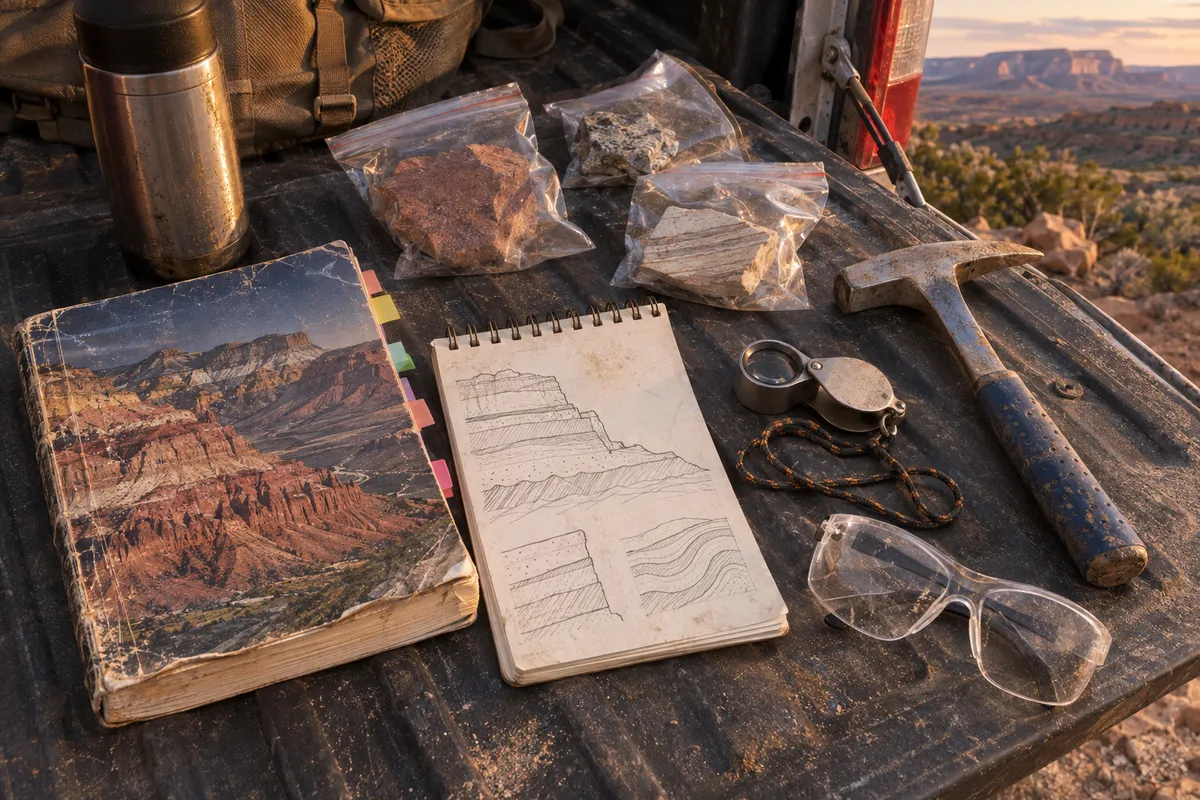
A Roadside Geology book needs very little equipment. Two tools make it more useful: a hand lens to see the grains in a rock, and, for places where collecting is allowed, a rock hammer. If you are new to geology, pair the state book with one of the best geology books for beginners.
The one tool to bring
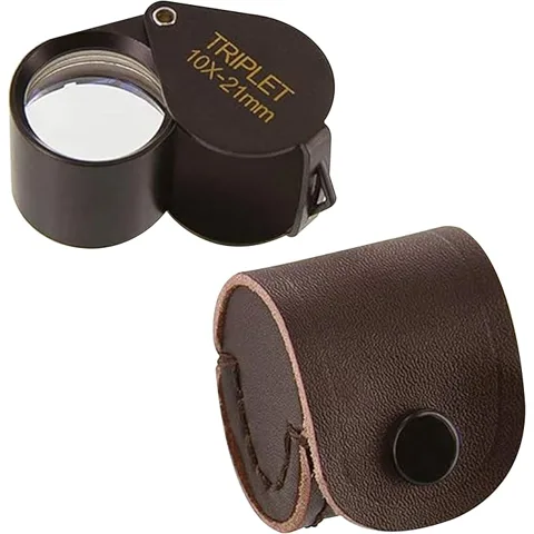
19. Ade Advanced Optics 10x Triplet Loupe
Geologists carry a 10x hand lens because 10x is enough to see the separate crystals in granite, the rounded grains in sandstone and the tiny holes in basalt. A triplet lens is three glass elements bonded together, which keeps the image sharp to the edges instead of blurring and fringing with color like a single cheap lens.
This one has a 21 mm glass lens, folds into its own metal housing and comes with a leather case. Hold it close to your eye and bring the rock up to it, not the other way around.
- 10x magnification, 21 mm triplet glass lens
- Leather case with snap closure
- About 1.6 ounces
Good: real triplet optics in a pocket size. Not great: add a cord or lanyard, because a loose loupe gets left on a rock.
Check on Amazon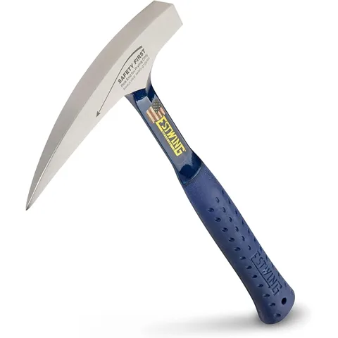
For places where collecting is allowed
20. Estwing 22 oz Rock Pick (E3-22P)
The blue-handled Estwing is the standard rock hammer in North American geology field camps. It is forged from one piece of steel, so the head cannot work loose, and it has a square face on one end and a pointed pick on the other for splitting rock along its layers.
Wear safety glasses whenever you hammer, and keep children back. Rock chips fly fast and sharp. Never hammer in a national park or on a road cut beside traffic.
- 22 oz head, pointed tip
- One-piece forged steel, shock reduction grip
- About 13 inches long
Good: the hammer most geologists own. Not great: unnecessary unless you plan to collect, and illegal to use in national parks.
Check on AmazonAdd a small notebook, a pencil, zip bags, masking tape and a marker. If the trip includes volcano country, our world volcano map shows every volcano along the route, and if a road trip sparks a bigger interest in geology books for home, see our list of science coffee table books.
FAQ
The best Roadside Geology book is the one for the state you are driving through, because each book only covers its own state. Among all of them, Roadside Geology of Washington and Roadside Geology of Oregon, both by Marli Miller, have the most Amazon ratings. Arizona and Texas have the newest editions, both from 2025.
Thirty-four Roadside Geology titles are in print as of November 2026, covering 34 states, Washington, D.C. and the Yellowstone region. Eight more older titles, including New York, Pennsylvania and Virginia, are out of print but still sold used.
Mountain Press Publishing of Missoula, Montana, started the series in 1972 and published it for over fifty years. The Geological Society of America bought the series in November 2024. New editions now carry GSA as publisher, and Mountain Press still sells the books.
Arkansas, Illinois, Iowa, Kentucky, Michigan, North Carolina, North Dakota and South Carolina have no Roadside Geology book. Louisiana, Massachusetts, Nebraska, New Hampshire, New York, Pennsylvania, Vermont and Virginia had one that is now out of print. Michigan and Virginia have Geology Rocks! guides instead.
Roadside Geology books follow highways across a whole state and describe the rocks mile by mile. Geology Underfoot books cover a smaller region, such as Death Valley or Southern Utah, as a set of separate sites with a chapter each. Geology Underfoot gives more detail per stop and Roadside Geology covers the drive between stops.
An old edition is fine for armchair reading, but buy the current edition for a road trip. Arizona, Texas, Idaho, Montana, Hawaii, New Mexico, Oregon, Washington and Colorado have newer editions with color photos, updated science and current roads. Check the edition and ISBN before buying a used copy.
Roadside Geology books are written for adults with no geology background, so an adult or a teen reads them aloud and children watch for the features. Kids aged about 7 and up enjoy spotting what the book describes, such as a lava flow, a fault or fossil shells in a road cut. For young children, pair the book with a hand lens and a sample bag for each stop.
Collecting from road cuts beside highways is unsafe and often illegal, and stopping on interstate shoulders is prohibited in most states. Collecting of any kind is banned in national parks. On most Bureau of Land Management land, small amounts of common rocks for personal use are allowed. Check the rules of the land you are on before taking anything.
Sources
- Mountain Press: Roadside Geology series
- Geological Society of America: GSA acquires Mountain Press geology book series (2024)
- Geological Society of America: Roadside Geology of Arizona, second edition
- Geological Society of America: Roadside Geology of Texas, third edition
- 36 CFR 2.1: Preservation of natural, cultural and archeological resources (national parks)
- Bureau of Land Management: Rockhounding
- USGS Hawaiian Volcano Observatory