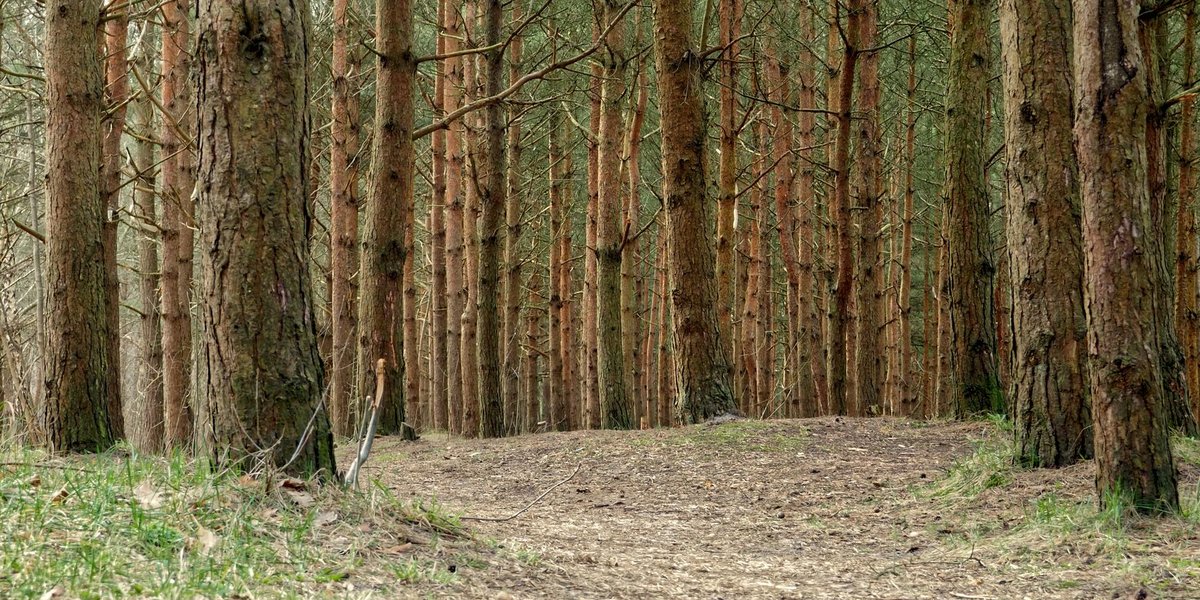
Ask someone to name Mississippi’s natural resources and you’ll get catfish and cotton, maybe casinos if they’re feeling cynical. The real list runs deeper: an aquifer system that supplies most of the state’s water without a single filtration plant in sight, an extinct volcano venting the carbon dioxide that keeps century-old oil wells pumping, and enough pine to support a $15 billion industry. This isn’t the textbook version. It’s the version that explains why the state’s economy looks the way it does.
Quick Facts: Mississippi’s Natural Resources at a Glance
- Water: Groundwater covers roughly 80% of the state’s freshwater use, most of it drawn from the Mississippi River Valley Alluvial Aquifer beneath the Delta.
- Forests: About 62% of Mississippi is timberland, and forestry is a $15.4 billion industry employing roughly 68,000 people.
- Energy: Mississippi has produced oil since 1939, and an extinct volcanic structure near Jackson supplies the CO2 that keeps aging fields in production.
- Soil: Delta alluvial soil and loess-covered hill country make Mississippi a top-tier soybean and cotton state.
- Fisheries: Mississippi raises more farmed catfish than any other state, nearly all of it from ponds dug across the Delta.
In This Guide
- Water
- Forests and Timber
- Oil, Gas, and the Volcano Under Jackson
- Fertile Soil
- Fisheries and Wildlife
- What’s Changing
Water: The Resource Nobody Thinks About Until It’s Gone
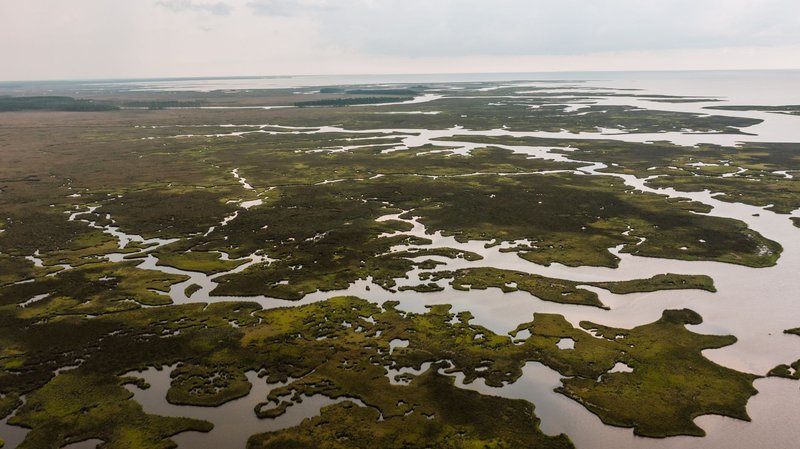
Mississippi sits on top of the Mississippi River Valley Alluvial Aquifer, a shallow layer of sand and gravel left behind as the river shifted course over thousands of years. It’s why a Delta farmer can drill a well 100 feet down and hit water instead of trucking it in. Groundwater accounts for close to 80% of the state’s freshwater use, and irrigation takes the biggest share of that — Delta row crops are thirsty, and center-pivot sprinklers run most of the summer.
The catch is that the aquifer is dropping in spots where irrigation has outpaced recharge for decades, which is part of why the state now requires metering on new agricultural wells. Farther east and south, the Mississippi Embayment and Gulf Coast aquifer systems, studied extensively by the USGS, cover the rest of the state, feeding everything from Jackson’s municipal supply to the shrimp docks in Biloxi.
Forests and Timber: The State’s Quiet Powerhouse
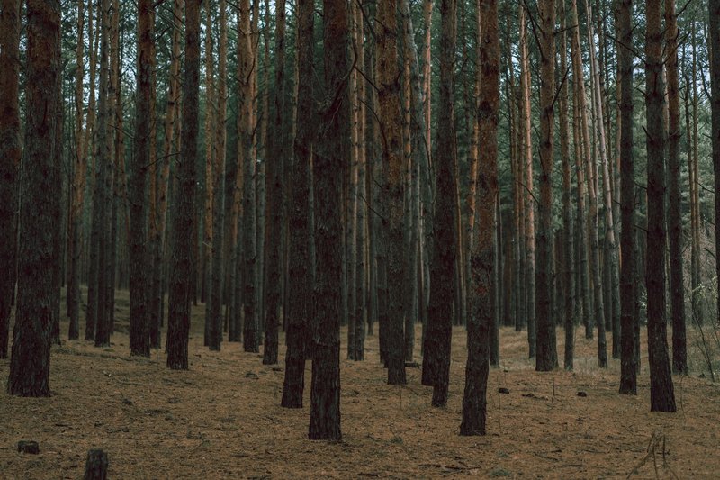
Sixty-two percent of Mississippi, close to 19 million acres, is forest, split between pine plantations and hardwood bottomland. That’s not incidental green space. It’s the raw material behind a forest products industry worth $15.4 billion a year and responsible for around 68,000 jobs, according to Mississippi State University Extension.
In 2024, forestry pushed past its usual runner-up rival to reclaim the No. 2 spot among the state’s agricultural commodities, trailing only poultry. Roughly three-quarters of that timberland belongs to private landowners, not timber companies, so the pine you drive past on a rural highway is as likely to belong to somebody’s grandfather as to a paper mill.
Pine dominates the piney woods of the south and southeast. Hardwood bottomland, the kind that floods every spring, runs along the Delta and the river bluffs. Cutting it for lumber costs wetland habitat along with board feet, which is why much of the state’s hardwood harvest now follows rotations that leave buffer strips along creeks and sloughs.
Oil, Gas, and the Volcano Under Jackson
Mississippi’s oil age began in 1939 at Tinsley Field in Yazoo County, the state’s first commercially viable well. Tinsley alone produced more than 224 million barrels of oil in the decades that followed, enough to qualify as a “giant” field by industry standards, and it’s still producing today, just not the way it used to.
What keeps it going is genuinely strange. Jackson Dome, an extinct volcanic structure buried under the state capital, holds one of the only significant natural carbon dioxide deposits east of the Mississippi River. Companies pipe that CO2 out to aging fields and inject it underground, where it loosens oil that conventional pumping left behind, sometimes pushing recovery up by as much as 60%. It’s an unusual arrangement: a volcano that went quiet millions of years ago is still paying dividends today.
Natural gas turns up alongside the oil in the same central and southwestern counties, along with smaller deposits of clay, sand, gravel, and salt that rarely make headlines but show up in drilling mud, construction material, and water softeners across the region.
Fertile Soil: Why the Delta Grows What It Grows
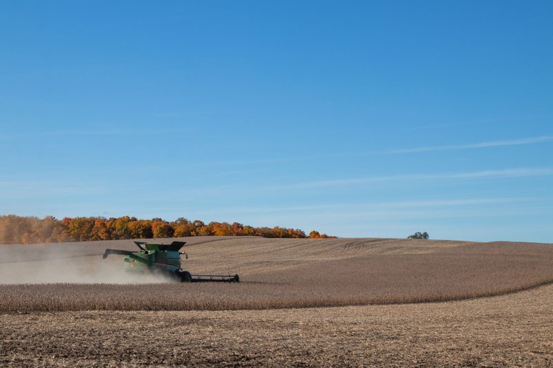
The Mississippi Delta isn’t a delta in the geological sense. It’s a flood basin, built over thousands of years as the river spilled its banks and dropped silt across the plain. That silt is why Delta soil can grow soybeans on the same acreage year after year without yields collapsing. Cotton built the region’s early economy on exactly this ground; soybeans do the heavier lifting now, bringing in close to $1.8 billion a year and trailing only poultry among the state’s top commodities.
South and east of the Delta, the ground changes character. Loess bluffs, wind-deposited soil that runs 30 feet deep in places like Vicksburg, hold enough fertility for row crops but erode fast once the cover gets stripped, a constant concern for hill-country farmers. The National Park Service’s overview of the Lower Delta region is a solid primer on how geology, not just farming choices, drew the line between cotton country and everything east of it.
Fisheries and Wildlife: Catfish, Ducks, and a Working Wetland
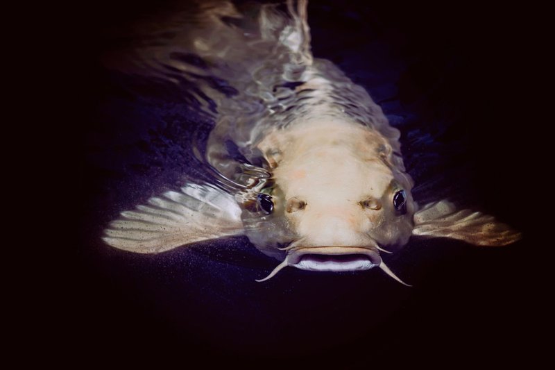
Mississippi raises more farmed catfish than any other state, and nearly all of it comes out of Delta ponds dug specifically for the job, not rivers or natural lakes. It’s an odd industry to picture: rows of rectangular ponds where farmers manage oxygen levels and feed schedules the way row-crop farmers manage irrigation. USDA data puts Mississippi at the top of the national aquaculture rankings for exactly this reason.
The wild side stays just as busy. The Delta’s remaining bottomland hardwood and wetland acreage sits on one of the continent’s major waterfowl flyways, which is why duck hunting is close to a religion in parts of the state every winter. Gulf Coast estuaries add shrimp, oysters, and blue crab to the tally — a smaller slice of the economy than catfish, but one that towns like Biloxi and Pascagoula have built entire identities around.
What’s Changing: Solar, Wetlands, and Pressure on the Delta
Two shifts are moving fast enough that any list of Mississippi’s resources needs an asterisk. Utility-scale solar has landed in the state’s flatter counties over the past few years, drawn by cheap land and reliable sun hours. It’s nowhere near timber revenue yet, but it’s become a real line item in state energy planning.
The other shift is less encouraging. The Delta’s wetlands, the same bottomland hardwood that filters runoff and hosts the duck flyway, keep losing acreage to drainage and conversion for row crops. Conservation groups and the same forestry economists who track timber values have flagged it as the resource most likely to be smaller in ten years than it is now, not because anyone’s mismanaging it on purpose, but because nobody’s specifically protecting it either.