
Tennessee’s natural resources are the forests, waters, minerals, wildlife, and soils that the state’s economy and ecosystems run on. Over half the land is wooded, the streams add up to tens of thousands of miles, and the Duck River holds more fish and mussel species than any other river in North America. The mineral story is older and stranger than most people expect. Here’s the full inventory, with current numbers and the problems attached to each resource.
| Resource | Quick fact |
|---|---|
| Forests | Over 50% of the state, about 14 million acres |
| Streams | 60,000+ miles |
| Lakes and reservoirs | 580,000+ acres |
| Impaired streams | 17,000+ miles |
| Coal, oil, and gas | Under 3% of 2018 mineral value ($44.8 million) |
| Biodiversity hotspots | Great Smoky Mountains, Duck River, Cumberland Plateau |
| Main managers | TDEC, TWRA, Tennessee Geological Survey, UT Extension |
Contents
- Forests
- Water
- Minerals and energy
- Wildlife and biodiversity
- Soils and farmland
- Three grand divisions, three resource profiles
- Threats
- Who manages what
- Summary: what Tennessee’s natural resources add up to
Forests
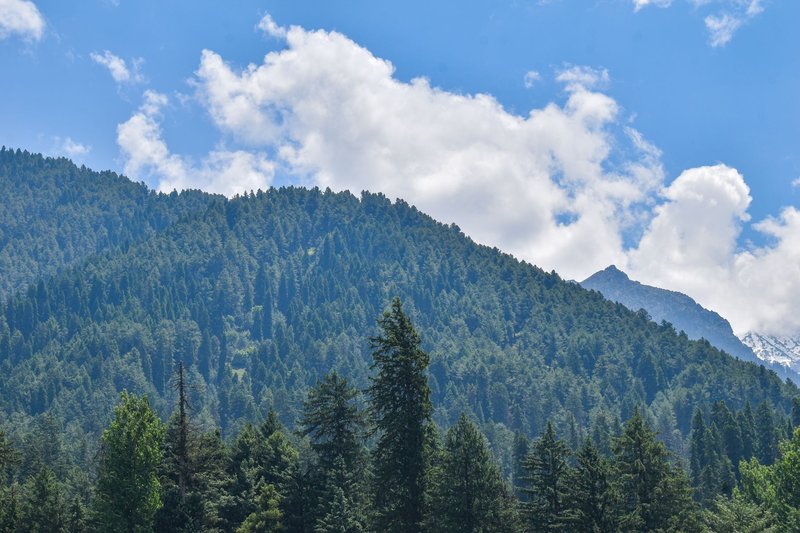
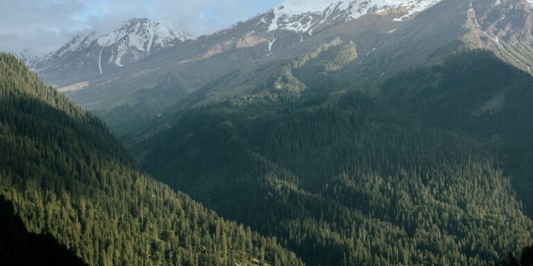
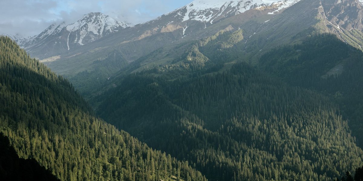
Forests cover more than half of Tennessee, roughly 14 million acres. Most of that is hardwood: oak and hickory on the ridges and plateaus, tulip poplar and maple in the coves, with pine mixed in across the Cumberland Plateau and the Highland Rim.
The standout is the Great Smoky Mountains. The National Park Service counts more than 100 native tree species in the park, which is more than you’ll find in all of northern Europe. Old-growth stands survive in the high coves, and the spruce-fir forest on the summits is a southern remnant of the boreal forest that covered the region during the last ice age.
Forests also pay their way. Timber, furniture, and pulp and paper make wood products a steady manufacturing sector, and private owners hold most of the forestland. The state’s tourism industry leans on the same trees: fall color brings visitors to the Smokies, and the park is the most visited national park in the country.
Water
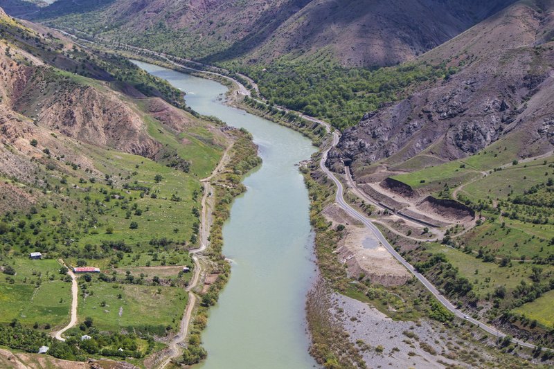
Tennessee has more than 60,000 miles of streams and over 580,000 acres of lakes and reservoirs. Most of the reservoirs aren’t natural. The Tennessee Valley Authority dammed the Tennessee River and its tributaries starting in the 1930s, and the Cumberland River got its own dams through the Army Corps of Engineers. That’s why a state with almost no large natural lakes has so much open water.
Reelfoot Lake in the northwest corner is the exception. It formed after the 1811-12 New Madrid earthquakes caused the land to sink and the Mississippi to flow backward into the depression.
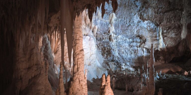
Groundwater matters as much as surface water. The limestone beneath Middle and East Tennessee is full of caves, sinkholes, and springs. Documented caves number over 10,000, and the same porous rock that makes them also lets contamination move quickly into aquifers. West Tennessee draws much of its drinking water from the deep Memphis Sand aquifer.
The Duck River, which runs through Middle Tennessee, is the biodiversity headline. The Nature Conservancy ranks it among the most species-rich rivers on the continent for fish and freshwater mussels. The Buffalo and Duck rivers have also been brought into the state’s Scenic Rivers program, a designation that restricts new dams and in-stream development.
Minerals and energy
Tennessee once mined more kinds of minerals than any eastern state except North Carolina. The list includes zinc, copper, coal, limestone, marble, phosphate, clay, sand and gravel, and more.
Crushed stone and limestone are the volume leaders, quarried across Middle and East Tennessee for roads, concrete, and cement. Zinc is the state’s metal specialty. The zinc mines of Middle and East Tennessee have made it one of the leading zinc producers in the country.
Copper tells the cautionary half of the story. Around Ducktown, in the southeast corner, mining and smelting through the late 1800s and early 1900s released sulfur fumes that stripped thousands of acres bare. The “Copper Basin” is now largely replanted, but the red gullies are still visible from the air.
Fossil fuels play a smaller role than the state’s coal history implies. Coal, oil, and gas made up under 3% of Tennessee’s 2018 mineral value, about $44.8 million. Coal comes from the Cumberland Plateau in the northeast, and small oil and gas fields sit in the northern Cumberland counties. Tennessee’s biggest energy asset isn’t buried: it’s hydropower from the TVA dam system, plus the nuclear research legacy at Oak Ridge.
The Tennessee Geological Survey tracks the mineral industry and publishes the state’s geologic maps. For the state’s geology as a traveler sees it, the Roadside Geology series covers Tennessee along with every other state.
Wildlife and biodiversity
Tennessee sits where the Appalachians, the Interior Highlands, and the Mississippi Embayment meet, and its rivers never froze solid during the ice ages. Both facts explain the species count. It’s a global hotspot for salamanders, with the Smokies alone supporting around 30 species, and its streams hold hundreds of fish and mussel species.
The eastern hellbender, a foot-and-a-half-long aquatic salamander, lives in clean, cool, rocky streams. Where hellbenders persist, the water is healthy. Where they’ve vanished, silt or pollution usually explains it.
Game species are a managed resource too. White-tailed deer and wild turkey are both restocking success stories: each was scarce in the early 1900s and is now abundant after decades of regulated hunting and habitat management. Black bears live in the mountains and have been expanding westward.
The 2025 State Wildlife Action Plan, the state’s blueprint for species at risk, sets the priorities for TWRA and its conservation partners. The plan covers species that aren’t hunted or fished, which is where most of the state’s imperiled wildlife falls.
Soils and farmland
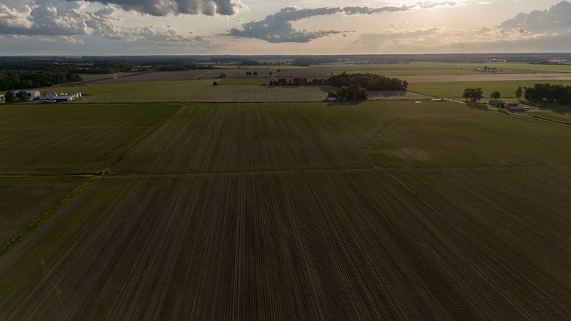
Soil is the resource nobody photographs. Tennessee has about 10 million acres of farmland, and the quality of that land changes sharply from one end of the state to the other.
West Tennessee has deep, wind-deposited loess soils along the Mississippi bluffs, which are fertile and also highly erodible. Cotton, soybeans, and corn dominate. The Nashville Basin in Middle Tennessee has phosphate-rich limestone soils suited to pasture, hay, and horses (the Tennessee Walking Horse comes from here). East Tennessee’s Ridge and Valley country has narrower bottomlands, with cattle, tobacco, and hay on the steeper ground.
UT Extension works with landowners on soil testing, erosion control, and forestry. Cattle and hay are the most widespread farm products across the state.
Three grand divisions, three resource profiles
Tennessee’s traditional regions split fairly cleanly by resource:
- East Tennessee: mountains, the Smokies, most of the old-growth forest, zinc and marble, TVA reservoirs, and the highest salamander diversity.
- Middle Tennessee: limestone and caves, the Duck River, the Nashville Basin pastures, phosphate history, and most of the state’s springs.
- West Tennessee: Mississippi River bottomland, loess farmland, Reelfoot Lake, the Memphis Sand aquifer, and bottomland hardwood forest.
The pattern follows the geology. Older, harder rock in the east gives mountains and metals. Limestone in the middle gives caves and water. Younger, softer sediment in the west gives soil.
Threats
The numbers on pollution are less comfortable than the numbers on abundance. More than 17,000 miles of Tennessee streams are classified as impaired, meaning they don’t meet water quality standards for at least one use such as swimming, fishing, or drinking. The usual causes are sediment from construction and farm runoff, nutrients, and bacteria.
Habitat loss follows development. Suburban sprawl around Nashville, Knoxville, and Memphis converts forest and farmland, and fragmented forest is worse habitat than the same acreage in one piece. Invasive species add to the pressure. Hemlock woolly adelgid has killed large numbers of eastern hemlocks in the Smokies, and emerald ash borer is killing ash trees statewide. Kudzu, privet, and Asian carp all cause damage to the landscape and the rivers.
Who manages what
- Tennessee Department of Environment and Conservation (TDEC): water quality, air, state parks, and natural areas.
- Tennessee Wildlife Resources Agency (TWRA): wildlife, hunting and fishing regulation, and the State Wildlife Action Plan.
- Tennessee Geological Survey (under TDEC): geologic mapping and mineral data.
- Tennessee Department of Agriculture, Division of Forestry: wildfire control and forest management.
- UT Extension: advice to farmers, foresters, and landowners.
- National Park Service and U.S. Forest Service: the Smokies, Cherokee National Forest, and other federal land.
Residents have real options. Landowners can get a forest management plan through the state forestry division and a soil test through their county Extension office. Anyone can report water pollution to TDEC, join a stream cleanup, keep native plants in the yard, and buy hunting and fishing licenses, since license revenue funds a large share of TWRA’s wildlife work.
Summary: what Tennessee’s natural resources add up to
Tennessee’s natural resources are mostly living ones. Forests cover over half the state, reservoirs and rivers supply water and power, and the soils feed three distinct farming regions. Minerals shaped the state’s history, but fossil fuels are now a small share of what comes out of the ground. The strengths are real, from the Smokies’ tree diversity to the Duck River’s mussels, and the weaknesses are measurable: 17,000 impaired stream miles, shrinking habitat, and invasive species. The state’s agencies manage the resources, and landowners and residents control more of the outcome than most of them realize.