
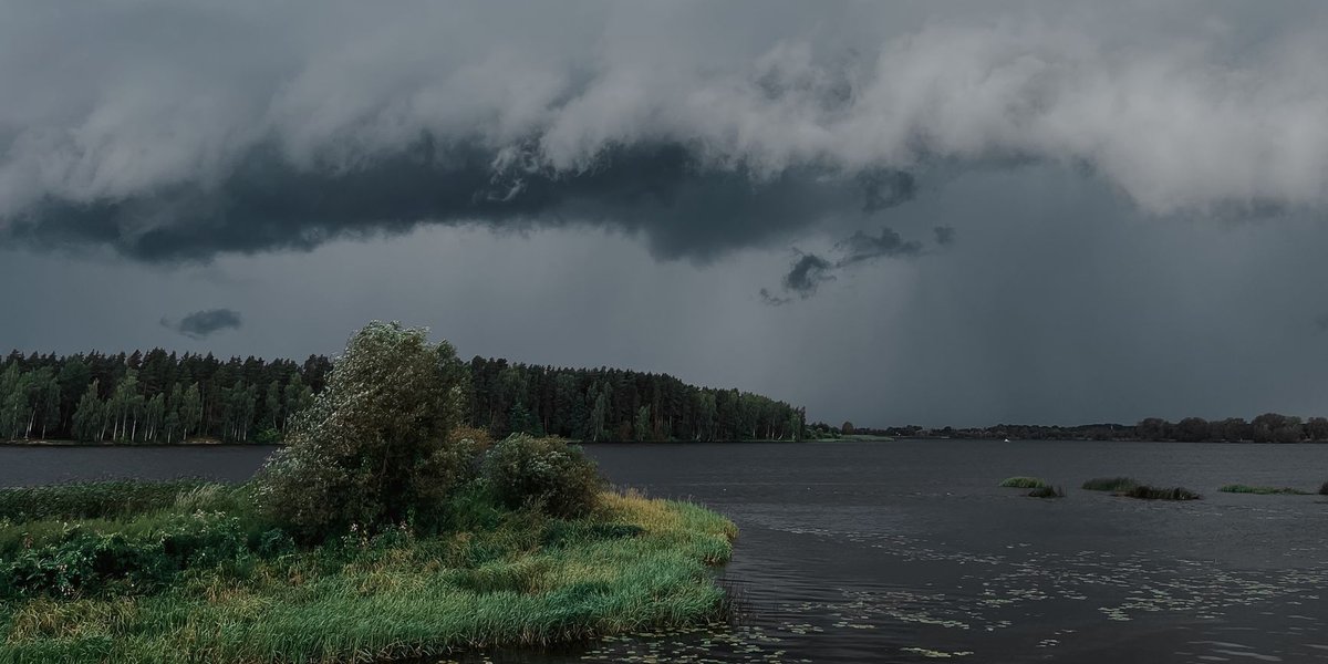
A weather phenomenon is any observable event in the atmosphere over a short span of time: a rain shower, a tornado, a halo around the Moon. “Short” means minutes to days. That’s the dividing line from climate, which is the average of weather over roughly 30 years. A blizzard is weather. A region that gets blizzards every winter has a snowy climate.
Most lists of weather phenomena either give you a flat glossary or a pile of “weird” photos with no explanation. This guide sorts everything by cause, so you can see why a halo and a sun dog come from the same ice crystals, and why a derecho and a tornado are different animals.
Contents
- Precipitation
- Wind and storms
- Optical effects
- Electrical effects
- Cloud oddities
- Summary table
- What to do when it turns severe
- FAQ
Precipitation
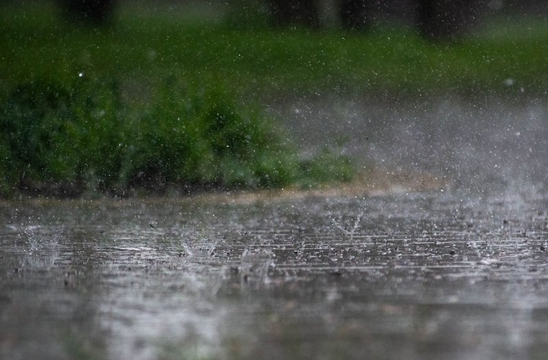
Precipitation is water falling from clouds in liquid or solid form. The type depends on the temperature profile between the cloud and the ground.
Rain and drizzle. Raindrops are 0.5 mm or wider. Anything smaller is drizzle, which falls from low stratus clouds and barely registers on a gauge. Heavy rain comes from tall cumulonimbus clouds, where updrafts keep growing droplets until they’re too heavy to stay up.
Snow. Ice crystals that grow in cold cloud and reach the ground without melting. Each flake is a cluster of crystals, which is why the “no two alike” claim is hard to test but plausible.
Sleet and freezing rain. They sound similar and behave very differently. Sleet is rain that refroze into ice pellets on the way down, and it bounces. Freezing rain is liquid water that falls through a shallow freezing layer at the surface, stays supercooled, and freezes on contact. A quarter inch of it on power lines is enough to bring them down.
Hail. Lumps of ice formed when strong thunderstorm updrafts carry raindrops repeatedly above the freezing level, adding a layer of ice each trip. The National Weather Service classifies hail as severe at 1 inch (25 mm) across, about the size of a quarter. The US record is an 8-inch stone that fell in Vivian, South Dakota, in 2010, weighing nearly 2 pounds.
Fog. Technically a cloud on the ground, and it’s not precipitation at all. Fog is defined as visibility below 1 km (about 5/8 of a mile). Above that, with visibility up to 5 km, it’s mist. Radiation fog forms on clear, calm nights when the ground cools the air to its dew point, which is why it pools in valleys at dawn.
Wind and storms
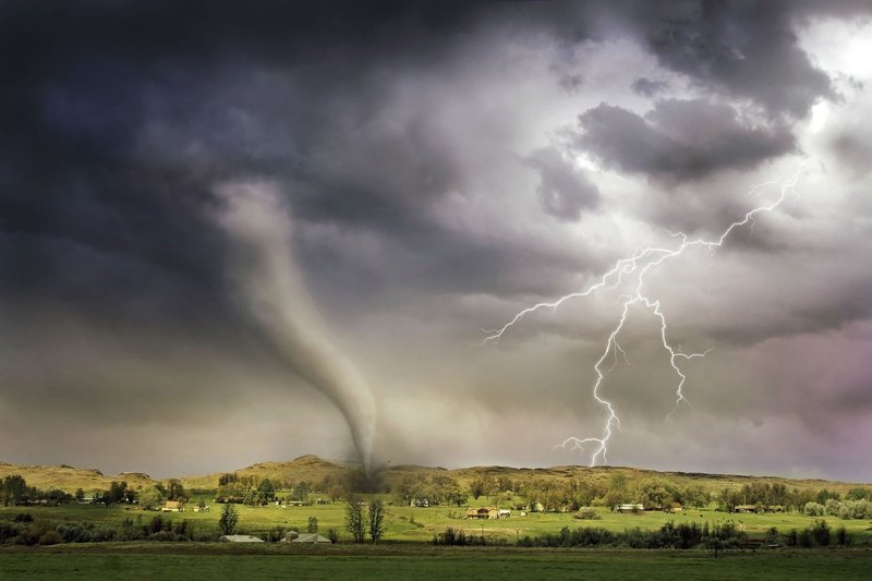
Thunderstorms. Each one needs moisture, unstable air, and a trigger such as a front or heated ground. A storm becomes “severe” in US terms when it produces hail of 1 inch or larger, winds of 58 mph (93 km/h) or more, or a tornado.
Tornadoes. A rotating column of air in contact with both a thunderstorm and the ground. They’re rated on the Enhanced Fujita scale from EF0 (65 to 85 mph winds) to EF5 (over 200 mph). Most are weak and short-lived. The rare violent ones account for most of the deaths.
Derechos. A derecho is a long-lived windstorm from a line of thunderstorms, with no rotating funnel. The Storm Prediction Center’s derecho criteria require a damage swath at least 240 miles (400 km) long, with gusts of at least 58 mph along most of it. The June 2012 derecho ran from Illinois to the Mid-Atlantic coast and left millions without power.
Waterspouts. Tornado-like vortices over water. Fair-weather waterspouts, common in the Florida Keys, form under growing cumulus clouds and are much weaker than their land counterparts.
Dust devils. Small whirlwinds that form when the ground heats the air above it unevenly on a hot, clear day. There’s no parent storm cloud. They’re typically tens of meters wide, and similar ones on Mars have been photographed from orbit.
Haboobs. Walls of dust pushed out ahead of a thunderstorm’s outflow. Phoenix and the Sahel get them regularly, and a big one can rise over a mile high.
Fire whirls. A wildfire’s heat creates a rotating column of flame and ash. They’re rare, and dangerous because they can throw burning debris well beyond the fire line.
Optical effects
Light interacting with water droplets and ice crystals produces the most photogenic weather phenomena, and each has a fixed geometry you can use to predict where to look.
Rainbows. Sunlight refracts into a droplet, reflects off the back, and exits at an angle, splitting by wavelength. The bow appears about 42 degrees from the antisolar point (the spot directly opposite the Sun), so you need the Sun behind you and rain in front. A fainter secondary bow sits outside the first, with its colors reversed.
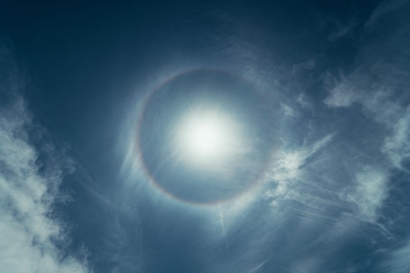
Halos. A 22-degree ring around the Sun or Moon, caused by hexagonal ice crystals in high cirrus or cirrostratus cloud. A halo often shows up 12 to 24 hours ahead of an approaching warm front, which is the origin of the folk rule that a ring around the Moon means rain.
Sun dogs. Bright spots 22 degrees to the left and right of the Sun, produced by plate-shaped ice crystals that drift down flat. Best seen when the Sun is low. The inner edge is red.
Green flash. A brief green rim or spot at the top of the Sun at sunset or sunrise. The atmosphere bends green light slightly more than red, and under the right conditions, usually over a flat sea horizon, it lasts one or two seconds.
Fogbows. White, almost colorless rainbows. Fog droplets are so small that diffraction blurs the colors together.
Crepuscular rays. Beams of light that appear to fan out from the Sun through gaps in cloud. They’re parallel in reality. Perspective makes them look like they diverge.
Electrical effects
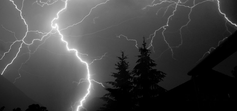
Lightning. A discharge between charged regions of a cloud or between cloud and ground. The channel heats the air to around 30,000 °C, several times hotter than the Sun’s surface, and the sudden expansion is thunder. The National Weather Service’s lightning safety guidance is blunt: if you can hear thunder, you’re close enough to be struck.
Sprites and jets. Red or blue flashes that shoot upward from the tops of thunderstorms into the mesosphere, around 50 to 90 km up. They last milliseconds and were first filmed in 1989. You need a dark sky, a distant storm, and a camera. Airline pilots and astronauts have reported them too.
St. Elmo’s fire. A blue-violet glow of plasma at pointed objects, like ship masts and aircraft wingtips, when the electric field is strong enough to ionize the air. It’s a corona discharge, not combustion.
Ball lightning. Glowing spheres reported for centuries, lasting a few seconds. It’s the least understood entry on this list. A 2012 field recording in China captured a spectrum from a luminous ball after a lightning strike, but one observation doesn’t settle the mechanism.
Cloud oddities
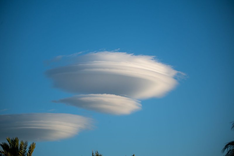
Clouds are classified by the World Meteorological Organization’s International Cloud Atlas by shape and altitude, and a few shapes carry a lot of information about the air around them.
Lenticular clouds. Smooth, lens-shaped clouds that sit still over mountains. Wind forces air up and over the peak, creating a standing wave, and a cloud forms at the crest where the air is cool enough to condense, then evaporates on the downslope. The air moves through the cloud while the cloud stays put. Pilots avoid them because of the turbulence downwind.
Mammatus. Pouches hanging from the underside of an anvil cloud. They aren’t a tornado signal, despite the old myth. They form when cold, saturated air sinks in lobes from the cloud base, and they tend to show up after the worst of a storm passes.
Kelvin-Helmholtz clouds. Rows of breaking-wave shapes that form where two air layers move at different speeds. Wind shear rolls the boundary up like surf. They last a minute or two before the shear tears them apart.
Shelf and roll clouds. Low, horizontal arcs at the leading edge of a storm’s cold outflow. A roll cloud detaches completely and looks like a tube rolling across the sky. The Morning Glory cloud in northern Australia’s Gulf of Carpentaria is the best-known example, appearing in spring.
Virga. Rain that evaporates before it reaches the ground, leaving streaks hanging under a cloud. Common in deserts, where the lower air is dry.
Snow rollers. Not a cloud, but a good curiosity. On a day when wet snow lies on the ground, wind can roll a lump along until it forms a cylinder, sometimes hollow in the middle like a donut. It needs the right snow, a light wind, and a slope.
Summary table
| Phenomenon | Main cause | Rarity | Danger |
|---|---|---|---|
| Rain, drizzle | Condensation in clouds | Very common | Low |
| Freezing rain | Rain freezing on contact | Seasonal | High (ice storms) |
| Hail | Updrafts cycling ice in storms | Common in storm season | Moderate to high |
| Fog | Air cooled to its dew point | Common | Moderate (visibility) |
| Tornado | Rotating thunderstorm | Uncommon | Very high |
| Derecho | Line of thunderstorms | Rare | High |
| Dust devil | Ground heating | Common in dry areas | Low |
| Rainbow | Refraction in raindrops | Common | None |
| Halo, sun dog | Refraction in ice crystals | Fairly common | None |
| Green flash | Atmospheric refraction | Rare | None |
| Lightning | Charge separation in clouds | Very common | High |
| Sprite | Discharge above storms | Rare to see | None on the ground |
| Ball lightning | Unknown | Very rare | Unknown |
| Lenticular cloud | Mountain standing waves | Common near mountains | None (turbulence for aircraft) |
| Mammatus | Sinking air from anvil base | Uncommon | None directly |
| Kelvin-Helmholtz | Wind shear | Rare to see | None |
What to do when it turns severe
Most of the phenomena above are harmless to watch. Four are not.
- Lightning: Go indoors or into a hard-topped vehicle, and wait 30 minutes after the last thunder.
- Tornado: Move to the lowest interior room, away from windows. A highway overpass is not shelter.
- Flooding: Never drive through moving water. The National Weather Service’s Turn Around, Don’t Drown campaign exists because a foot of moving water can float many vehicles.
- Freezing rain: Stay off the road. Ice you can’t see is the problem, and salt stops working at very low temperatures.
Timing matters too. Tornadoes and hail cluster in spring in the US Plains. Fog peaks in autumn and winter nights. Dust devils want hot afternoons, and halos want thin cirrus clouds that drift in ahead of a front.
FAQ
What is the difference between weather and climate? Weather is the state of the atmosphere at a given time and place. Climate is the long-term average, usually over 30 years.
What are the main types of weather phenomena? Meteorologists group them as precipitation, wind and storms, optical effects, electrical effects, and obscurations such as fog and haze.
What is the rarest weather phenomenon? Ball lightning has the weakest documentation. Among confirmed events, sprites and the green flash are hard to catch because they last seconds or less.
Which weather phenomena are most dangerous? Tornadoes, lightning, flash floods, and ice storms cause the most deaths and damage. Derechos and large hail do the most property damage on the US Plains.
Which weather phenomena can children see most easily? Rainbows, fog, rain, snow, and halos need no equipment. Sun dogs show up on cold mornings and evenings when the Sun is low.