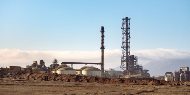

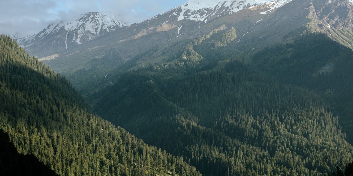
British Columbia’s natural resources come down to five things: timber, minerals, energy, fish and a thin slice of farmland. Each one sits in a different part of a province that’s bigger than France and Germany combined, and most of the interesting arguments about BC (jobs, pipelines, old-growth logging, who owns the land) start with one of them.
This guide goes resource by resource, with a map in words and the numbers that matter.
Contents
- The short answer
- Forestry: the original BC industry
- Mining: copper, coal and the critical minerals push
- Energy: hydro first, gas second
- Fisheries: salmon and the rivers that make them
- Agriculture: scarce land, protected hard
- Natural resources in British Columbia, region by region
- The trade-offs: title, assessment and Site C
The short answer
TLDR: BC’s biggest natural resources are forests (about 44.4 million hectares are certified as sustainably managed), minerals (18 major mines operating, led by copper and steelmaking coal), energy (hydroelectricity supplies most of the province’s power, and the northeast holds roughly 91.8 trillion cubic feet of natural gas reserves), Pacific salmon and other seafood, and a small, heavily protected agricultural base.
| Resource | Main regions | Scale |
|---|---|---|
| Forestry | Coast, Interior, North | About 44.4 million hectares certified; lumber, pulp and mass timber |
| Mining | Southeast, Southern Interior, Northwest | 18 operating major mines; copper, gold, steelmaking coal, molybdenum |
| Hydroelectricity | Peace River, Columbia River basin | Peace and Columbia dams produce most of BC Hydro’s power |
| Natural gas | Northeast (Montney, Horn River), Kitimat export terminal | About 91.8 trillion cubic feet of reserves; LNG Canada export terminal |
| Fisheries | Fraser, Skeena, coastal waters | Five Pacific salmon species, herring, halibut, shellfish, farmed salmon |
| Agriculture | Okanagan, Fraser Valley, Peace region | About 5% of the province is in the Agricultural Land Reserve |
Forestry: the original BC industry
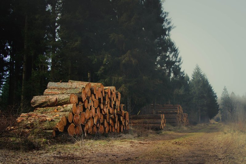
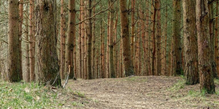
Forests cover more than half of the province. The coast grows Douglas-fir, western red cedar, western hemlock and Sitka spruce, some of the largest conifers on Earth. The Interior is a different forest entirely: lodgepole pine, spruce and subalpine fir on drier, colder ground. Coastal wood is slow-grown, high-value and often old. Interior wood is more uniform and feeds the big lumber mills of Prince George, Quesnel and Williams Lake.
Close to 95% of BC’s forest land is public, held by the Crown. Companies don’t own the trees. They hold tenures, which are licences to harvest under government rules. That’s why forestry policy in BC is political in a way it isn’t in, say, the southeastern United States, where private timberland dominates.
The industry also carries a scar. A mountain pine beetle epidemic, fueled by warmer winters and a huge stand of mature lodgepole pine, killed most of the merchantable pine across large parts of the central Interior between the late 1990s and the early 2010s. Mills scaled up to salvage the dead wood, then ran short once it was gone. Several have closed since. Wildfire seasons that now burn hundreds of thousands of hectares add to the squeeze, and so do softwood lumber duties imposed by the United States. Natural Resources Canada tracks national forest data if you want the long-run numbers.
The newer story is old growth. The province has deferred logging in several areas of at-risk old-growth forest, often with First Nations agreement, and the harvest is steadily shifting toward second-growth timber and value-added products.
Mining: copper, coal and the critical minerals push
BC’s mining history starts with the 1858 Fraser River gold rush and the Cariboo boom that followed. Gold is still mined, but today the money is in other metals, and a full survey of BC’s mineral deposits lays out which ones matter most.
Copper is the anchor. Highland Valley Copper, near Logan Lake in the Southern Interior, is Canada’s largest copper mine. In the northwest, Red Chris produces copper and gold from a porphyry deposit, and the Golden Triangle around Stewart and Eskay Creek holds some of the richest undeveloped precious-metal ground in the country.
The southeast corner is coal country, but not the kind that fuels power plants. The Elk Valley near Fernie and Sparwood produces metallurgical coal, the carbon source that steelmakers need to turn iron ore into steel. It’s a major export to Asia, and it’s also one of the most disputed parts of BC mining because of selenium leaching into the Elk River watershed.
Then there are the minerals that clean-energy supply chains need. Copper, nickel, graphite and others appear on Canada’s critical minerals list, and BC has deposits of several. Exploration is rising. Few of these projects are close to production, though, and each has to clear an environmental assessment and negotiate with the First Nations whose territory it sits on.
Energy: hydro first, gas second
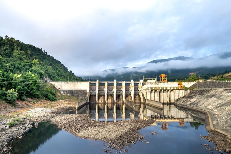
Most of BC’s electricity is hydro, and most of that comes from two rivers.
The Peace River in the northeast carries the W.A.C. Bennett Dam, the Peace Canyon Dam and, since the mid-2020s, the Site C dam. The Columbia River in the southeast carries Mica, Revelstoke and Keenleyside, built under the 1964 Columbia River Treaty with the United States. Together these plants make BC’s grid one of the lowest-carbon in North America, which is why the province’s real climate problem is transportation and natural gas, not electricity.
The gas sits in the northeast. The Montney formation, a thick layer of tight rock straddling the BC-Alberta border, is one of the most productive gas plays in North America, and it’s why the province’s reserves are counted in the tens of trillions of cubic feet. Producers crack the rock with horizontal drilling and hydraulic fracturing, and the gas moves west through the 670-kilometre Coastal GasLink pipeline to Kitimat on the north coast.
That’s where LNG Canada liquefies it for ship export to Asia. Kitimat sits on a deep fjord, and the sailing distance to Asian ports is shorter than from the US Gulf Coast. That geography is the whole pitch. Other LNG terminals have been proposed along the same coast, with varying odds.
Fisheries: salmon and the rivers that make them
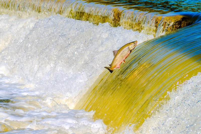
Five species of Pacific salmon return to BC rivers: chinook, coho, sockeye, pink and chum. The Fraser River is the biggest salmon system in the province, and its sockeye runs can reach tens of millions of fish in a strong year. The Skeena, which drains a huge part of northwestern BC, is among the largest salmon producers in Canada and still has runs that don’t depend on hatcheries.
Salmon matter far beyond the dock. They’re a food source and cultural foundation for coastal and Interior First Nations, and their carcasses feed bears, eagles and the trees themselves: nitrogen from spawning fish shows up in the growth rings of streamside cedar.
Many runs are in trouble. Warming rivers, habitat loss, overfishing in past decades and landslides such as the 2019 Big Bar slide on the Fraser have cut returns. Open-net salmon farms, mostly Atlantic salmon raised in coastal pens, remain contested because of disease risk to wild fish, and Ottawa has announced plans to phase them out of BC waters.
Beyond salmon, BC commercial fisheries land herring, halibut, sablefish, groundfish, crab and prawns, and the aquaculture sector grows shellfish such as oysters and clams.
Agriculture: scarce land, protected hard
Only a small share of BC is good farmland. Mountains, rock and forest cover most of the province, so the arable land is concentrated in the Fraser Valley (dairy, poultry, berries), the Okanagan and Similkameen valleys (tree fruit and vineyards) and the Peace River region (grain and canola).
Since 1973, the Agricultural Land Reserve has protected this land from being paved over. It covers roughly 4.6 million hectares, about 5% of the province, and developers have fought it for fifty years. Without it, the Fraser Valley would look a lot more like suburban Los Angeles.
Natural resources in British Columbia, region by region
A quick way to hold the whole province in your head:
- Coast and Vancouver Island: Old-growth and second-growth forests, commercial and Indigenous fisheries, aquaculture, and the Kitimat LNG terminal on the north coast.
- Southern Interior (Okanagan, Thompson): Orchards and vineyards, the Highland Valley copper mine, and cattle ranching on dry grassland.
- Kootenays and the Southeast: Elk Valley coal, Columbia River dams, and zinc and lead mining history around Trail and Kimberley.
- Central and Northern Interior: The pine-beetle-hit lumber belt, Prince George and Quesnel mills, and the Cariboo goldfields.
- Northwest: The Skeena salmon system and the Golden Triangle’s gold and copper deposits.
- Northeast (Peace region): Montney natural gas, Peace River dams and Site C, and prairie-style grain farming.
For the government’s own overview of how these resources are managed, see the BC natural resource stewardship page. The Canadian Encyclopedia gives a good historical summary.
The trade-offs: title, assessment and Site C
Every one of these resources is extracted from land that was never ceded by treaty in most of the province. Outside the northeast (Treaty 8) and a few modern treaties, Indigenous nations never signed away their territory. That’s why the courts matter. In 1997 the Supreme Court of Canada’s Delgamuukw decision confirmed that Aboriginal title survives in BC. In 2014 the Tsilhqot’in decision declared title over roughly 1,750 square kilometres in the Interior, the first time a Canadian court did so. BC then passed the Declaration on the Rights of Indigenous Peoples Act in 2019, committing to align provincial law with the UN declaration.
In practice, this means a mine, pipeline or logging plan needs more than a permit. It needs an environmental assessment under the provincial Environmental Assessment Act, and consultation, and increasingly the consent of the nations affected. Some projects get partnership deals and equity stakes. Others stall.
Site C is the clearest test case. The Site C dam on the Peace River adds about 1,100 megawatts, enough to power several hundred thousand homes. It also floods around 100 kilometres of river valley, including farmland and sites used by Treaty 8 nations, some of which challenged the project in court. Supporters pointed to clean power for a growing province. Opponents pointed to lost farmland and unmet treaty obligations. The dam went ahead, and the cost climbed far above its original estimate.
The pattern holds across the province. A resource that looks simple on a map (trees, ore, gas, fish) comes with a competing claim, a cost or a limit. The question BC keeps answering is how much of each to take, and who gets to decide.