

TLDR
- Rhode Island has no show caves. No tours, no ticket booth, no lighting.
- The natural caves are small: sea caves on Narragansett Bay, boulder caves at inland ledges, and a few crevices in granite.
- The easiest to visit are Lighthouse Cave at Beavertail State Park and the Queen’s Fort site in Exeter. Both are free to reach and need no gear beyond decent shoes.
- Tide and swell decide whether the sea caves are safe. Check the forecast before you go.
- Some of the best-known names (Deadman’s Cave, the Copper Hill mine) are blocked, abandoned or on land you can’t just walk onto.
Table of Contents
- Why Rhode Island has so few caves
- Lighthouse Cave at Beavertail State Park
- Pirate Cave in Newport
- Dinosaur Caves on the Connecticut border
- Queen’s Fort and the Queen’s Bed Chamber in Exeter
- Crystal Cave in Bristol
- Deadman’s Cave in Cranston
- The Copper Hill mine in Cumberland
- The Counterfeiters Den legend
- Rhode Island caves compared
- The “salt cave” in Rhode Island is not a cave
- Safety, tides and permission
- Where to go for a bigger cave
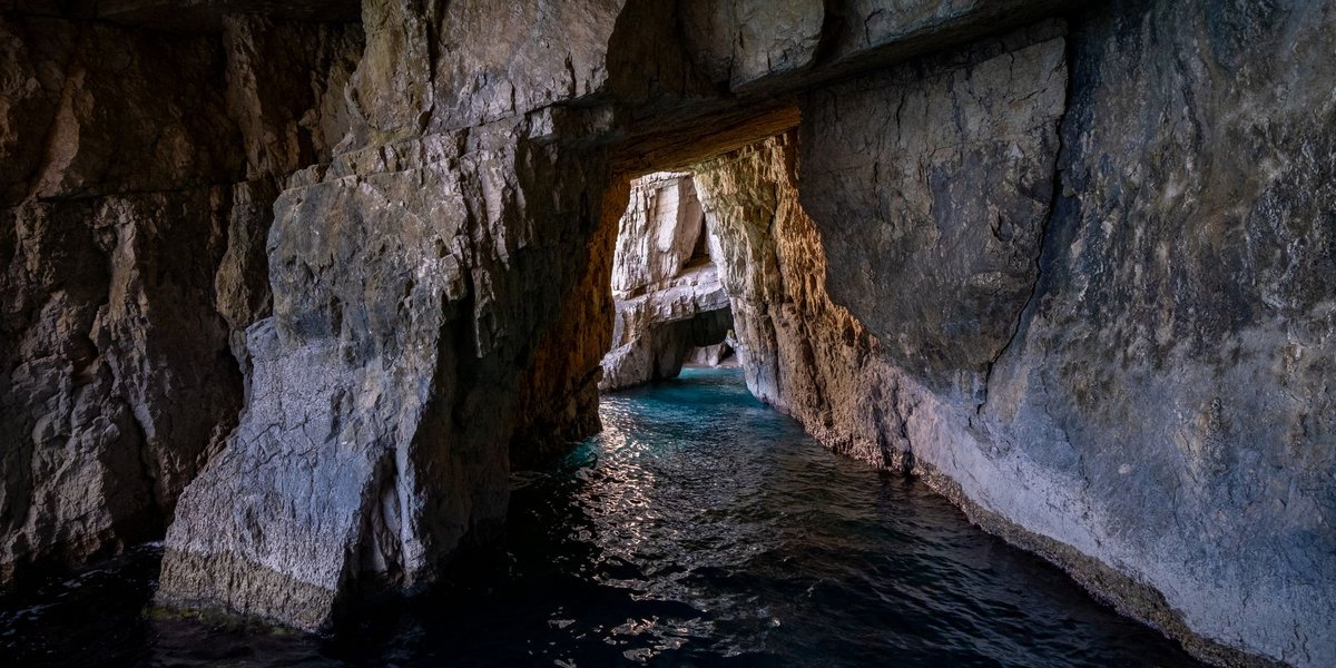
Caves in Rhode Island exist, but they are not the kind you’re picturing. There are no stalactite halls and no guided boat rides underground. Cavers who track the state count roughly 30 caves, about half of them natural, and most are barely big enough to turn around in. What you get instead is a short list of sea caves, boulder piles, granite clefts and old mine workings, each with its own access problem.
Why Rhode Island has so few caves
Big caves form in soluble rock, mainly limestone, where slightly acidic groundwater dissolves passages over hundreds of thousands of years. Rhode Island’s bedrock is the wrong material. It’s granite, gneiss and tough metamorphosed sediment, none of which dissolves in any useful way.
Then the glaciers scraped across the state during the last ice age, stripping soil and loose rock and leaving boulders scattered over the ledges. That’s why the state’s caves fall into a few types:
- Sea caves, cut by waves exploiting cracks in coastal rock.
- Talus and boulder caves, gaps between fallen or glacially dumped blocks.
- Crevice caves, where granite split along a joint.
- Mines, which are human-made and not caves in the geological sense.
The National Speleological Society is the group that organizes American cavers if you want to go further, and its local grottos are the proper route to anything underground that’s off the public trail.
Lighthouse Cave at Beavertail State Park
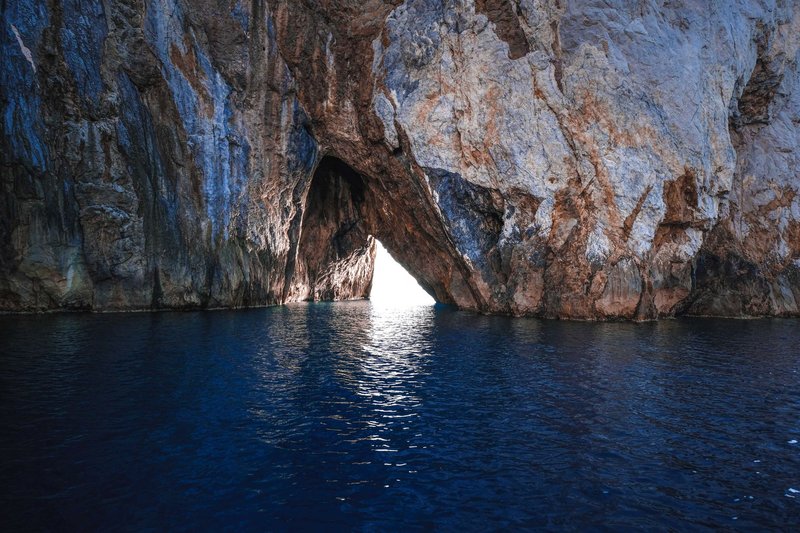
Lighthouse Cave is the most reachable natural cave in the state. It sits on the rocky shoreline of Beavertail State Park at the southern tip of Jamestown, on Conanicut Island, and it’s a natural through-cave, meaning you can see daylight from the other end.
Type: sea cave. Getting there: Take Route 138 to Jamestown, follow Conanicus Avenue through the village, and continue south to the park. The park is open sunrise to sunset and admission and parking are free. Walk the rocky shoreline near the lighthouse; the cave is down on the ledges, not on a marked trail. Difficulty: easy scrambling over wet, uneven rock. Not stroller or wheelchair territory. Best time: low tide on a calm day. At high tide or in a swell, the approach is under water or under spray. Status: public state park land.
The rocks here are slick with algae and barnacles, and the tide pools exposed at low water are a bonus. Waves on this point are dramatic in bad weather, so skip it if the ocean looks lively.
Pirate Cave in Newport
Pirate Cave is a small sea cave on the Newport coast. The coordinates listed by cave databases put it near the Ocean Drive end of town, around Brenton Point. The name comes with the usual pirate-treasure stories, none of which are documented.
Type: sea cave. Size: short. One catalogue gives about 10 meters in length, another describes a mouth roughly 30 feet wide narrowing to something about 15 feet deep. Either way, this is a cleft in a cliff, not a passage. How hard to enter: the cave isn’t the problem. The surf is. Waves reportedly strike the back wall hard enough to fill it to the ceiling. Best time: low tide, calm sea, daylight. Look from the rocks. Don’t go inside in anything but flat water. Status: it’s on the shoreline, so confirm the land you cross to reach it is public before you set out.
Dinosaur Caves on the Connecticut border
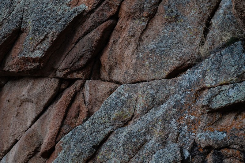
Despite the name, nothing here has to do with dinosaurs. The name belongs to a pair of deep crevices in granite ledges almost exactly on the Rhode Island and Connecticut line, in the woods between the Yawgoog Scout Reservation on the Rhode Island side and Pachaug State Forest in Connecticut.
A 2010 caving log from the area describes the upper cave as being in Rhode Island, by about twenty feet. Early GPS readings had placed it in Connecticut, and detailed aerial photography settled it.
Type: crevice cave in granite. How hard to enter: hard. Warwick caver Michael Girard has written in Northeastern Caver that you’d need to be about the size of a small dog to get in, and hikers report the entrances are unmarked and easy to walk past. Some visitors rope in and lower down. That’s a job for experienced people, and a bad idea alone. Best time: dry weather, leaf-off season when the ledges are visible. Status: mixed ownership across a state line, with a Scout reservation nearby. Check boundaries and rules before entering.
Queen’s Fort and the Queen’s Bed Chamber in Exeter
The Queen’s Fort sits in the northeastern part of Exeter. It’s a historic site rather than a cave, but it has one: the Queen’s Bed Chamber, a cavern formed by groups of boulders just west of the fort. The National Register nomination lists the fort with the chamber, and the site was added to the National Register of Historic Places on November 26, 1980. The National Register nomination describes the layout: an eastern bastion and a wall built between large natural boulders.
The legend ties both to Quaiapen, the Narragansett sunksquaw (female leader) who was killed in 1676 during King Philip’s War. The tie is tradition. The earliest written record of the fort found in colonial documents dates to 1724, and the state’s own preservation survey calls it a legendary Indian fortification, so treat the queen’s name as folklore with a real person attached.
Type: talus (boulder) cave. Getting there: the site is off Stony Lane in Exeter. How hard to enter: moderate scrambling among boulders. Some visitors report that parts of the chamber have been filled in, though that’s unconfirmed. Status: the Rhode Island Historical Society has owned the site since 1931. Stay on the ground, don’t move stones, and don’t dig.
Crystal Cave in Bristol
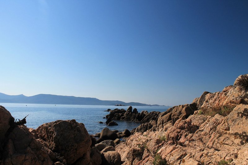
Crystal Cave sits on the shore of Mount Hope Bay in Bristol. It’s tiny, about 6 feet deep. A 4-foot entrance narrows to a chamber about 2 feet wide, so the practical way to see it is to look in, not climb in.
The name comes from the quartz crystals that once lined it, like a geode big enough to crawl into. Collectors took most of them. A few remain, and Girard calls it his favorite cave in the state.
Type: small natural cave in coastal rock. How hard to enter: only for small people, and barely. Best time: low tide. Status: no verified public-access information. Treat it as a look-from-outside site and leave the remaining crystals where they are.
Deadman’s Cave in Cranston
Deadman’s Cave is an abandoned mine, not a natural cave. Its entrance has been blocked, so only a small burrow is visible, and the pond in front of it was filled in long ago. Girard has warned that only very small people could fit.
Local kids once built rafts and paddled into the pond as a rite of passage. That’s the whole appeal now: a story and a hole in the ground. Skip it.
The Copper Hill mine in Cumberland
The Copper Hill mine is an abandoned working in Cumberland. Old shafts and adits (horizontal tunnels) are the most dangerous things in this list. They collapse, they flood, and the air inside can be bad. Treat them as places to read about, not to enter.
The Counterfeiters Den legend
Counterfeiters Den is a long-lost natural cave in northwest Rhode Island. In the late 1700s, the story goes, forgers used it to make counterfeit coins. Girard rediscovered it a few years before the Providence Journal profiled him.
There’s no public access guidance for it, and that’s probably deliberate. Fragile, small and located by cavers who want to keep it that way. It’s a good story. It isn’t a destination.
Rhode Island caves compared
| Site | Town | Type | Entry difficulty | Best for | Public access |
|---|---|---|---|---|---|
| Lighthouse Cave | Jamestown | Sea cave (through-cave) | Easy scramble | Families with older kids, low-tide visits | Yes, state park |
| Pirate Cave | Newport | Sea cave | Surf-dependent | Calm-day look from the rocks | Confirm before going |
| Dinosaur Caves | RI/CT border | Granite crevice | Hard, rope work | Experienced cavers | Mixed ownership |
| Queen’s Bed Chamber | Exeter | Talus cave | Moderate | History and scrambling | Historic site, RI Historical Society |
| Crystal Cave | Bristol | Small shore cave | Very tight | Looking, not entering | Unverified |
| Deadman’s Cave | Cranston | Mine, blocked | Not accessible | Folklore | No |
| Copper Hill mine | Cumberland | Mine | Dangerous | Not for visitors | No |
| Counterfeiters Den | NW Rhode Island | Natural cave | Unknown | Legend | No public info |
Kids: Lighthouse Cave and the Queen’s Fort are the two realistic choices. Everything else is too tight, too wet or too uncertain.
The “salt cave” in Rhode Island is not a cave
Search for caves here and you’ll hit Saltitude, a Himalayan salt room. It’s a handcrafted halotherapy space with sessions of about 45 minutes. It’s a spa, built indoors, and has no geology in it. Pleasant, maybe, but not a cave.
Safety, tides and permission
- Check the tide. Use NOAA tide predictions for Newport or Conanicut Island. Go on the falling tide to low, with a buffer to leave before it turns.
- Watch the swell. A wave that breaks near the mouth of a sea cave doesn’t stop at the entrance. If the surf is up, stay out.
- Wet rock is the real hazard. Wear shoes with grip. Algae-covered ledges cause more injuries here than any cave.
- Know the land. Several sites sit on private, Scout or historic property. Read signs. If you can’t confirm it’s public, ask.
- Never enter mines. Blocked entrances are blocked for a reason.
- Leave it alone. No crystals, no stones, no graffiti, no digging.
- Go with others. For anything beyond a look, join a local grotto through the NSS.
Where to go for a bigger cave
If Rhode Island’s caves leave you wanting more, the real caves are elsewhere. Purgatory Chasm in Sutton, Massachusetts, a short drive from Providence, has boulder caves and narrow passages like Fat Man’s Misery. For an actual show cave, you’ll need a long day trip west to Howe Caverns in New York.