TLDR
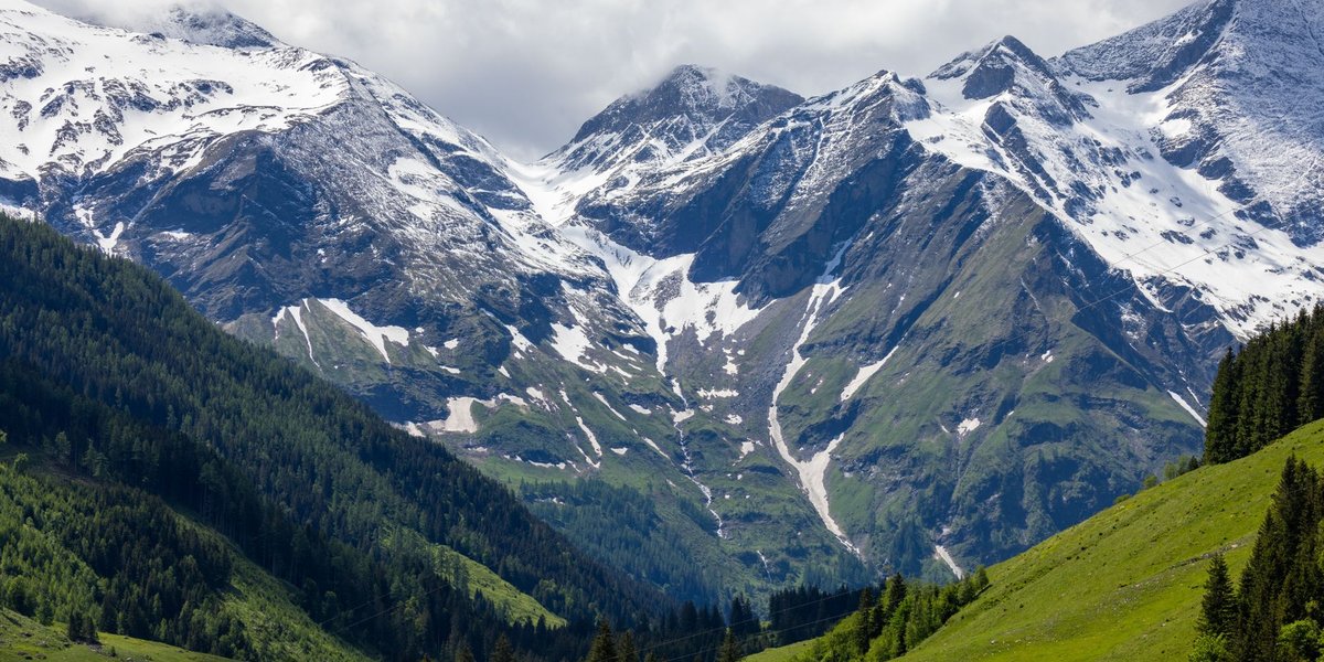
Bhutan has no volcanoes — none active, none dormant, none extinct. The Himalayas were built by two continents ramming into each other, not by the kind of subduction that produces magma chambers and eruptions. Bhutan’s real geologic hazard isn’t lava. It’s earthquakes, and increasingly, glacial lakes that can burst without warning.
Table of Contents
- The Short Answer
- Why Continental Collision Doesn’t Make Volcanoes
- Collision Mountains vs. Volcanic Mountains
- Bhutan’s Actual Geologic Hazards
- The Bottom Line
The Short Answer
No. Bhutan sits entirely within the Himalayan range, and the Himalayas contain zero volcanoes — not one, in any of the eight countries the range touches. If you searched for this because you assumed a country full of jagged, snow-capped peaks must have a volcano hiding somewhere, that’s a reasonable guess. It’s also wrong, and the reason why is more interesting than the answer itself.
Why Continental Collision Doesn’t Make Volcanoes
Volcanoes need a specific setup: a subduction zone, where a dense oceanic plate slides underneath a lighter continental or oceanic plate and melts as it descends into the mantle. That melted rock rises back up through cracks in the crust as magma. That’s what feeds the volcanic arcs you see in Indonesia, Japan, or Chile’s Andes.
Bhutan sits on the opposite kind of boundary. Around 50 million years ago, the Indian tectonic plate — moving north at a pace that’s fast by geologic standards, a few centimeters a year — slammed into the Eurasian plate. Both are continental crust, and continental crust is too buoyant to subduct in the way oceanic crust does. Instead of one plate diving under the other and melting, the two crusts crumpled, thickened, and folded upward. That’s the Himalayas: not a volcanic arc, but a 2,400-kilometer pile-up.
The collision is still happening. India continues to push into Asia at roughly 4-5 centimeters a year, and the crust beneath Bhutan reflects it — geophysical surveys show the Indian plate flexing downward beneath the Bhutanese Himalaya, with the Moho (the boundary between crust and mantle) deepening from about 50 kilometers near the southern foothills to 75 kilometers further north under the high peaks. All that energy goes into building rock upward and generating stress along fault lines. None of it produces the melt that volcanoes need.
Collision Mountains vs. Volcanic Mountains
It helps to picture the two mountain-building processes side by side.
Volcanic mountains (Fuji, Rainier, most of the Andes) form when a subducting plate melts at depth and that magma punches through the crust above, building a cone layer by layer with each eruption. The mountain is made of solidified lava and ash, and it can still erupt again.
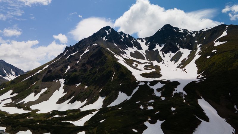
Collision mountains (the Himalayas, including everything in Bhutan) form when two plates of similar density meet head-on and neither can slide beneath the other. The crust has nowhere to go but up and sideways, thrusting older rock layers over younger ones along giant fault systems. Everest, Jomolhari, and the rest of Bhutan’s peaks are made of folded sedimentary and metamorphic rock — some of it, remarkably, containing marine fossils from when that rock sat at the bottom of the ancient Tethys Ocean, before India ever collided with Asia.
Same result — tall, dramatic mountains — from two completely different mechanisms. One builds with fire. The other builds with pressure.
Bhutan’s Actual Geologic Hazards
Skipping volcanoes doesn’t mean Bhutan skipped geologic danger. It just comes from a different source: the same collision that built the mountains.
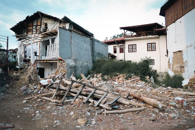
On May 4, 1714, an earthquake estimated at magnitude 8.1 tore through Bhutan, rupturing the Main Frontal Thrust — the fault system where the Himalayas meet the plains below — along nearly the entire length of the country. Researchers who studied the fault trenches decades later confirmed the rupture extended across all of Bhutan’s Himalayan front, according to findings published in Geophysical Research Letters. For a long stretch afterward, Bhutan’s low rate of smaller earthquakes made some seismologists wonder if the region was a “seismic gap” — a segment quietly building up stress without releasing it. The 1714 event proved that gap theory wrong on the historical record, and current research treats Bhutan as fully capable of producing another major quake, not a spared exception.
The second hazard is newer, and it’s tied to a warming climate rather than deep tectonics. Bhutan’s glaciers are retreating 30 to 60 meters per decade, and as they shrink, meltwater pools behind unstable walls of ice and debris called moraine dams. When one of those dams fails, the result is a glacial lake outburst flood, or GLOF — a wall of water and debris that can travel more than 100 kilometers downstream in hours. Thorthormi Tsho, a lake in northern Bhutan, is currently rated a very high hazard, and researchers have identified thirteen downstream settlements at high to very high risk, several of them flagged for the first time in a 2024 hazard assessment. More than 11,000 people, over 2,500 buildings, and hundreds of kilometers of roads and bridges sit in exposed GLOF zones nationwide, based on risk mapping published in Natural Hazards and Earth System Sciences.
Neither hazard makes headlines the way an eruption would. Both are more statistically likely to actually happen to someone living in the Bhutanese Himalaya this decade.
The Bottom Line
Bhutan has no volcanoes because it sits on a continental collision zone, not a subduction zone — the mountains were pushed up by two landmasses grinding together, not built from erupted lava. What Bhutan does have is a fault system capable of magnitude 8+ earthquakes, proven by the 1714 rupture, and a growing number of unstable glacial lakes that pose one of the country’s most active present-day hazards. The Himalayas are dangerous. They’re just dangerous in a way that has nothing to do with fire.