

TLDR
- Massachusetts has caves, but almost none are the dripstone kind. Most are boulder piles, rock shelters and crevices in hard bedrock.
- The best-documented one is the Sunderland Caves on Mount Toby (about 3 miles out and back, moderate, bring a headlamp).
- Other natural spots: Devil’s Den (Ashland), Horse Caves (Granby), King Philip’s Cave (Norton).
- Not caves: the Nashoba Brook “Potato Cave” (a stone root cellar), Dungeon Rock (a hand-dug tunnel) and the Westport salt cave (a spa).
- Some caves are bat hibernation sites. Respect closures, and confirm access before you go.
Table of Contents
- Why Massachusetts has so few caves
- Quick comparison
- Pioneer Valley
- Greater Boston and the North Shore
- Southeastern Massachusetts
- The Berkshires
- Not really caves
- Rules, bats and safety
Why Massachusetts has so few caves
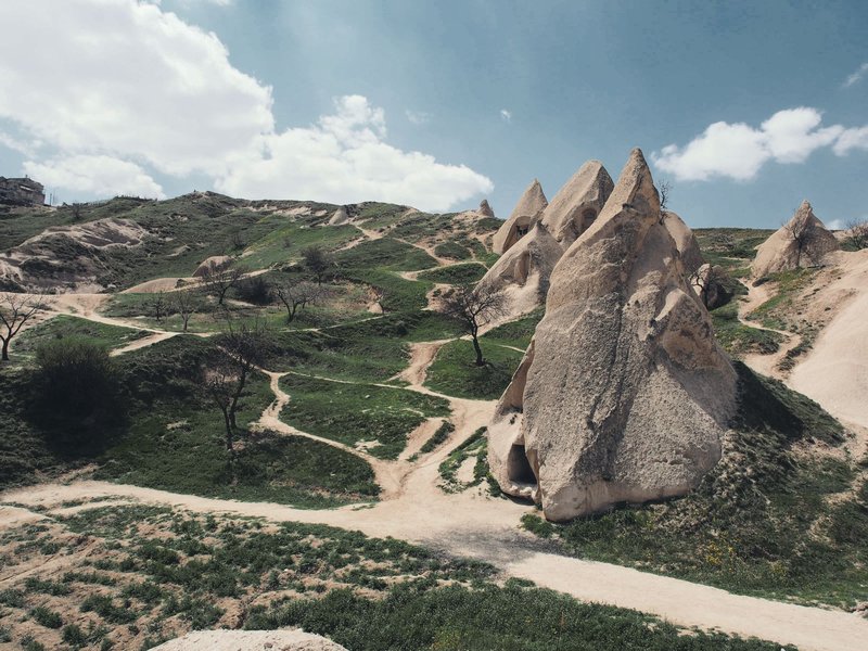
Big caves need soluble rock. Limestone and dolomite dissolve in slightly acidic groundwater, and over a long time that carves passages, the process geologists call karst. Kentucky, Virginia and Missouri have thick limestone, so they have thousands of caves.
Massachusetts mostly doesn’t. The eastern half sits on granite, gneiss and schist. Those rocks barely dissolve. The Connecticut River valley is floored with basalt and sandstone-like conglomerate. Glaciers then scraped the whole state and dumped boulders on top. Rhode Island, just to the south, has a similar pattern. See Caves in Rhode Island: Where to Find Them (and Get In) for what its caves are like.
So the “caves” you’ll find here fall into three groups:
- Talus and boulder caves: gaps between fallen or glacier-dropped blocks.
- Rock shelters and crevice caves: overhangs and cracks at the base of cliffs, mostly in traprock ridges.
- Marble solution caves: a few small ones in the Berkshires, where metamorphosed limestone does exist. State agencies treat these as sensitive and rarely publish locations. The Massachusetts caves and karst page is the official starting point.
None of that makes the hikes bad. A short scramble to a cold, dark crack in a hillside is its own reward. It just helps to know what you’re walking toward, because several famous “caves” on popular lists turn out to be something else.
Quick comparison
| Place | Town | Type | Effort | Headlamp? | Kids |
|---|---|---|---|---|---|
| Sunderland Caves | Sunderland (Mount Toby) | Natural crevice/boulder cave | About 3 miles round trip, moderate | Yes | Older, sure-footed kids |
| Horse Caves | Granby | Natural rock shelter | Short but steep | Helpful | Older kids with supervision |
| Devil’s Den | Ashland | Natural boulder cave | Short walk | Helpful | Good for scramblers |
| King Philip’s Cave | Norton | Natural rock shelter | Short walk | Optional | Generally fine |
| Nashoba Brook Stone Chamber | Westford | Man-made stone chamber | Easy walk | Helpful | Yes |
| Dungeon Rock | Lynn (Lynn Woods) | Man-made tunnel | Moderate walk | Yes | Check access first |
| Westport salt cave | Westport | Commercial spa | None | No | Varies |
Distances are approximate except where noted. Trail conditions change, so check the landowner’s page before you leave.
Pioneer Valley
Sunderland Caves, Mount Toby
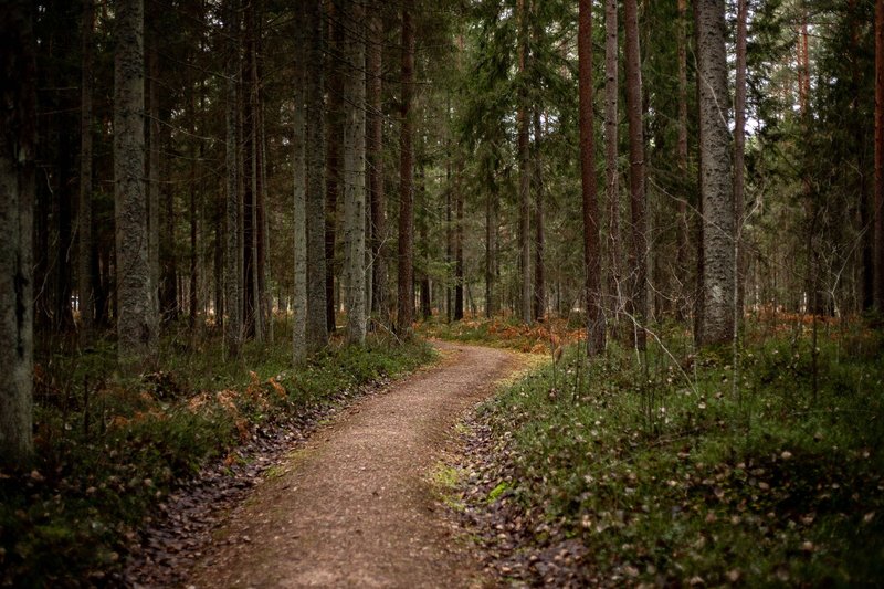
This is the one to build a trip around. The Sunderland Caves sit on Mount Toby, in the forested hills above the Connecticut River, and they’re the most thoroughly documented cave hike in the state. Routes like the one on MyHikes put the round trip at about 3 miles. Expect a moderate effort: steady climbing, rooty trail, and a final stretch over rock.
Bring a headlamp. The openings look like a collapsed pile of blocks, and the passages beyond them go properly dark within a few body lengths. Wear shoes with grip, because the rock stays damp and slick for much of the year. Carry a second light source anyway.
Skip it right after heavy rain or in icy weather. And if signs or a land manager say a section is closed, that settles it. Distance and elevation figures differ from site to site, so use a map and trail markers rather than any single number.
Horse Caves, Granby
Horse Caves is a rock shelter in the Holyoke Range, the basalt ridge that cuts east-west across the valley. The name comes from local tradition: followers of Daniel Shays, during the 1786-87 uprising, reportedly hid horses here. Treat that as folklore. The overhang itself is real, and it’s a good example of how traprock cliffs shed blocks and form shelters at their base.
The walk is short but steep, with loose rock underfoot. Go in dry weather.
Greater Boston and the North Shore
Devil’s Den, Ashland
Devil’s Den is the closest natural cave to Boston on most lists. It’s a boulder-formed cave in the glacial landscape of MetroWest, reached by a short walk. The Showcaves entry documents it. Expect a scramble over rock and low crawling rather than walking passages. Bring a headlamp and expect mud in spring.
Plenty of New England sites carry the “Devil’s Den” name, so make sure your map pin says Ashland.
Nashoba Brook Stone Chamber (“Potato Cave”), Westford
This one is on every “caves near Boston” list, and it isn’t a cave. It’s a dry-laid stone chamber built into a hillside in the Nashoba Brook Conservation Area. The most likely explanation is a colonial or 19th-century root cellar, which is where the “Potato Cave” nickname comes from. Some fringe theories credit ancient visitors. There’s no evidence that holds up for that.
It still makes an easy, kid-friendly walk and a decent stop for anyone who likes stonework. Just don’t expect geology.
Dungeon Rock, Lynn Woods
Dungeon Rock is a tunnel, and the story behind it is better than most natural caves’. Local legend said the pirate Thomas Veal hid in a cave here, and that an earthquake sealed it with his treasure inside. In 1852 a spiritualist named Hiram Marble bought the land and began digging into the rock, guided, he said, by spirit messages. His son Edwin kept digging after Hiram died, until Edwin’s own death in 1880. The result is a roughly 135-foot hand-cut tunnel. No treasure turned up.
You’ll find it inside Lynn Woods Reservation, one of the largest municipal parks in the country. Access to the tunnel has been restricted at times, so check with the park before you plan around going inside.
Southeastern Massachusetts
King Philip’s Cave, Norton
King Philip’s Cave is a rock shelter linked by local tradition to Metacom (King Philip), the Wampanoag leader of King Philip’s War in 1675-76. Whether he actually sheltered here is not documented. Several New England sites claim the same story. What you can visit is a natural overhang in a wooded outcrop, reached on a short walk.
The Berkshires
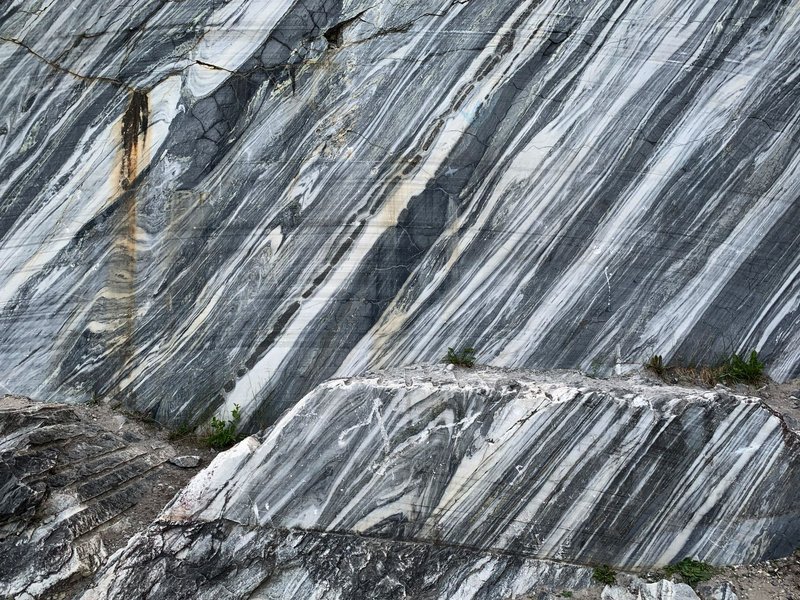
The western end of the state has the only true solution caves, cut into marble belts in the valleys. They are small, often wet, and mostly on private land or protected sites. Some host hibernating bats. There’s no public, list-friendly set of coordinates, and for good reason: heavy foot traffic damages cave formations and disturbs wildlife.
If this is your interest, the route in is organized caving. The National Speleological Society’s local grottos run trips with landowner permission, and that’s the legitimate way to see the marble caves.
Not really caves
A few entries show up on “caves in Massachusetts” lists and should be labeled plainly:
- Westport salt cave: a commercial wellness room lined with salt. It’s a spa treatment, not a natural cave.
- Nashoba Brook Stone Chamber: covered above. Human-built.
- Dungeon Rock: covered above. Human-dug.
Some lists also count a place twice or pad out a “Top 5” with only four real caves. If a page can’t say whether a site is natural, treat the list with suspicion.
Rules, bats and safety

Bats come first. Massachusetts caves, crevices and old mines are winter homes for hibernating bats. White-nose syndrome, a fungal disease, has devastated North American hibernating species, and it spreads partly through cave visits. The White-Nose Syndrome Response Team tracks the disease and publishes guidance for people who visit caves. The northern long-eared bat is federally listed as endangered, and other Massachusetts bats have state protection.
In practice:
- Stay out of any cave that is posted closed. Many closures run through the hibernation season, roughly fall to spring.
- If you see a bat during winter, leave it alone and back away. Waking it burns fat reserves it needs to survive until spring.
- Don’t wear gear or clothing that has been in a cave in another state or region.
Land access. Check who owns the land. Some sites are state forest or town conservation land, some are university or private property. Trespass rules apply to all of them.
Safety basics.
- Carry two light sources and tell someone your route and return time.
- Wear shoes with grip and long pants. Rock in these caves is often wet.
- Don’t squeeze into a space you can’t back out of.
- Avoid caves after heavy rain or when ice is present.
- Take nothing, break nothing, and write nothing on the walls.
Caves in Massachusetts reward modest expectations and good preparation. Start with the Sunderland Caves for a proper hike, add Devil’s Den if you’re near Boston, and treat Dungeon Rock and the Potato Cave as history stops. Check current conditions and access rules for any site before you go, since closures and trail details change.