Table of Contents
- The quick answer
- Myanmar’s volcanoes, one by one
- Is Mount Popa actually active?
- Why Myanmar has volcanoes at all
- Mount Popa isn’t just geology — it’s the home of the Nats
- The 2025 earthquake changed the conversation
The quick answer
Myanmar has six recognized volcanic features, and only one of them counts as active in the geological sense: Mount Popa, whose most recent eruption was roughly 8,000 years ago. Everything else on the list — Taungthonton, the Lower Chindwin field, Singu Plateau, Namyong, and Loimye — is Pleistocene or older, meaning the youngest of them last erupted well over 11,000 years ago and the oldest go back millions of years. That single distinction, Holocene versus not, is the whole ballgame if you’re trying to figure out which of Myanmar’s “volcanoes” could theoretically do something again.
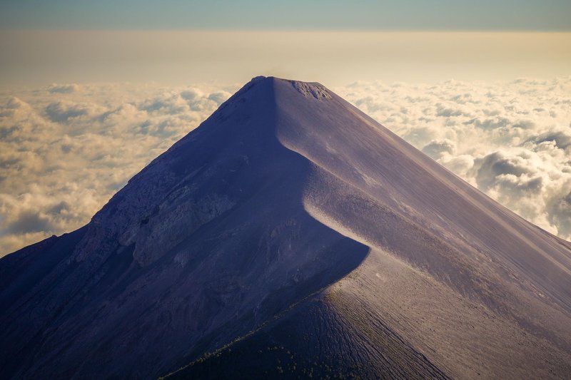
None of them look like the cone-shaped, smoke-belching volcanoes you picture from Indonesia or Japan. Myanmar’s volcanic story is quieter than that, spread across a thousand kilometers of the country’s dry central belt, and largely finished — except for the one at the center of it.
Myanmar’s volcanoes, one by one
These six sit along what geologists call the Wuntho–Popa Arc, a north-south chain running through central and northern Myanmar. Here’s what’s actually there:
Mount Popa — A 1,518-meter composite volcano near Bagan, in the country’s central dry zone. It’s the only Holocene volcano in Myanmar, meaning it has erupted within the last 11,700 years, and it’s the one entry on this list a geologist would call genuinely dormant rather than extinct.
Taungthonton — A large stratovolcano straddling Sagaing Region and Kachin State in the north, rising to about 1,680 meters. No eruptions have ever been recorded here; it’s one of the older, quieter members of the arc.
Lower Chindwin volcanic field — Not a single cone but a cluster of seven or eight explosion craters strung along the lower Chindwin River in central Myanmar. Most of the cones and lava flows predate 10,000 years, though one notably young-looking basalt flow near Thayet-Pingan has kept researchers curious about just how recent it might be.
Singu Plateau — A lava plateau of basaltic-trachyandesite rock north of Mandalay, built from fissure eruptions rather than a single central vent. It covers roughly 62 square kilometers, flat and unremarkable to look at, which is exactly why most visitors to Mandalay have never heard of it.
Namyong — A modest 508-meter feature in Myanmar’s far north, with an eruptive history dated to the Pliocene through Pleistocene — meaning it’s been quiet for a very long time, likely over a million years.
Loimye — The least-studied of the six. Its early eruptions were sub-aqueous, meaning it began forming underwater, but precise dating on the rest of its history hasn’t been pinned down.
Line them up and a pattern shows up fast: one live system, five that are effectively fossils. That’s a smaller and simpler picture than what you’d get from browsing a raw database table, but it’s the accurate one.
Is Mount Popa actually active?
“Active” is doing a lot of work in that question, so it’s worth being precise. Mount Popa isn’t erupting, hasn’t erupted in recorded human history, and shows no current unrest. But in volcanology, “active” usually means “has erupted in the Holocene” — the last roughly 11,700 years — and Popa clears that bar on the strength of one well-documented event.
Around 8,000 years ago, a chunk of the volcanic cone — about 1.3 cubic kilometers of it — collapsed under its own weight, sending an 11-kilometer-long debris avalanche down the mountain. That collapse was immediately followed by roughly 0.1 cubic kilometers of pyroclastic flow, a fast-moving mix of hot gas and volcanic material, made of calc-alkaline basaltic andesite. That’s the eruption documented in a 2018 study in the Journal of Volcanology and Geothermal Research, and it’s the reason Mount Popa gets counted as the single Holocene volcano on the Smithsonian’s Global Volcanism Program database for all of Myanmar — while its five neighbors along the arc don’t.
There’s no known lava lake, no fumarole field, no seismic swarm sitting under Popa today. What there is: a volcano young enough, geologically speaking, that ruling out a future eruption would be premature.
Why Myanmar has volcanoes at all
The short version: Myanmar sits above a subduction zone, just a slow and understudied one compared to its more famous neighbors along the Pacific Ring of Fire.
The Indian Plate is diving beneath the Sunda Plate along the Arakan Trench, off Myanmar’s western coast. As that oceanic crust sinks and heats up, it releases water into the mantle above it, which lowers the melting point of the surrounding rock and generates magma. That magma rises, and where it breaks through, you get the Wuntho–Popa Arc — the same basic mechanism that builds volcanic arcs from the Andes to the Cascades, just running at a noticeably slower, patchier pace here.
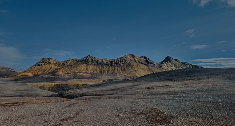
That’s also why the arc looks so scattered rather than forming a tidy chain of similarly-aged cones. Subduction along the Arakan Trench is oblique — the plates aren’t converging head-on, they’re grinding past each other at an angle — which produces a messier, more strike-slip-dominated tectonic setting than a textbook subduction zone. Researchers studying Mount Popa’s rock chemistry have found calc-alkaline to potassic calc-alkaline compositions consistent with ongoing arc magmatism, essentially confirming that the plumbing beneath Popa is still connected to a live subduction system, even if the volcano itself sits quiet on the surface.
Mount Popa isn’t just geology — it’s the home of the Nats
Every geology database treats Mount Popa as a data point: elevation, coordinates, last eruption date. None of them mention that it’s also the most important spiritual site in the country.
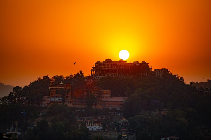
Myanmar’s animist tradition holds that 37 great Nats — spirits, most of them the ghosts of historical or legendary figures who died violently or tragically — reside at Mount Popa, led by Min Mahagiri, the “Lord of the Great Mountain.” The pilgrimage site isn’t the volcanic summit itself but Taung Kalat, a sheer volcanic plug jutting up beside it, crowned with a gilded monastery reached by climbing 777 steps. Pilgrims go barefoot the whole way up, a mandatory sign of respect at a site this sacred.
What makes this worth mentioning in a geology piece: the reverence isn’t incidental to the landscape, it’s built on top of it. Nat worship coexists with Theravada Buddhism across Myanmar — most people who leave offerings of coconuts, bananas, and incense at Popa also identify as Buddhist. The volcano’s violence, 8,000 years buried, gave the mountain its dramatic shape; the shape gave the country one of its most visited pilgrimage destinations, drawing devotees year-round who climb to pray for health, protection, and success.
The 2025 earthquake changed the conversation
On March 28, 2025, a magnitude 7.7 earthquake struck central Myanmar’s Sagaing Region near Mandalay, followed within minutes by a magnitude 6.4 aftershock. It ruptured an unusually long stretch of the Sagaing Fault — research published in PNAS found the rupture ran roughly 480 kilometers, including a segment that hadn’t broken since 1839 and had long been flagged as a high-hazard gap. The quake killed thousands and triggered a major international response, documented by the WHO’s regional office.
The Sagaing Fault is a strike-slip fault, not the subduction system that feeds Mount Popa’s magma — they’re mechanically different structures. But they sit close enough geographically, and Myanmar’s crust is monitored thinly enough, that the 2025 rupture has renewed scientific interest in Popa’s dormant status. Researchers studying the volcano have specifically pointed to recent seismic activity along the Sagaing Fault as a reason Popa’s system deserves fresh, comprehensive investigation rather than being filed away as settled.
That’s not the same as saying an eruption is coming. It’s closer to an acknowledgment that Myanmar’s volcanic hazard picture has been under-studied relative to its earthquake hazard, and a major seismic event nearby is exactly the kind of thing that should prompt a second look at a system whose last confirmed activity was thousands of years ago, not millions.
If you’re researching Mount Popa for a trip to Bagan rather than a geology paper: there’s no active monitoring network flagging unrest, and Taung Kalat remains a routinely visited pilgrimage site. The renewed scientific attention is about closing a data gap, not a warning sign.