TLDR
- Gabon has no active volcanoes, and no historical eruptions are recorded anywhere in the country.
- It has two volcanic relics: the Pointe-Gombe volcano on the coast (about 18 million years old) and volcanic rocks in the Francevillian Basin (about 2.1 billion years old). Both are long dead.
- The nearest active volcanism sits next door on the Cameroon line, which includes Mount Cameroon, Bioko, São Tomé, Príncipe and Annobón.
Contents
- Does Gabon have active volcanoes?
- Why Gabon has no volcanoes
- Pointe-Gombe: the Miocene volcano on the coast
- The Francevillian Basin: 2 billion years of silence
- Where the nearby active volcanoes are
- Gabon vs. its neighbors
- FAQ: hazards and travel safety
Does Gabon have active volcanoes?
No. Gabon has no active volcanoes, no dormant ones that anyone seriously monitors, and no recorded eruption in its history. If you’re checking the country before a trip, that part of the risk list is empty.
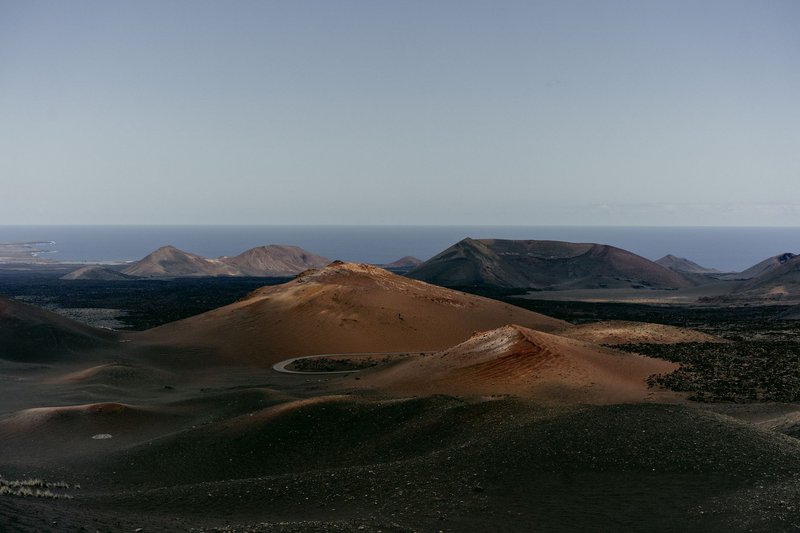
The question keeps coming up because Gabon sits in the middle of a volcanic neighborhood. Cameroon to the north has one of Africa’s most active mountains. The island chain off the coast is built entirely of volcanoes. A map makes Gabon look like it should have a few of its own. It doesn’t, and the geology explains why.
Quick facts
| Question | Answer |
|---|---|
| Active volcanoes | None |
| Historical eruptions | None recorded |
| Youngest volcanic feature | Pointe-Gombe, roughly 18 million years old (Miocene) |
| Oldest volcanic rocks | Francevillian Basin, roughly 2.1 to 2 billion years old |
| Nearest active volcano | Mount Cameroon, about 4,040 m high |
Why Gabon has no volcanoes
Volcanoes cluster where the Earth’s crust is being pulled apart, pushed under another plate, or heated from below by a mantle plume. Gabon has none of those conditions.
The country sits on the western edge of the Congo craton, a block of continental crust that has been stable for billions of years. It’s far from any plate boundary. The nearest ones are the mid-Atlantic ridge, thousands of kilometers west, and the East African Rift, thousands of kilometers east. No subduction zone, no rift, no hot spot underneath. The crust is thick, cold and old.
That stability is also why Gabon has few earthquakes. The Belgian foreign ministry’s travel advice describes Gabon as not especially prone to natural disasters. Flooding in the rainy season is the more realistic hazard.
Pointe-Gombe: the Miocene volcano on the coast
Gabon does have one volcanic landmark. Pointe-Gombe, on the Atlantic coast, is the remnant of a volcano that erupted during the Miocene, around 18 million years ago. Geologists link it to an offshore bank known as Loiret.
Calling it a volcano needs a caveat. This is an extrusion of volcanic rock, not a cone you’d recognize from a postcard. Eighteen million years is enough time for erosion, tropical weathering and the sea to strip most of the shape away. What survives is rock and chemistry, which is what the academic papers study.
It also matters that this feature lines up with the Cameroon line, the volcanic chain described below. Pointe-Gombe is a distant, extinct cousin of that system, and nothing about it suggests it could wake up.
The Francevillian Basin: 2 billion years of silence
The other volcanic trace is far older. In eastern Gabon, the Francevillian Basin holds sedimentary layers that formed in the Paleoproterozoic, roughly 2.1 to 2 billion years ago. Volcanic rocks are interleaved with them. A study of the basin’s volcanism traces a shift from alkaline to calc-alkaline magmas as the basin evolved.
This is rock from an era when the atmosphere was just starting to hold oxygen. The same basin is better known to scientists for something else: some of the oldest known fossils that point to complex, multicellular life. The volcanic layers are part of the geological record that dates and frames those finds.
For a visitor, there’s nothing to see in the sense of lava fields or craters. It’s a research site, not a hazard.
Where the nearby active volcanoes are
Gabon’s neighbors are the real answer to the “why does this keep coming up” question. They sit along the Cameroon line, a roughly 1,600 km chain of volcanoes and igneous centers running from the Atlantic islands northeast into the Cameroonian mainland.
- Mount Cameroon is the big one, at about 4,040 m the highest peak in West and Central Africa. It’s the only volcano on the line with frequent recent eruptions; the Smithsonian’s Global Volcanism Program logs its eruption history, including the 2012 event.
- Bioko (Equatorial Guinea) is a volcanic island whose Pico Basilé rises above 3,000 m.
- São Tomé and Príncipe are two separate volcanic islands and one country, built on the same line.
- Annobón (Equatorial Guinea) is the southernmost island of the chain, a small volcanic cone in the Gulf of Guinea.
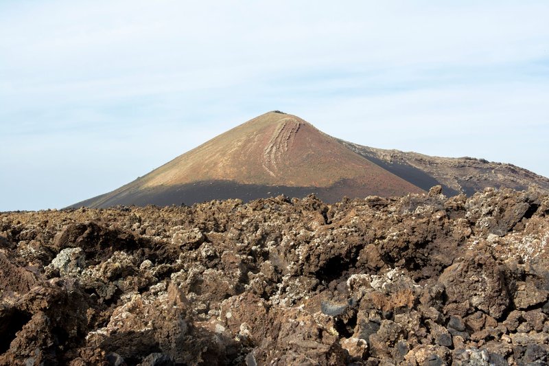
Mount Cameroon is roughly 600 km from northern Gabon’s border region by air. It poses no direct danger to Gabon. Ash from a moderate eruption stays local.
Gabon vs. its neighbors
| Country or territory | Active volcanoes? | Notes |
|---|---|---|
| Gabon | No | Two ancient relics only (Pointe-Gombe, Francevillian Basin) |
| Cameroon | Yes | Mount Cameroon, last erupted in 2012 |
| Equatorial Guinea | Volcanic islands | Bioko and Annobón; mainland Río Muni is not volcanic |
| São Tomé and Príncipe | Volcanic islands | Entire country is volcanic in origin |
| Republic of the Congo | No | Same stable craton setting as Gabon |
FAQ: hazards and travel safety
Are there active volcanoes in Gabon? No. There are none, and no historical eruptions are recorded.
Could a volcano form in Gabon? Not on any human timescale. A new volcano needs a plate boundary, a rift or a mantle plume, and Gabon has none of them under it.
Is Gabon safe from earthquakes? Mostly. It sits far from active plate boundaries, so large earthquakes are rare. Small tremors from distant events are possible but uncommon.
Does Mount Cameroon affect travel to Gabon? No. It’s an issue for travelers heading to the Cameroon coast near Buea, not for Gabon. Check Cameroon-specific advisories before visiting that mountain.
What is the biggest natural hazard in Gabon? Seasonal flooding, mainly in low-lying areas during the rains. Volcanic risk is effectively zero.