Most geography topic lists hand you a title and walk away. “Urban sprawl.” “Glaciers.” Fine, but what do you do with that? This list gives every topic a hook: the question it answers or the reason it’s worth your time. Each one carries a level tag, so you can tell a school essay from a thesis chapter at a glance.
Geography splits into three working areas. Physical geography covers the natural world: climate, landforms, water, ecosystems. Human geography covers people: where they live, move, trade and fight over borders. Geospatial methods (maps, GIS, remote sensing) are the tools both sides use to measure any of it. The topics below follow that split.
Contents
- How to choose a geography topic
- Climate and natural hazards
- Landforms and geomorphology
- Water and oceans
- Population and migration
- Urbanization and cities
- Economic and political geography
- Environment and sustainability
- GIS, mapping and remote sensing
- Quick reference: data sources and best use
How to choose a geography topic

Pick the format first, then the topic. A ten-minute presentation and a 10,000-word thesis need different things.
- Presentation: choose a topic with strong visuals and one clear story. Glacier retreat, megacities and river deltas all work because a single map or photo does half the explaining.
- Essay: choose a topic with a debate in it. “Is the Sahel greening or degrading?” gives you two sides. “The Sahel” gives you a summary.
- Research paper or thesis: choose a topic where free data exists and you can answer a narrow question with it. A place plus a time window plus a measurable variable beats a broad theme every time.
- Need something fast? Anything tagged [School] with a well-documented case study (the Aral Sea, the 2011 Tohoku tsunami, Lagos) is quick to source. Official agencies publish maps, charts and datasets you can cite directly.
Level tags used below: [School] is secondary level, [Undergrad] is university coursework, [Research] is thesis or paper level and assumes you’ll work with real datasets.
Climate and natural hazards
- The Köppen climate classification [School]: how five letters sort every place on Earth into climate types, and where the system breaks down. A field guide to the branches of climatology shows where this kind of work sits within the wider field.
- El Niño and La Niña [School]: why warm water off Peru changes rainfall in Australia and India.
- Monsoon systems [Undergrad]: what drives the seasonal wind reversal that delivers most of South Asia’s annual rain.
- Urban heat islands [Undergrad]: why a city can run several degrees hotter than the farmland around it, and which street designs help.
- Hurricane tracks and storm surge [Undergrad]: why surge, not wind, kills most people in coastal storms.
- Tectonic hazard mapping [Undergrad]: how the Ring of Fire concentrates earthquakes and volcanoes, and what hazard maps leave out.
- Drought and desertification [Undergrad]: where land degradation is documented versus where it’s assumed.
- Attributing extreme weather to climate change [Research]: how scientists decide whether a specific heatwave or flood was made likelier.
Starter questions: Did the 2011 Tohoku tsunami hit communities differently depending on their coastal geometry? Which cities in your country have the widest night-time urban heat island?
For climate datasets and scenario reports, the IPCC assessment reports are the standard reference and are free to read.
Landforms and geomorphology
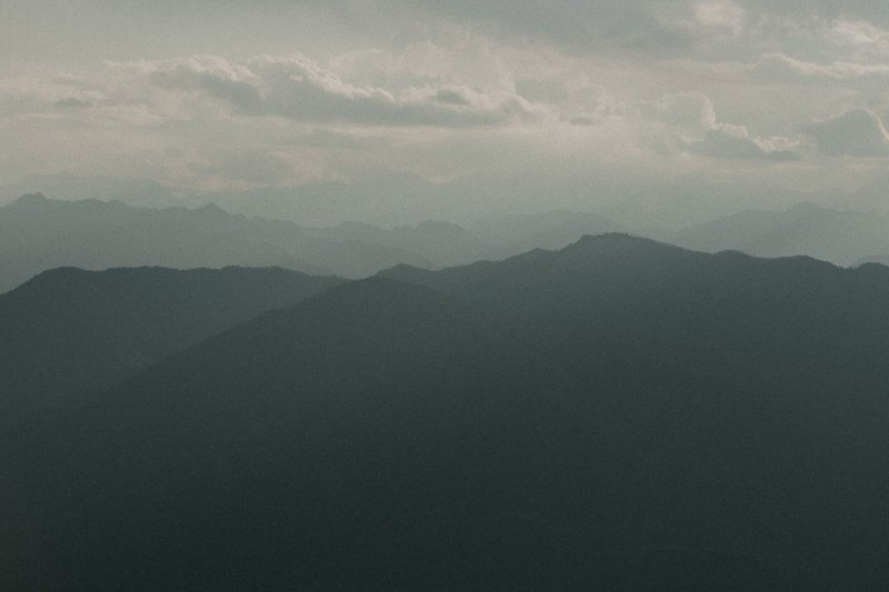
- How mountain ranges form [School]: collision, subduction and uplift, using the Himalayas and the Andes as contrasting cases.
- Glacial landscapes [School]: how ice carved U-shaped valleys, fjords and moraines you can still see.
- Karst terrain [Undergrad]: how rain dissolves limestone into sinkholes, caves and vanishing rivers.
- Coastal erosion and retreat [Undergrad]: why some cliffs lose a metre a year, and whether seawalls just move the problem down the coast.
- Desert dune systems [Undergrad]: how wind builds barchans, linear dunes and star dunes, and what each shape says about wind direction.
- Volcanic island arcs [Undergrad]: how subduction builds chains like Japan, the Aleutians and the Lesser Antilles.
- Permafrost thaw [Research]: what happens to roads, houses and stored carbon when frozen ground softens.
- Landslide susceptibility modeling [Research]: combining slope, rainfall and geology to predict where slopes fail.
Starter questions: How fast is a named stretch of coastline retreating, based on historical aerial photos versus recent satellite images? Where does permafrost thaw already damage infrastructure in Siberia or Alaska?
Water and oceans
- The water cycle at basin scale [School]: tracking one river basin’s inputs and outputs instead of reciting the diagram.
- River deltas under pressure [Undergrad]: why the Mekong and Nile deltas are sinking while sea level rises, with dams cutting off sediment.
- Shrinking lakes [School]: the Aral Sea and Lake Chad as case studies in diverted rivers and changing rainfall.
- Groundwater depletion [Undergrad]: how aquifers in northern India and the US High Plains are drawn down faster than rain refills them.
- Transboundary rivers [Undergrad]: the Nile, Mekong and Indus, and who gets to build what upstream.
- Ocean currents and heat transport [Undergrad]: how the Gulf Stream moves heat, and what a weaker circulation would mean for Europe.
- Coral reef distribution [School]: why reefs cluster in warm, clear, shallow water, and what bleaching does to that map.
- Sea level rise and coastal exposure [Research]: which populations sit within a few metres of today’s high-tide line.
Starter questions: Which countries share the largest number of river basins? How much of the Aral Sea’s old shoreline is now visible from space?
NASA’s Earth Observatory publishes image series of lakes, deltas and glaciers over time, which makes before-and-after comparisons easy to build.
Population and migration
- Demographic transition [School]: why death rates fall before birth rates do, and what that does to a country’s age structure.
- Population pyramids [School]: reading Japan’s, Nigeria’s and Germany’s pyramids and what they predict.
- Ageing societies [Undergrad]: what a shrinking workforce does to rural areas, pensions and housing.
- Rural-to-urban migration [Undergrad]: why people leave farms for cities, and who stays behind.
- Refugee flows and host regions [Undergrad]: where displaced people actually settle (mostly in neighbouring countries, not distant ones).
- Remittances [Undergrad]: how money sent home becomes a larger source of income than aid for some countries.
- Climate migration [Research]: separating people moving because of weather from people moving for jobs that weather affected.
- Population density versus carrying capacity [Undergrad]: why Bangladesh and the Netherlands both pack in people with very different outcomes.
Starter questions: How has your region’s median age changed in thirty years? Which countries receive the most remittances relative to their economy?
Urbanization and cities
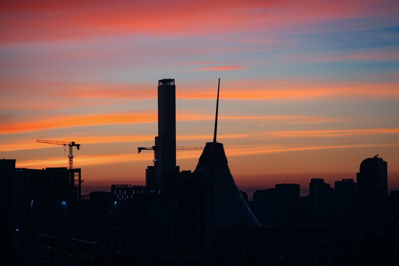
- Megacities [School]: how Tokyo, Delhi and Lagos grew, and why the list of the biggest cities keeps changing.
- Informal settlements [Undergrad]: how slums form, what services they lack, and which upgrading programs worked.
- Urban sprawl versus compact growth [Undergrad]: the transport, energy and land costs of each pattern.
- Gentrification [Undergrad]: mapping rent and income changes block by block.
- Shrinking cities [Undergrad]: Detroit, Leipzig and Kitakyushu, and what planners do with abandoned land.
- Public transport and accessibility [Undergrad]: who can reach jobs within 45 minutes, and who can’t.
- Food deserts [Undergrad]: measuring distance to a grocery store and how it tracks with income and health.
- Smart city projects [Research]: what sensors and data platforms delivered versus what the pitch promised.
Starter questions: How many of the world’s ten largest cities are in Asia today compared with 1970? Where in your city does a bus ride to the nearest hospital take longest?
The United Nations’ World Urbanization Prospects offers city-level population figures and projections, which saves you building the dataset yourself.
Economic and political geography
- Global trade chokepoints [School]: why the Strait of Hormuz, Malacca and the Suez Canal matter far beyond their width.
- Deindustrialization [Undergrad]: the rise and fall of manufacturing regions such as the Ruhr and the US Rust Belt.
- Special economic zones [Undergrad]: how Shenzhen went from fishing town to manufacturing hub, and why copies elsewhere often failed.
- Resource curse [Undergrad]: why oil and mineral wealth sometimes comes with weaker growth. For a country that became rich with little of either, see Natural Resources of Japan: What the Country Actually Has.
- Borders and boundary disputes [Undergrad]: natural borders versus colonial straight lines, and the disputes that follow from each.
- Geopolitics of the Arctic [Undergrad]: shipping routes, seabed claims and what melting ice opens up.
- Regional inequality [Undergrad]: why northern and southern Italy, or coastal and inland China, diverge.
- Global value chains [Research]: tracing where one product’s components are made, and how a single closure ripples through.
Starter questions: Which countries rely on a single chokepoint for most of their energy imports? How do GDP per capita figures differ between a country’s richest and poorest regions?
Environment and sustainability
- Deforestation fronts [School]: where forest is being lost fastest, the Amazon arc, Borneo, the Congo Basin, and who drives it.
- Biodiversity hotspots [School]: why a small share of land holds a large share of species.
- Protected areas [Undergrad]: whether national parks reduce forest loss, and what happens to people who lived there first.
- Renewable energy siting [Undergrad]: where wind and solar go, and the land-use conflicts that come with them.
- Plastic pollution pathways [Undergrad]: how waste from rivers ends up in ocean gyres and on remote beaches.
- Air quality across cities [Undergrad]: why Delhi and Los Angeles have smog for different reasons.
- Environmental justice [Research]: mapping pollution sources against neighbourhood income and ethnicity.
- Carbon footprints by place [Research]: comparing production-based and consumption-based emissions for the same country.
Starter questions: Did a protected area’s boundary actually stop forest loss at its edge? Which neighbourhoods in a city live nearest to highways or industrial sites?
GIS, mapping and remote sensing
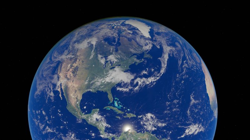
- Map projections [School]: why Greenland looks the size of Africa on a Mercator map, and which projection suits which job.
- Land cover change from satellite imagery [Undergrad]: classifying two images a decade apart and measuring what changed.
- Flood mapping with radar data [Research]: using satellite radar, which sees through cloud, to outline flooded areas within days.
- Night-time lights as an economic proxy [Research]: whether the glow from space tracks GDP, and where it fails.
- Crowdsourced mapping [Undergrad]: how OpenStreetMap volunteers mapped Haiti after the 2010 earthquake.
- Digital elevation models [Undergrad]: building watersheds, slope maps and viewsheds from terrain data.
- Spatial analysis of health outcomes [Research]: using clusters to find disease hotspots, from cholera to air pollution.
- Participatory GIS [Research]: letting communities draw their own maps of land use, and what official maps miss.
Starter questions: How much has an irrigated area expanded since 2000, judged from free Landsat images? Does night-time brightness predict regional income in your country?
The USGS EarthExplorer gives free access to Landsat archives going back decades, which is enough for most undergraduate change-detection projects.
Quick reference: data sources and best use
| Category | Typical free data | Best for |
|---|---|---|
| Climate and hazards | IPCC reports, NOAA, USGS hazard maps | Essay, presentation |
| Landforms | USGS, NASA elevation and imagery | Presentation, fieldwork report |
| Water and oceans | NASA Earth Observatory, FAO AQUASTAT | Presentation, case study |
| Population and migration | UN population data, World Bank, national censuses | Essay, research paper |
| Urbanization | UN World Urbanization Prospects, city open-data portals | Essay, research paper |
| Economic and political | World Bank Open Data, UN Comtrade | Essay, thesis |
| Environment | Global Forest Watch, Protected Planet, national air-quality networks | Presentation, thesis |
| GIS and remote sensing | Landsat, Sentinel, OpenStreetMap | Thesis, project report |
Pick one topic, one place and one dataset, then write the question in a single sentence. If you can’t, the topic is still too wide. Narrow it until you can.