TLDR
Yemen has two volcanoes with confirmed eruptions in the past 20 years: Jebel al-Tair, which erupted from September 2007 to mid-2008, and the Zubair Group, which built two entirely new islands in 2011–2012 and 2013. Both sit in the Red Sea, not on the mainland. Everything else — the harrat lava fields at Dhamar, Arhab, Bal Haf, and Bir Borhut — is dormant, not extinct, and hasn’t erupted in recorded history. Out of roughly 10 volcanic systems the Smithsonian’s Global Volcanism Program (GVP) tracks in Yemen, only those two are doing anything right now.
Table of Contents
- The short answer
- Jebel al-Tair: the one that killed a naval outpost
- The Zubair Group: Yemen’s island-building machine
- Why the mainland volcanoes stay quiet
- Why the volcano count doesn’t match between sources
- The tectonics behind it: a triple junction pulling apart
- Is Yemen volcanically active, really?
The short answer {#the-short-answer}
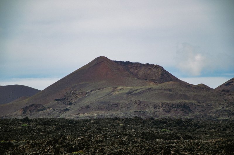
If someone asks whether Yemen has active volcanoes, the honest answer is: two, and they’re both islands you’ve probably never heard of. Jebel al-Tair and the Zubair Group sit in the Red Sea about 50 km apart, off Yemen’s western coast, roughly on the shipping line between the port of Hodeidah and the Bab-el-Mandeb strait. Neither is near a major city. Neither shows up on a typical map of Yemen unless you zoom into the water.
That’s a smaller number than most lists imply. Wikipedia’s roundup counts 13 volcanoes for Yemen; the GVP, which is the reference database volcanologists actually use, lists closer to 10. Either way, the vast majority are extinct shield fields and scoria cones that stopped erupting thousands of years ago. Two are not.
| Volcano | Status | Last eruption | Location |
|---|---|---|---|
| Jebel al-Tair | Active | 2007–2008 | Red Sea island |
| Zubair Group | Active | 2013 (Jadid Island) | Red Sea island cluster |
| Harra es-Sawâd (Shuqra) | Dormant | Prehistoric/uncertain Holocene | Gulf of Aden coast |
| Dhamar volcanic field | Dormant | ~Medieval reports, unconfirmed | Central highlands |
| Arhab volcanic field | Dormant | No confirmed Holocene eruption | North of Sana’a |
| Bal Haf volcanic field | Dormant | No confirmed Holocene eruption | South coast |
| Bir Borhut volcanic field | Dormant | No confirmed Holocene eruption | Southeastern Yemen |
| Jebel Zuqar | Dormant | 18th–19th century reports | Red Sea island |
Jebel al-Tair: the one that killed a naval outpost {#jebel-al-tair}
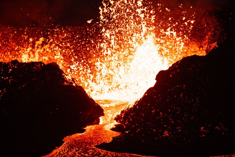
Jebel al-Tair is an oval island about 3 km long, rising from water roughly 1,200 meters deep in the south-central Red Sea. It’s the northernmost confirmed Holocene volcano in the entire Red Sea basin, and for most of the 20th century it looked done — quiet, uninhabited except for a small Yemeni military post and a lighthouse.
Then on September 30, 2007, a fissure opened on the island’s northeast flank. Not the summit — the flank, which is often how these things go wrong for anyone standing nearby. Lava fountains hit tens of meters high, flows reached the sea within hours, and the eruption destroyed the naval outpost, killing as many as eight soldiers stationed there, according to Global Volcanism Program eruption reports. Ash and pumice rafts drifted 10 km offshore.
The eruption didn’t stop after the initial burst. Satellite thermal imagery kept picking up hotspots on the island through June 2008, and researchers later measured about 5.9 square kilometers of new lava — nearly half the island’s surface, per a Bulletin of Volcanology study using satellite radar. Since mid-2008, Jebel al-Tair has gone quiet again. No confirmed activity since.
The Zubair Group: Yemen’s island-building machine {#zubair-group}
The Zubair Group is a cluster of small volcanic islands about 50 km southeast of Jebel al-Tair, and it’s had a busier decade. Between 1994 and 2014, the southern Red Sea recorded at least six distinct seismic swarms in this stretch of seafloor — the kind of underground rumbling that precedes magma moving toward the surface. Three of those swarms turned into actual eruptions.
The 2011–2012 event is the standout. Earthquake swarms hit the area in April, June, and August 2011, and by mid-December, a submarine eruption northwest of Rugged Island broke the surface. Within weeks it had built an entirely new island — Sholan Island — that grew to roughly 530 by 710 meters before the eruption tapered off in January 2012. Sholan didn’t last: wave erosion chewed away about 30% of its area by 2014, and the island had mostly dissolved back into the sea by 2015.
Less than two years later, a fresh eruption started 8 km southeast of Sholan, northwest of Saba Island, beginning in late September 2013. That one produced Jadid Island, which was clearly visible in satellite imagery by late October 2013 — the most recent confirmed eruption anywhere in Yemen.
Why the mainland volcanoes stay quiet {#mainland-volcanoes}
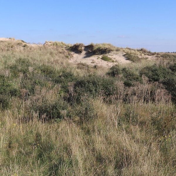
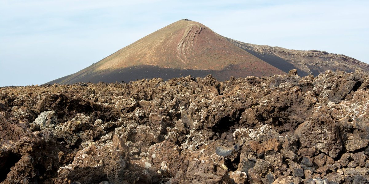
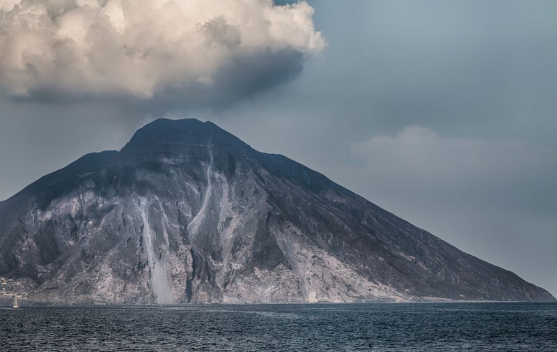
Everything that isn’t Red Sea island volcanism is a harrat — a basaltic lava field, usually made of hundreds of small scoria cones spread across tens of kilometers, rather than one tall cone you’d recognize as “a volcano.” Yemen has several: Dhamar in the central highlands, Arhab north of Sana’a, Bal Haf on the south coast, Bir Borhut in the southeast, and Harra es-Sawâd (also called Shuqra) running nearly 100 km along the Gulf of Aden with around 100 identified cones.
None of these have a confirmed Holocene eruption — meaning nothing in the last roughly 11,700 years that geologists can verify with certainty. Some carry historical reports (Dhamar has folklore-adjacent accounts from medieval chroniclers) that GVP flags as uncertain rather than confirmed. That’s a meaningful distinction: “dormant” means the plumbing that fed these fields is probably still down there, and harrat volcanism elsewhere in Arabia (Saudi Arabia’s Harrat Rahat erupted as recently as 1256 CE) shows these systems can wake up after centuries of silence. It doesn’t mean any of them are showing warning signs now.
Why the volcano count doesn’t match between sources {#count-discrepancy}
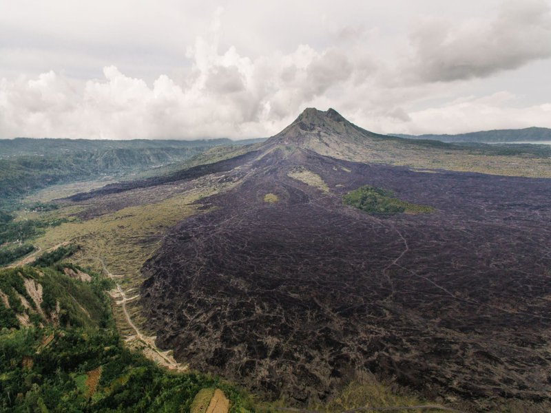
Ask two sources how many volcanoes Yemen has and you’ll get two different numbers, and the reason is definitional, not sloppy. Wikipedia’s “List of volcanoes in Yemen” counts 13 entries, pulling in individual named cones, sub-features, and some islands separately. The GVP database, which is what working volcanologists cite, groups related vents into single volcanic systems and lists around 10 — the Zubair Group, for instance, counts as one system even though Sholan and Jadid are physically separate islands formed years apart.
Neither number is wrong. Wikipedia is counting geographic features; GVP is counting geologically distinct magmatic systems. It’s the same reason a “how many volcanoes does Indonesia have” question gets answers ranging from 130 to over 400 depending on whether you’re counting individual cones or eruptive centers. For Yemen specifically, if you want the number that predicts eruption risk, use GVP’s system-based count — it’s the one that maps onto actual monitoring.
The tectonics behind it: a triple junction pulling apart {#tectonics}
Yemen’s volcanoes exist because of one of the more dramatic pieces of real estate on the planet: the Afar Triple Junction, where three tectonic plates — Arabian, Nubian, and Somalian — are pulling away from each other simultaneously. That three-way stretch is actively splitting the Red Sea and the Gulf of Aden open, millimeters at a time, and it’s the same rifting system that’s slowly tearing East Africa apart along the Great Rift Valley.
The Red Sea itself is a young ocean in the making — a crack in the crust that’s been widening for roughly 30 million years and is still thin and weak enough for magma to punch through easily. That’s why Jebel al-Tair and the Zubair Group, sitting directly on the rift axis, are the parts of Yemen still producing fresh lava: they’re on the seam. The mainland harrat fields sit further from that active spreading axis, on older, thicker crust, which is a large part of why they’ve stayed quiet for so much longer.
Is Yemen volcanically active, really? {#is-yemen-active}
Yes, technically — two of its volcanoes have erupted within the last two decades, which by any geological standard counts as active. But “Yemen is volcanically active” and “Yemen has volcanic risk you need to plan around” are different claims. Both active systems are on remote, largely uninhabited Red Sea islands, not near population centers. If you’re asking because you’re planning travel to mainland Yemen, the volcanic hazard isn’t what should be on your radar — the ongoing conflict and travel advisories are the relevant risk, and volcanoes don’t factor into it.
If you’re asking out of geological curiosity, the honest framing is this: Yemen sits on one of the most active rifting boundaries on Earth, it has produced two new islands in the last 15 years, and the same tectonic forces are quietly working on the mainland fields too — just on a timescale that isn’t going to matter this century.