Table of Contents
- Quick Answer
- What “Volcanoes in Sweden” Actually Means
- Two Eruption Phases, 80 Million Years Apart
- Why Skåne, of All Places
- What You Can Actually See Today
- Visiting the Volcanoes: A Practical Guide
- The Fossils Hiding Inside the Ash
- The Search Is Still Going
Quick Answer
Sweden has no active volcanoes, and hasn’t for roughly 110 million years. But the southern province of Skåne sits on top of one of the densest fields of extinct volcanic remnants in Europe — more than 200 basalt plugs and necks, the fossilized throats of volcanoes that erupted while dinosaurs were still a going concern. You can hike up several of them today, and a handful even preserve fern fossils down to the cell wall.
What “Volcanoes in Sweden” Actually Means
Nobody’s watching a lava dome in Skåne with binoculars. What’s there instead are volcanic necks: the hardened plug of magma that once filled a volcano’s central pipe. Everything around that plug — the cone, the ash layers, the crater rim — eroded away over tens of millions of years, the way wind and water erode everything eventually. What’s left is the core, standing slightly proud of the surrounding farmland because basalt resists weathering better than the sandstone and shale around it.
Geologists mapped over a hundred of these necks decades ago; more recent surveys, including the ones cited by a Jurassic volcanism study in GFF, put the count above 200 across the Central Skåne Volcanic Province. Most are small, buried, or barely a bump in a field. A few — Rallate, Jällabjär, Söndraby — broke the surface enough to hike.
None of this is speculative or fringe. It’s mainstream Swedish geology, taught at Lund University, published in peer-reviewed journals, and visible in outcrop. The surprise is just that most people, Swedes included, never hear about it.
Two Eruption Phases, 80 Million Years Apart
The volcanism didn’t happen in one event. It came in two separate pulses, separated by roughly 80 million years of quiet.
The main phase ran from the late Sinemurian into the Toarcian — about 191 to 178 million years ago, deep in the Early Jurassic. This is the bulk of the field: strombolian-style eruptions, the kind that throw ash, lapilli, and gas rather than producing dramatic lava flows, punching through a landscape that at the time sat closer to the equator and looked more Mediterranean than Scandinavian.
Then, after a long silence, a second and smaller pulse hit in the late Early Cretaceous, around 110 million years ago (the Albian stage). Rallate — the most-visited of the volcanic hills today — belongs to this younger phase, which is part of why its basalt columns are some of the best-preserved in the province.
Why Skåne, of All Places
The volcanism traces back to the breakup of Pangea. As the supercontinent pulled apart, the crust under what’s now southern Sweden stretched and thinned along a network of rift faults, and Skåne sat right at an intersection of several of them. Thinned, faulted crust is exactly where magma finds a path upward, which is the same basic mechanism behind the much larger Karoo-Ferrar flood basalts in southern Africa — Skåne’s field is a minor cousin of that same continental rifting, not a coincidence sitting next to it.
That fault intersection is also why the volcanoes cluster so tightly around central Skåne rather than scattering across Sweden. Move outside that rift zone and the volcanic necks essentially disappear.
What You Can Actually See Today
Two features do most of the visible work.
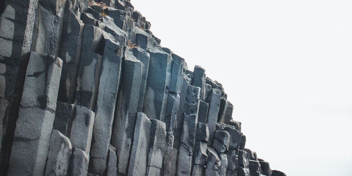
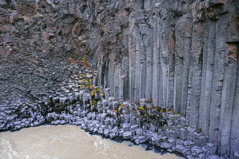
Basalt columns. At sites like Rallate, cooling lava inside the volcanic vent cracked into tightly packed pentagonal and hexagonal columns, each roughly 20–30 centimeters across and about a meter long. They now lie exposed at an angle, tipped from their original vertical orientation by millions of years of erosion and settling — a texture geologists call columnar jointing, the same process behind Giant’s Causeway in Northern Ireland, just on a smaller, quieter scale.
Green hills that don’t belong. Jällabjär rises about 50 meters above the surrounding farmland north of Röstånga, standing out precisely because basalt erodes slower than the softer rock it punched through. From a distance it just looks like a hill. Up close, the beech forest sits on the eroded stump of something that used to spit ash.
Visiting the Volcanoes: A Practical Guide
If you’re planning a trip rather than just satisfying curiosity, these are the sites worth the drive.
Rallate, inside Söderåsen National Park, is the most rewarding single stop. The loop trail runs about 4.5 km with roughly 210 meters of elevation gain — a moderate 1.5 to 2-hour hike — and ends at the exposed basalt columns lying in a tilted depression near the summit. It’s the clearest, closest look at a volcanic neck in the entire province.
Jällabjär, near Röstånga, is a shorter loop through beech forest, marsh, and pasture before opening onto views from the summit. The Skåneleden long-distance trail (the Ås till Ås route, marked in orange) runs directly through it, so it’s easy to combine with a longer day hike if you’re already on that trail network.
Korsaröd, southeast of Höör, doesn’t have marked hiking infrastructure the way Rallate and Jällabjär do — it’s more of a research site than a tourist stop — but it’s worth knowing about for what it preserves underground (more on that below).
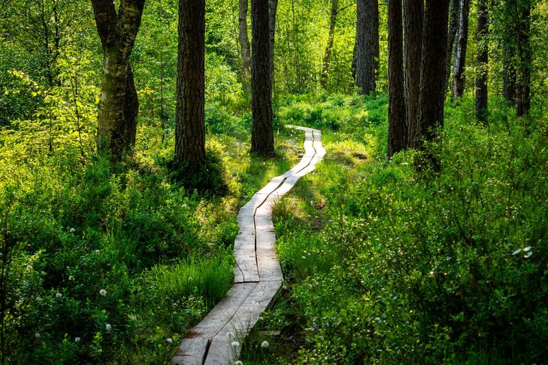
Go between late spring and early autumn. The trails aren’t technical, but exposed basalt gets slick, and Söderåsen’s beech canopy means the forest floor stays damp well after rain elsewhere in Skåne has dried out.
The Fossils Hiding Inside the Ash
Korsaröd is the quiet standout of the whole province, even though it isn’t a hiking destination. During the main Jurassic eruption phase, volcanic mudflows — lahars — buried royal ferns (Osmundaceae) in ash and debris. Hydrothermal fluids moving through that ash then did something unusual: they precipitated minerals into the plant tissue fast enough to preserve individual cell walls before decay could erase them.
Researchers from the Swedish Museum of Natural History and Lund University have used those Korsaröd specimens to study how Jurassic plant life responded to active volcanism nearby, work published in Geological Society, London, Special Publications. It’s a rare case where the same eruption that destroyed a landscape also preserved, in exceptional detail, exactly what that landscape looked like the moment before.
The Search Is Still Going
Skåne’s volcanic field isn’t fully mapped. New necks turn up periodically when a farmer plows into unusually dark, dense rock, or when Region Skåne’s Skåneleden trail authority documents outcrops along trail corridors that hadn’t been formally logged. Amateur geology groups still comb the province looking for necks the original 20th-century surveys missed, which is part of why the count has crept up over the decades rather than settling at a fixed number.
So the honest answer to “does Sweden have volcanoes” is layered: no active ones, nothing you’d ever evacuate for, nothing that’s erupted since before flowering plants existed. But under a few hundred square kilometers of Skåne farmland, there’s a genuinely dense, genuinely ancient volcanic field — and unlike most volcanic remnants this old, you can walk up and put your hand on it.