Short answer: no, not the kind you’re picturing. There’s no cone-shaped mountain in Lesotho waiting to erupt, no lava lake, no smoking crater you can hike up to. But the “Kingdom in the Sky” is, in a very real sense, a fossilized volcanic landscape — you’re just looking at the aftermath of an eruption that ended roughly 180 million years ago.
Table of Contents
- Lesotho’s Jagged Terrain Isn’t From Cone Volcanoes
- The Karoo Flood Basalts: A Continent-Sized Eruption
- What’s Actually Under the Highlands
- The 1983 Lesotho Volcanic Event
- Kimberlite Pipes and the Diamond Connection
- How Lesotho Compares to Other Extinct Volcanic Landscapes
Lesotho’s Jagged Terrain Isn’t From Cone Volcanoes
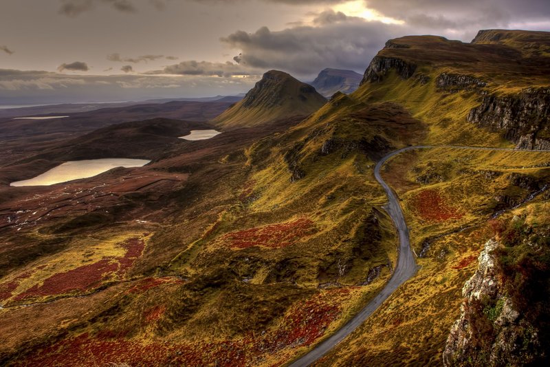
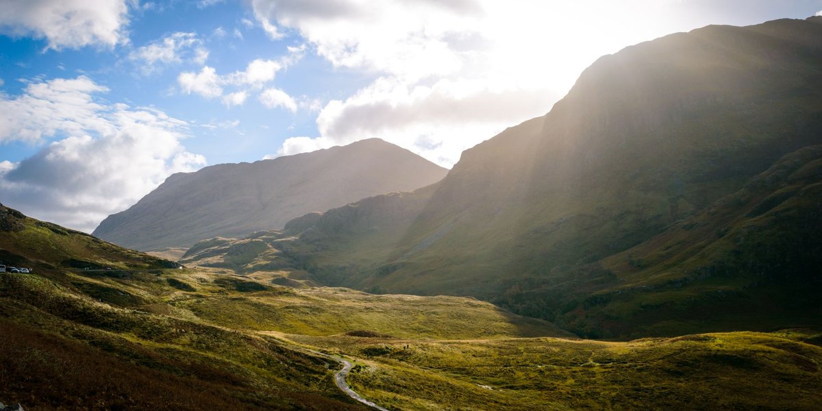
Lesotho earns nicknames like “Switzerland of Africa” for a reason. The entire country sits above 1,000 meters, and roughly 80% of it is over 1,800 meters — the highest low point of any nation on Earth. The Maloti and Drakensberg ranges carve the horizon into basalt cliffs, plateaus, and river gorges that look, from a distance, exactly like what you’d expect from a volcanic arc.
That resemblance is why a general geography reference site once claimed flatly that “no volcanoes exist” in Lesotho. That’s technically true if you’re asking whether there’s an active stratovolcano — there isn’t — but it skips past the more interesting answer: the rock beneath every hiking trail in the country is volcanic rock, just not from a volcano shaped the way most people imagine one.
The Karoo Flood Basalts: A Continent-Sized Eruption
Around 183 million years ago, during the Early Jurassic, southern Africa sat at the center of one of the largest volcanic events in Earth’s history. Basalt didn’t erupt from a single peak — it poured out of long fissures in the crust, flow after flow, over a period geologists estimate at under a million years. This is called a flood basalt event, and the one that built Lesotho is known as the Karoo (or Karoo-Ferrar) large igneous province, part of the breakup of the supercontinent Gondwana.
The result: a lava pile in the Lesotho highlands that in places exceeds 1,600 meters thick, made up of more than 30 individual flows stacked on top of each other like pages in a book. Erosion over 180 million years has since carved that pile into the peaks and escarpments tourists photograph today — including the Sentinel and the Drakensberg’s famous Amphitheatre, just across the South African border. What looks like the work of individual volcanic cones is actually one enormous sheet of lava, sliced up by water and time.
What’s Actually Under the Highlands
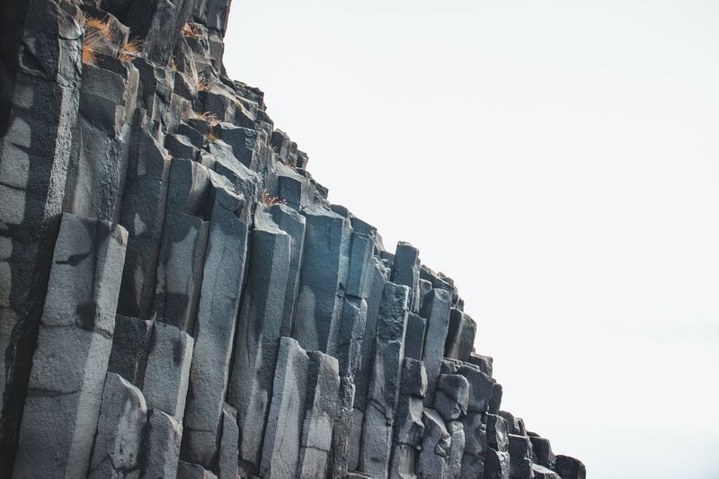
Wikipedia’s “Geology of Lesotho” page treats this in dense, stratigraphy-heavy language, and most readers bounce off it before they reach the interesting part. Strip away the jargon and here’s what’s actually down there: roughly 70 extinct volcanic vents, the plumbing that once fed magma up to the surface during the Karoo eruption, are preserved within Lesotho’s borders. Alongside them are over 1,000 dikes and sills — sheets of solidified magma that never made it to the surface, squeezed instead into cracks and horizontal layers within older rock.
None of this is visible as a mountain shape. It shows up as darker, harder rock bands exposed in road cuts and river gorges, or as slightly different erosion patterns where a vent’s tougher rock resisted weathering better than the basalt around it. If you’ve driven the Sani Pass and noticed a rock outcrop that looks distinctly different from the layered cliffs nearby, there’s a decent chance you were looking at one of these old feeder pipes.
The 1983 Lesotho Volcanic Event
Here’s the detail that barely exists anywhere outside paywalled journals: in 1983, a small volcanic event actually happened in Lesotho — not a Jurassic relic, a modern one. A magnitude 4.3 tremor near the Lesotho Highlands was followed by a localized lava extrusion, a genuinely rare occurrence in a region with no history of recent volcanism. Seismologists at the time treated it as an anomaly worth investigating rather than a sign of a reawakening volcanic system, and it never repeated at meaningful scale.
It’s a strange footnote precisely because Lesotho’s volcanism is supposed to be ancient history. The event doesn’t change the geological picture — this wasn’t the birth of a new volcano — but it’s a reminder that “extinct” and “completely inert” aren’t quite the same thing when you’re dealing with crust this thick and this old.
Kimberlite Pipes and the Diamond Connection
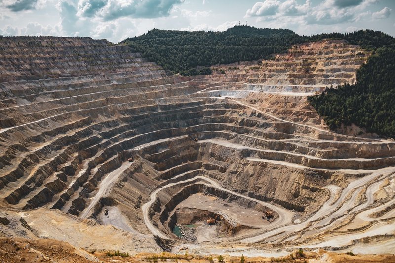
Lesotho’s volcanic history isn’t only about basalt. Scattered through the highlands are more than 400 kimberlite pipes — narrow, carrot-shaped volcanic conduits that formed when deep-source magma blasted up from the mantle, sometimes from depths of 150 kilometers or more, fast enough to carry diamonds to the surface without them converting back to graphite along the way.
This is why Lesotho, a country roughly the size of Maryland, punches so far above its weight in diamond mining. The Letšeng mine, one of the highest-altitude diamond mines in the world, sits atop one of these kimberlite pipes and has produced some of the largest gem-quality diamonds ever recovered, including a 603-carat stone found in 2006. The kimberlites are technically separate volcanic events from the Karoo basalts — they intruded later — but they’re part of the same broader story: this landscape has been volcanically active, in fits and starts, for a very long stretch of geological time.
How Lesotho Compares to Other Extinct Volcanic Landscapes
Lesotho belongs to a small club of places where ancient flood basalts, not living volcanoes, define the scenery. The Deccan Traps in India cover a similar role on a larger scale, tied to an eruption around 66 million years ago that overlaps with the end-Cretaceous extinction. Iceland’s older basalt plateaus, and the Columbia River Basalt Group in the American Pacific Northwest, follow the same pattern: massive, fissure-fed lava output that later erosion reshapes into cliffs, plateaus, and canyons people mistake for the product of classic cone volcanoes.
What sets Lesotho apart is scale relative to size. A tiny, landlocked country holds one of the thickest exposed sections of flood basalt on the planet, a documented 20th-century volcanic anomaly, and a diamond industry built entirely on volcanic plumbing from a completely different era. For a place regularly summarized in travel guides as “mountainous,” that’s a lot of buried eruption history sitting under the hiking trails.
According to the British Geological Survey’s overview of the Karoo-Ferrar province, large igneous provinces like this one rank among the most significant volcanic events in the geological record — not because of how they look today, but because of the sheer volume of material they moved in a geologically short window. Lesotho is what’s left after 180 million years of erosion did its work on one of those events. No cones, no craters you can circle on a map. Just basalt, all the way down.