TLDR
No, Madagascar has no confirmed historical eruptions — nobody alive has seen one of its volcanoes erupt, and none are on any active-eruption watchlist. But “no eruptions on record” isn’t the same as “extinct.” The island holds five volcanic fields — Ankaratra, Itasy, Ankaizina, Ambre-Bobaomby, and Nosy Be — and several are young enough, geologically speaking, that volcanologists classify them as dormant, not dead. The lava is old. The plumbing underneath might not be.
Table of Contents
- Why “no eruptions” doesn’t mean “no volcanoes”
- Ankaratra volcanic field
- Itasy volcanic field
- Ankaizina volcanic field
- Ambre-Bobaomby volcanic field
- Nosy Be volcanic field
- Why does an island nowhere near a plate boundary have volcanoes?
- Is it safe to visit?
Why “no eruptions” doesn’t mean “no volcanoes”
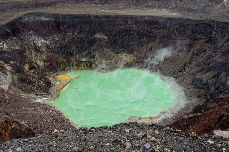
Here’s the confusion baked into every version of this question: people assume “active” means “currently erupting or about to.” Volcanologists mean something narrower and, in Madagascar’s case, more interesting. The Smithsonian’s Global Volcanism Program — the closest thing the field has to an official record — lists Madagascar’s volcanic fields as Holocene, meaning they’ve erupted within the last 11,700 years. That’s a blink of an eye in geological time and enough to keep every one of them off the “extinct” list.
None of Madagascar’s volcanoes have documented eruptions since humans started keeping written records on the island, which is a few centuries. Compare that to a genuinely dormant system like Yellowstone, where “dormant” spans hundreds of thousands of years, and Madagascar’s fields look almost restless by comparison — young rock, fresh-looking cinder cones, and craters that haven’t had time to erode into anonymity.
Ankaratra volcanic field
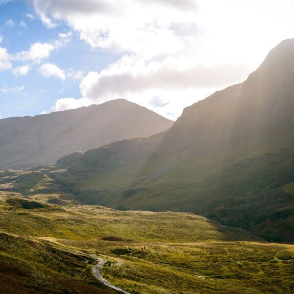
Ankaratra sits about 65 km southwest of Antananarivo, and it’s the one most visitors actually encounter, because you drive right past it on the way south from the capital. It’s Madagascar’s third-highest massif, topping out at Tsiafajavona at roughly 2,643 meters, and it’s built from a stack of basalt and trachyte flows that piled up over multiple eruptive phases.
The most recent activity here is estimated at under 3 million years for the bulk of the shield, with some flank features potentially younger — young enough that researchers keep it flagged rather than filed away. The terrain is a giveaway even without lab dates: rolling volcanic highlands, waterfalls cutting through old lava layers, and a cooler climate than the surrounding plateau because of the elevation.
Itasy volcanic field
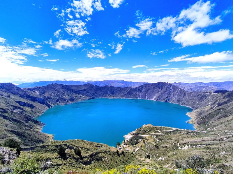
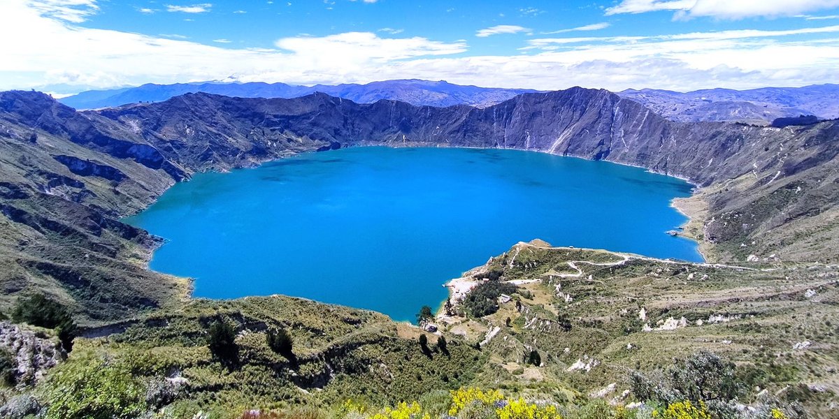
Itasy is the field with the best photographic evidence that something happened here recently. Lake Itasy itself formed when lava dammed a river valley, and the area is dotted with maars — explosion craters, several now filled with water, including Lake Andraikiba and Lake Amparihibe. Cinder cones with sharp, unweathered profiles stand out against the surrounding hills.
Geologists place Itasy’s most recent eruptive activity within roughly the last 8,000 to 10,000 years, which puts it firmly in the “young enough to matter” category. It’s the field most frequently cited when someone asks whether Madagascar could erupt again in a human timeframe.
Ankaizina volcanic field
Ankaizina, in the north-central highlands near Bealanana, gets far less attention than Ankaratra or Itasy, partly because it’s harder to reach and partly because it’s less studied. What’s documented shows a cluster of cinder cones and lava flows spread across a broader upland area, tied to the same regional volcanic trend that runs down Madagascar’s spine.
Dating here is less precise than for the other fields, but the geomorphology — the fresh-looking cone shapes, the lack of deep erosion — puts it in the same Holocene-to-Pleistocene window as its neighbors.
Ambre-Bobaomby volcanic field
At Madagascar’s northern tip, near Diego Suarez (Antsiranana) and Cap d’Ambre, this field is smaller and more isolated from the central highland chain. It includes Montagne d’Ambre, whose name literally references the volcanic terrain, now protected as a national park known for rainforest, lemurs, and crater lakes rather than for its geology.
The volcanic material here is older on average than Itasy’s, but the field is still classified as Holocene by the Smithsonian’s inventory, keeping it in the “dormant, not extinct” bracket alongside the rest.
Nosy Be volcanic field
Nosy Be, the popular tourist island off Madagascar’s northwest coast, sits on its own small volcanic field, distinct from the mainland fields. The island’s low hills and several crater lakes, including Lac Amparihibe and Lac Anjavimbe, trace back to this activity.
It’s a strange split for visitors: people fly to Nosy Be for beaches and diving, walk past crater lakes on day trips, and have no idea they’re standing on the same category of geological feature that produces Iceland’s tourist attractions — just a much older, quieter version.
Why does an island nowhere near a plate boundary have volcanoes?
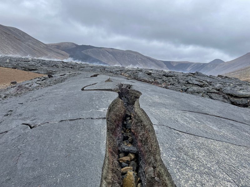
This is the actual scientific puzzle, and it’s the part most reference pages skip. Most of the world’s volcanoes cluster along tectonic plate boundaries — the Pacific Ring of Fire being the obvious example. Madagascar sits in the middle of a plate, hundreds of kilometers from any active boundary. That should mean no volcanism at all.
The leading explanation involves a mantle hotspot: a plume of unusually hot rock rising from deep in the mantle, independent of plate edges, the same mechanism blamed for Hawaii’s volcanoes forming mid-ocean. Research published via ScienceDaily points to a related process called lithospheric delamination, where a dense chunk of the base of Madagascar’s crust peeled away and sank into the mantle. That triggered hot material to well up and fill the gap, feeding the surface volcanism seen at Ankaratra and Itasy.
It’s a satisfying answer because it explains something odd about Madagascar’s geography too: the island broke away from the African and Indian landmasses roughly 88 million years ago and has been drifting on its own since, isolated enough to produce lemurs found nowhere else on Earth. The same isolation that gave the island its unique biology also left its geology exposed to processes that plate-boundary volcanoes never have to deal with.
Is it safe to visit?
Yes, comfortably. ThinkHazard’s assessment for Madagascar rates volcanic hazard as low across the country, which tracks with the total absence of eruptions in recorded history. Nobody is monitoring Ankaratra for an imminent event, and there’s no evacuation plan or warning system because there’s nothing currently indicating unrest.
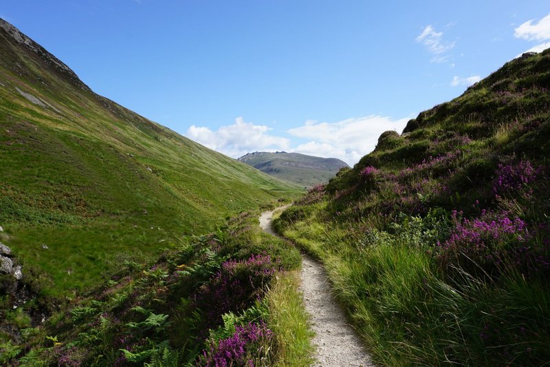
Ankaratra is the most accessible field for travelers and a legitimate hiking destination. Trails up toward Tsiafajavona pass through highland grassland and patches of forest, with waterfalls along several routes — Ambatolampy is the usual jumping-off town. Itasy makes a good day trip from Antananarivo if you want to see the maars and crater lakes without committing to a multi-day hike; the lake itself is popular for boating and lakeside lunch stops.
The practical risk in the region has nothing to do with lava. It’s the terrain and weather: highland trails can turn slick and cold fast, and infrastructure thins out once you’re off the main routes. Bring a guide for anything beyond the well-trodden Ankaratra paths, and treat this as you would any remote highland trek — not as a volcano-watch expedition.