Caves in Chad: No documented caves meet this list
Do not expect a traditional list of “caves in Chad.” A search for named, mapped, visit-ready caves in Chad returns no entries that meet strict criteria for a cave (mapped GPS, access info, archaeological or geological reports, and visitor guidance).
Understand why this happens. Chad is mostly sandstone plateaus, volcanic massifs, and desert mesas. Those rocks erode into open arches, cliffs, and shallow rock shelters rather than deep karst caves. Much of the country is arid, so there is little groundwater to carve long cave systems. Add sparse fieldwork, limited published surveys, and security and access limits, and you get few well-documented cave sites. Do not find a neat set of cave names with GPS coordinates and visitor details because the natural setting and the research gaps create an empty result.
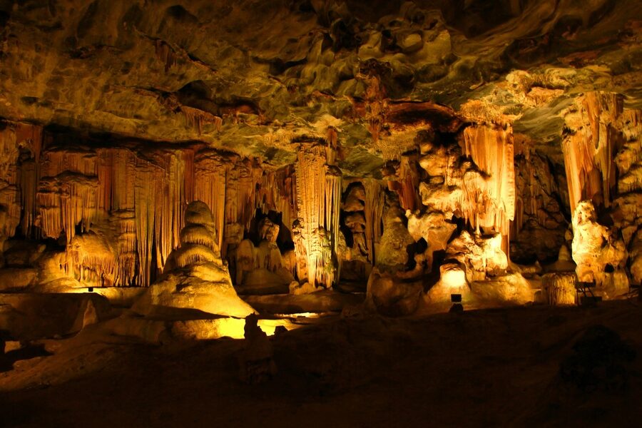
Consider close matches instead. The Ennedi Plateau contains many rock shelters, arches, and rich rock art (see Guelta d’Archei and the Ennedi World Heritage area). The Tibesti massif has remote volcanic peaks, fissures, and reported rock shelters used by local Toubou people and by explorers, but no widely published cave inventories. The Borkou / Ounianga region features gorges, wadis, and permanent water holes rather than classic caves. These sites offer archaeological, scenic, and geological interest and are the best near matches for what people mean by “caves in Chad.”
Focus your research on these alternatives. Look for Ennedi rock art studies, Tibesti expedition reports, UNESCO pages for Ennedi and Ounianga, satellite maps, and expedition blogs. Those sources give real locations, photos, and access notes that travelers, archaeologists, and geologists can use instead of a conventional cave list.