Earth’s climates shape where we live, what we grow, and how ecosystems function, from coastal plains to mountain tops. Understanding the full spectrum of climate types helps with everything from gardening and planning trips to studying biodiversity and infrastructure risks.
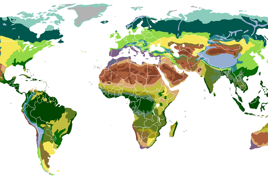
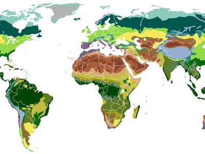
There are 25 Climate Zones, ranging from Alpine (highland) to Tundra (polar). For each zone I list Code,Key traits (°C / mm/yr),Typical regions so you’ll find below a clear, comparable table of temperature and precipitation characteristics and the regions where each zone occurs.
How do these zones differ in temperature and rainfall?
Each zone groups areas with similar long-term averages and seasonal patterns; the Key traits (°C / mm/yr) column summarizes mean temperatures and annual precipitation so you can quickly see, for example, how a Mediterranean climate’s dry summer differs from a temperate zone’s evenly distributed rainfall.
How can I use the codes and regions in the table for practical planning?
Use the Code to cross-reference zones in maps or datasets, then check Typical regions to match a destination or study site; combining Code, Key traits (°C / mm/yr), Typical regions lets you compare climates for travel, research, or land-use decisions—details you’ll find below.
Climate Zones
| Name | Code | Key traits (°C / mm/yr) | Typical regions |
|---|---|---|---|
| Tropical rainforest | Af | 25–28°C / 2,000–4,000 mm/yr | Amazon (Brazil), Congo (DRC), Singapore |
| Tropical monsoon | Am | 24–28°C / 1,500–3,500 mm/yr | Mumbai (India), Yangon (Myanmar), Monsoon coasts SE Asia |
| Tropical savanna (wet‑dry) | Aw | 20–28°C / 600–1,200 mm/yr | Nairobi (Kenya), Brasília (Brazil), northern Australia |
| Hot desert | BWh | 20–30°C (extremes >40°C) / <250 mm/yr | Sahara (Egypt), Arabian Peninsula, Death Valley (USA) |
| Cold desert | BWk | -2–18°C / <250 mm/yr | Gobi (Mongolia), Patagonian rain shadow (Argentina), parts Central Asia |
| Hot semi‑arid (steppe) | BSh | 18–28°C / 250–600 mm/yr | Sahel (Senegal), parts Australia, interior India |
| Cold semi‑arid (steppe) | BSk | -5–18°C / 200–500 mm/yr | Great Plains (USA), Central Asia, Patagonia |
| Mediterranean (warm‑dry summer) | Csa/Csb | 10–20°C / 300–900 mm/yr (winter concentrated) | Mediterranean Basin, California (USA), central Chile |
| Humid subtropical | Cfa | 15–22°C / 800–1,600 mm/yr | Southeastern USA (Atlanta), eastern China, Buenos Aires |
| Oceanic (marine west coast) | Cfb/Cfc | 8–15°C / 600–2,000 mm/yr | Western Europe (London), Vancouver (Canada), New Zealand |
| Subpolar oceanic | Cfc | 2–9°C / 600–2,000 mm/yr | Iceland, Faroe Islands, western Scotland |
| Subtropical highland (monsoon‑influenced) | Cwb/Cwc | 10–18°C / 600–1,200 mm/yr | Ethiopian Highlands, Quito (Ecuador), Mexico City (Mexico) |
| Humid continental (warm‑summer) | Dfa/Dfb | -5–12°C / 500–1,200 mm/yr | Midwestern USA, Eastern Europe, Northeast China |
| Humid continental (cold‑summer) | Dsa/Dsb/Dsc | -8–8°C / 300–1,000 mm/yr | Interior Scandinavia, parts Siberia, interior North America |
| Subarctic (boreal continental) | Dfc/Dfd/Dsc/Dsd | -10–2°C / 200–800 mm/yr | Siberia (Yakutsk), Northern Canada, interior Scandinavia |
| Tundra (polar) | ET | -5–5°C / 100–600 mm/yr | Arctic coasts (Canada, Russia), Svalbard, northern Alaska |
| Ice cap | EF | <0°C (year-round) / <200 mm/yr (snow) | Antarctica interior, Greenland ice sheet |
| Alpine (highland) | H or altitude‑modified Köppen | Variable with elevation; temperature drops ~6°C per 1,000 m / precipitation variable | Himalaya, Andes, European Alps |
| Polar maritime | ET/EF transitional | -2–4°C / 200–1,200 mm/yr | South Georgia, northern Iceland, coastal Antarctica islands |
| Cold‑summer Mediterranean (cool‑summer) | Csb | 8–16°C / 300–800 mm/yr | Central Chile highlands, parts coastal California, coastal Portugal |
| Arid cold polar desert | BWk (polar variant) | -10–10°C / <200 mm/yr | Interior Greenland margins, some Antarctic coastal deserts |
| Steppe (temperate) | BSk/BSh (temperate form) | -2–18°C / 200–600 mm/yr | Eurasian Steppe, Pampas (Argentina), Great Plains (USA) |
| Monsoon‑influenced tropical highland | Cwb (equatorial high) | 10–18°C / 800–2,000 mm/yr | Kilimanjaro slopes, Colombian Andes, Kenyan highlands |
| Mediterranean‑inland continental (dry‑summer continental) | Dsa/Dsb | -5–15°C / 300–800 mm/yr | Eastern Anatolia, interior west USA mountain basins, parts Turkey |
| Oceanic cold‑summer (subantarctic) | Cfc/ET blend | 0–8°C / 600–2,000 mm/yr | South Chile (Islas), Falklands, southern New Zealand islands |
Images and Descriptions

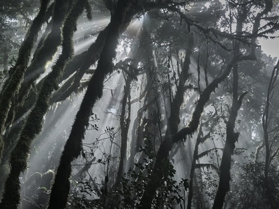
Tropical rainforest
Year-round hot, very wet climate with small seasonal temperature change, heavy convective rainfall driven by constant solar heating and moisture convergence; notable for dense cloud cover, very high annual rainfall and humid conditions.

Tropical monsoon
Marked by a strong wet season and a short drier period; seasonal wind reversals (monsoons) bring extreme rainfall in wet months and high humidity, with consistently warm temperatures most of the year.

Tropical savanna (wet‑dry)
Distinct wet and long dry seasons with warm to hot temperatures year-round; driven by shifting Intertropical Convergence Zone and trade winds, supporting grassland landscapes between rainforests and arid zones.
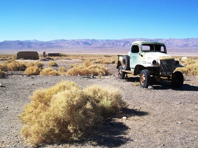
Hot desert
Very low annual rainfall, high daytime temperatures and large diurnal ranges; sunshine-dominated regions where evaporation greatly exceeds precipitation, often dominated by subtropical high-pressure systems.
Cold desert
Low precipitation with cold winters and warm summers; continental interiors or rain-shadow basins produce arid conditions with strong seasonal temperature swings and limited moisture.
Hot semi‑arid (steppe)
Transitional climate between desert and more humid areas; hot temperatures and seasonal rainfall that support grasslands and sparse shrubland, sensitive to drought and land‑use change.
Cold semi‑arid (steppe)
Dry continental climate with colder winters than BSh; limited precipitation mostly in warmer months, creating vast grasslands and steppe landscapes at mid to high latitudes.
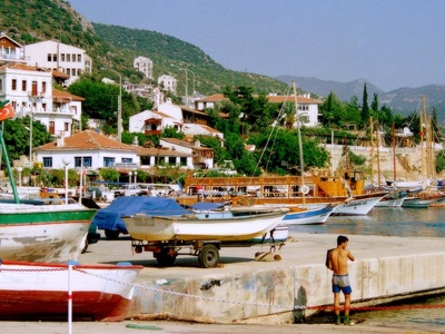
Mediterranean (warm‑dry summer)
Mild, wet winters and hot or warm, dry summers caused by shifting westerlies and subtropical highs; famous for dry-season fire risk and highly seasonal rainfall patterns.
Humid subtropical
Warm to hot summers with humidity and mild winters; precipitation fairly evenly distributed or summer‑peaked from convective storms and tropical influences, supporting diverse agriculture and dense populations.
Oceanic (marine west coast)
Moderate temperatures year-round with small seasonal range and frequent precipitation driven by maritime air masses and midlatitude cyclones; cool summers and mild winters compared with continental interiors.
Subpolar oceanic
Cool, wet maritime climate with short, cool summers and mild winters relative to latitude; strong oceanic influence, persistent cloudiness and frequent frontal precipitation.
Subtropical highland (monsoon‑influenced)
Moderate temperatures due to elevation in tropical/subtropical latitudes; pronounced wet and dry seasons from monsoon or zonal circulation, common in mountainous plateaus near the tropics.
Humid continental (warm‑summer)
Large seasonal temperature contrasts with warm to hot summers and cold winters; precipitation year-round or summer-biased from convective storms, shaped by continentality and midlatitude cyclones.
Humid continental (cold‑summer)
Colder variant of continental climates with short, cool summers and long, cold winters; lower precipitation and strong seasonal temperature swings at higher latitudes or interior positions.
Subarctic (boreal continental)
Very cold winters, short cool summers and generally low precipitation concentrated in summer; often underlain by permafrost and supporting boreal forest or treeless tundra transition zones.
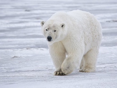
Tundra (polar)
Cold polar climate where at least one month averages above freezing but no month exceeds 10°C; limited vegetation, short growing season, and permafrost influence soils and hydrology.
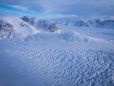
Ice cap
Permanent ice and snow cover with temperatures below freezing year-round; precipitation is very low (polar desert) and ice dynamics rather than rainfall govern landscape processes.
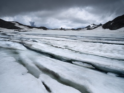
Alpine (highland)
Climate shaped primarily by elevation rather than latitude; cooler temperatures, stronger precipitation on windward slopes, and rapid changes over short distances—important for mountain ecosystems and water resources.
Polar maritime
Cold ocean-influenced polar climate with relatively mild winters for latitude and strong ocean-driven precipitation and winds; often foggy, with narrow temperature ranges and frequent storms.
Cold‑summer Mediterranean (cool‑summer)
Mediterranean precipitation pattern with cooler, milder summers than Csa; winter-dominant rainfall and summer dryness but overall lower summer temperatures due to elevation or oceanic influence.
Arid cold polar desert
Very low precipitation with cold mean annual temperatures; differs from ice cap by having exposed rocky or gravel surfaces rather than continuous ice, and strong winds and sublimation processes.
Steppe (temperate)
Grassland-producing semi‑arid climate between deserts and more humid zones; seasonal precipitation supports grasslands and agriculture but is vulnerable to interannual variability and grazing pressure.
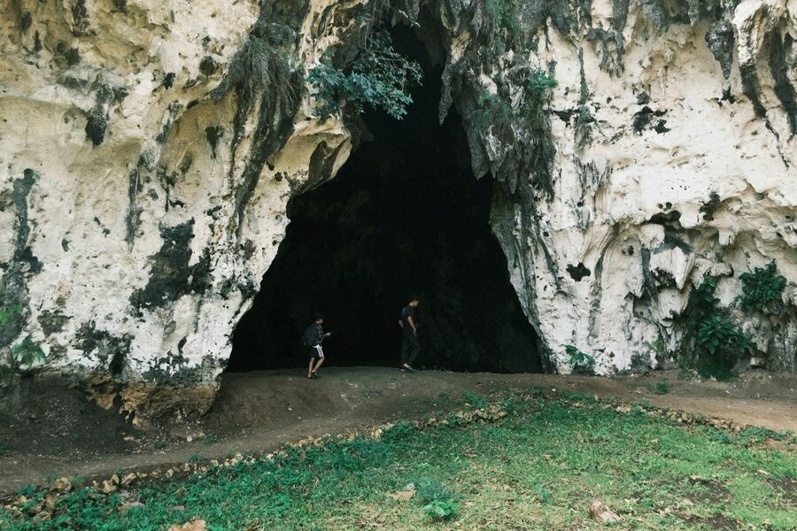
Monsoon‑influenced tropical highland
Elevated tropical zones with pronounced wet seasons driven by monsoon systems; cooler daytime temperatures than lowlands, steep microclimatic gradients and important water capture for lowland regions.
Mediterranean‑inland continental (dry‑summer continental)
Continental climates with a Mediterranean-style dry summer; colder winters than coastal Mediterranean areas due to inland location, producing a distinct seasonal precipitation pattern.
Oceanic cold‑summer (subantarctic)
Cold, windy maritime climate with cool summers and frequent precipitation; found on subantarctic islands and southern oceanic margins, influenced by cold currents and low solar input.