On March 11, 2011 a magnitude 9.0 earthquake off the coast of Japan triggered a devastating tsunami; just over a decade earlier, on May 18, 1980, Mount St. Helens erupted and reshaped a U.S. landscape in hours. Both events remind us that the solid Earth can change abruptly, but they do so for different reasons and with different warning signs. Understanding how volcanic eruptions versus seismic events behave matters for public safety, infrastructure planning, and scientific monitoring: engineers design buildings for shaking, while emergency managers plan evacuations for ash, lava, or lahars. Scientists monitor different signals and offer distinct kinds of forecasts, and communities use tailored preparedness measures. This article explains eight clear differences between these processes — from physical causes and materials to timing, predictability, hazards, and human responses — so readers can better grasp why one size of mitigation doesn’t fit all. First, we’ll examine the physical causes and mechanics behind each phenomenon.
Physical Causes and Mechanics
Volcanoes and earthquakes both arise from plate tectonics, but the mechanics and materials involved are very different. Volcanoes form when magma — molten rock mixed with dissolved gases — ascends from a chamber to the surface. Earthquakes occur when elastic strain builds in solid rock and is released suddenly along a fault plane.
Volcanic systems involve liquids and gases moving through rock; seismic rupture involves brittle failure of solid rock. Plate interactions control both: subduction commonly feeds volcanic arcs, while transform faults and megathrust boundaries generate many large quakes. Examples include Mount St. Helens (May 18, 1980) for volcanic collapse and the 2011 Tōhoku earthquake (M9.0 on March 11, 2011) for a subduction-zone rupture.
1. Origin: Magma Ascent versus Fault Slip
Volcanoes originate when partial melting in the mantle or lower crust produces magma (roughly 700–1,200°C) that rises buoyantly. Earthquakes follow the elastic rebound theory: stress builds until rock fractures and slips, releasing seismic waves.
Magma temperatures, volatile content, and chamber pressure evolve over days to years; earthquakes may nucleate at depths from the near surface down to about 700 km in major subduction zones. In short: magma pressure accumulates relatively slowly, while rock rupture is abrupt and fast.
2. Energy Source and Materials
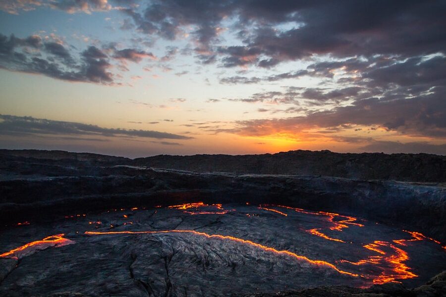
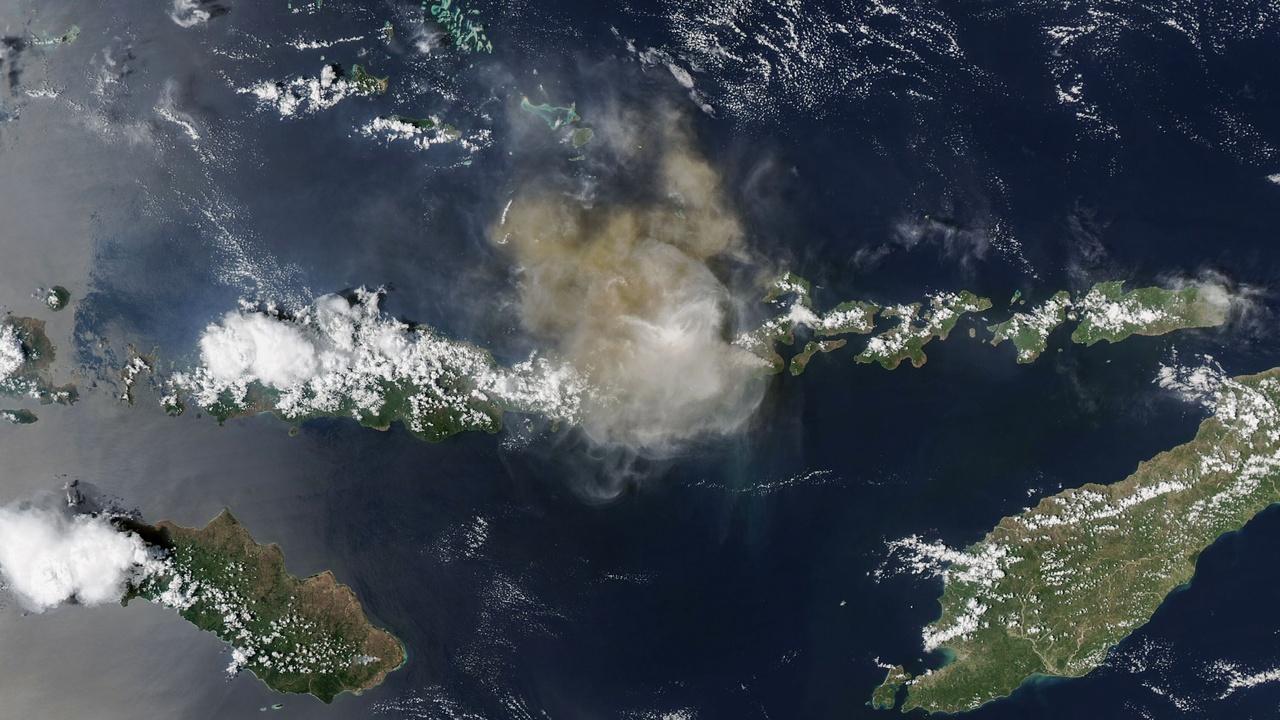
Volcanic energy comes from molten rock and exsolving gases; composition controls viscosity and eruption style. Basaltic lavas (~45–55% SiO₂) are fluid, rhyolitic magmas (~~70% SiO₂) are viscous and more explosive. Gas content (especially H₂O and CO₂) drives explosive behavior.
Earthquakes release stored elastic strain energy in solid rock. Seismic size is quantified by magnitude scales (moment magnitude, Mw), which are logarithmic: a one-unit increase equals roughly 32 times more energy release. Different materials produce different hazards — ash and pumice from eruptions, ground shaking and surface rupture from quakes.
3. Typical Depths and Tectonic Settings
Most active volcanoes cluster at subduction zones, rift zones, and hot spots; roughly 75% of active volcanoes are associated with subduction and the Pacific Ring of Fire. Mid-ocean ridges and intra-plate hotspots (like Hawaiʻi) host others.
Large earthquakes usually occur at plate boundaries — transform faults, subduction megathrusts, and continental collision zones — though intraplate quakes (for example the 1811–1812 New Madrid sequence) can still be significant. These spatial patterns shape hazard maps and planning priorities.
Timing, Predictability, and Signals
How volcanoes and earthquakes announce themselves differs markedly. Volcanoes often show measurable precursors — seismic swarms, ground uplift, and increased gas emissions — that give days to months of warning in many cases. By contrast, reliable short-term earthquake precursors are rare; instead, early warning systems detect initial P-waves and can provide seconds to a minute of notice.
Agencies like the USGS and JMA operate distinct monitoring networks and advisories tailored to each hazard, and historical examples show the value of both approaches: Mount Pinatubo (1991) used precursory unrest to guide evacuation, while Japan’s EEW provided vital seconds of warning during the 2011 quake.
4. Warning Signs and Monitoring Methods
Volcanoes commonly produce ground deformation (measurable by GPS and InSAR), harmonic tremor, and spikes in SO₂ and CO₂ emissions. Seismometers, gas sensors, and tiltmeters form the core of volcano monitoring, and uplift of days to weeks has preceded many eruptions.
Earthquake monitoring relies on dense seismograph networks and statistical seismicity analyses. While long-term probabilities can be estimated, consistent short-term precursors are lacking, so earthquake early warning systems focus on detecting P-waves and broadcasting alerts that buy seconds to minutes for automated shutdowns and protective actions.
5. Predictability and Forecasting
Eruption forecasting is probabilistic: scientists issue time-windowed forecasts and alert levels (USGS Volcano Alert Levels) based on monitoring trends, giving days to months of lead time for some events. Earthquake prediction remains probabilistic on longer timescales, with short-term prediction largely untenable.
Practical tools differ: probabilistic volcanic hazard assessments guide evacuations and aviation notices; earthquake models estimate likelihoods of shaking over years and EEW systems provide immediate but brief alerts in places like Mexico and Japan.
6. Duration of Events and Aftereffects
Earthquakes typically release most energy in seconds to minutes, followed by aftershocks that can continue for months or years (the 2011 Tōhoku aftershock sequence persisted for years). Eruptions can range from hours to decades — Kīlauea’s 2018 activity lasted months, while some volcanic centers erupt intermittently over centuries.
Duration shapes response: short, violent shaking demands rapid search-and-rescue and structural assessments; long-lived eruptions require sustained sheltering, ash removal, and monitoring of secondary hazards like lahars and crop impacts.
Impacts, Risks, and Human Response
The differences between volcano and earthquake hazards shape casualties, economic impacts, and the best mitigation strategies. Volcanic events often affect air travel, agriculture, and property through ash and lahars; earthquakes primarily damage buildings, lifelines, and can generate tsunamis with broad coastal impacts.
Examples show this contrast: the 2010 Eyjafjallajökull eruption grounded large portions of European airspace for days, disrupting commerce, while the 2004 Indian Ocean earthquake and tsunami (Dec 26, 2004) caused roughly 230,000 deaths across multiple countries and demonstrated the catastrophic coastal risk from seismic tsunamis.
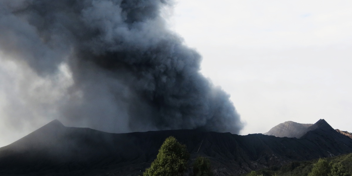
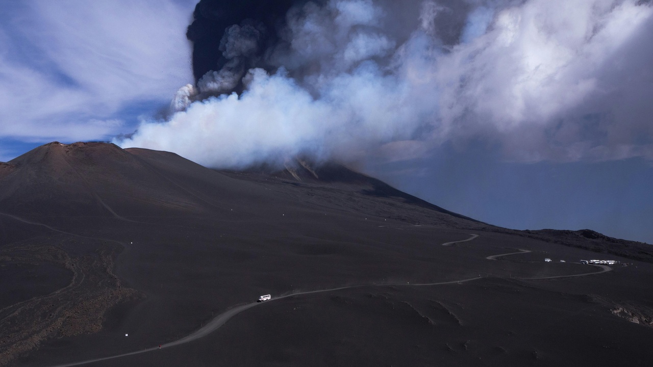
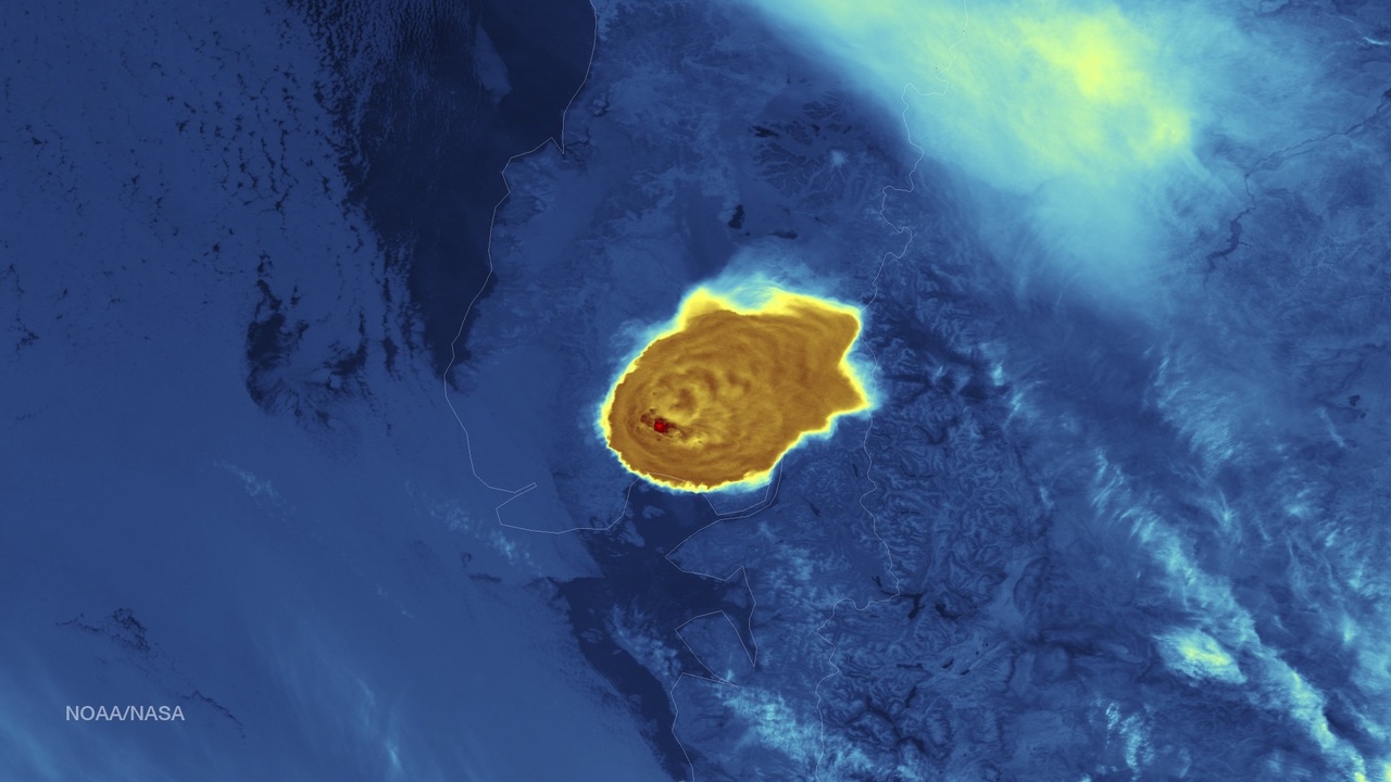
7. Hazards Produced: Ash, Lava, Pyroclasts versus Shaking and Tsunamis
Primary volcanic hazards include lava flows, pyroclastic density currents, ashfall, lahars, and toxic gases. These are material-driven and can smother infrastructure or make air travel unsafe. The 2010 Eyjafjallajökull ash cloud is a clear example of large-scale aviation disruption.
Earthquake hazards center on ground shaking, surface rupture, liquefaction, and tsunami generation. The 2004 Indian Ocean earthquake produced devastating tsunamis that affected coastlines thousands of kilometers away. Some events overlap — earthquakes can trigger landslides, and eruptions can trigger lahars or even tsunamis in rare cases.
8. Mitigation, Engineering, and Policy Responses
Mitigation strategies reflect each hazard’s nature: seismic-resistant design, base isolation, and strict building codes (as seen in Japan) reduce collapse risk from shaking. For volcanoes, hazard zoning, lahar channels, evacuation plans, ash-cleaning protocols, and aviation advisories (ICAO guidance) are central.
About 1,500 potentially active volcanoes worldwide demand ongoing monitoring, while roughly 10–20 magnitude 7+ earthquakes occur globally each year, underscoring different scales and frequencies. Policy tools — hazard maps, alert levels, and investment in monitoring networks (USGS, JMA) — must match the timeline of the hazard and the signals available.
Summary
- Causes and materials: magma ascent (molten rock and gases) versus brittle fault slip in solid rock.
- Predictability and signals: many eruptions show days-to-months of precursors; earthquakes usually give seconds-to-minutes via EEW rather than reliable long-term warnings.
- Hazards and duration: ash, lava, pyroclastic flows, and lahars can persist or recur; quakes bring sudden shaking and possible tsunamis with aftershock sequences lasting years.
- Preparedness differs: engineering and codes focus on seismic resilience, while volcano readiness relies on monitoring, zoning, evacuation, and aviation protocols — check local hazard maps and alerts (USGS, JMA).
- Practical step: learn the specific differences between volcano and earthquake hazards where you live, sign up for official alerts, and support strong monitoring and mitigation programs.