Luxembourg’s landscape may be small, but its mix of farmland, forests, water and mineral traces supports a surprising variety of local resources that shape regional land use and recreation. From rolling fields to reservoirs and river valleys, understanding what’s available helps planners, farmers and curious readers alike get a clearer picture of the country’s physical assets.
There are 15 Natural Resources of Luxembourg, ranging from Agricultural land to Upper Sûre Reservoir (Lac de la Haute-Sûre). For each entry you’ll find below the resource’s Type,Location (region),Extent / output (km2 or t/year) so you can compare scale and location at a glance — you’ll find below.
What qualifies as a natural resource in Luxembourg?
A natural resource here is any naturally occurring material or feature that has economic, ecological or social value — that includes arable land, forests, freshwater bodies, peat or minor mineral deposits, and managed green spaces; the list focuses on things that are measured or mapped for planning and use.
How reliable are the extent and output figures listed?
Figures are best viewed as indicative: they compile official and locally sourced estimates where available, but exact km2 or t/year can vary with survey methods, recent land-use changes and seasonal conditions, so check the original data source for precision.
Natural Resources of Luxembourg
| Name | Type | Location (region) | Extent / output (km2 or t/year) |
|---|---|---|---|
| Forests | forest | Ardennes (north), Oesling, Gutland (central/south) | 1,000 km2 |
| Agricultural land | agricultural land | Gutland, Moselle valley, central plateau | 1,150 km2 |
| Moselle vineyards | agricultural land | Moselle valley (cantons Grevenmacher, Remich) | 12 km2 |
| Upper Sûre Reservoir (Lac de la Haute-Sûre) | water | Northwest (canton Wiltz / Lac de la Haute-Sûre area) | 3.80 km2 |
| Iron ore (Minette deposits) | mineral | Red Lands (Terres Rouges): Esch-sur-Alzette, Differdange, Dudelange | historical peak ~5,000,000 t/year |
| Sand and gravel (aggregates) | mineral | Alluvial valleys, Gutland and Moselle floodplain quarries | ~1,000,000 t/year |
| Sandstone (building stone) | mineral | Mullerthal, central sandstone formations near Echternach and Mersch | ~200,000 t/year |
| Clay (brick and tile clay) | mineral | South and central lowlands (Gutland) | ~50,000 t/year |
| Groundwater aquifers (drinking water) | water | Nationwide aquifer recharge areas; fissured and porous formations in Gutland and Oesling | ~50,000,000 t/year (renewable abstraction scale) |
| Forest biomass (renewable wood supply) | renewable | Ardennes and Gutland forests | ~150,000 t/year (roundwood harvest) |
| Freshwater rivers (Sûre, Alzette, Our corridors) | water | Sûre/Sauer basin, Alzette (central), Our (northeast) | river corridors across much of country (river area small relative to land) |
| Protected peat bogs and wetlands | soil/water | Scattered sites in the Ardennes and northern Oesling | ~5 km2 |
| Thermal and shallow geothermal potential | renewable | Nationwide (urban heat networks focus in central regions) | limited commercial output; small-scale installations |
| Limestone and dolomite pockets (construction/aggregate) | mineral | Scattered central and northern outcrops | ~20,000 t/year |
| Biodiversity resources (forests, wetlands species) | renewable | National protected areas: Mullerthal, Upper Sûre, Oesling | area overlaps forests/wetlands above |
Images and Descriptions
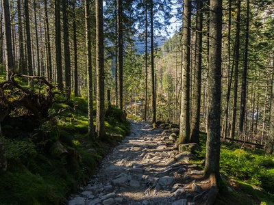
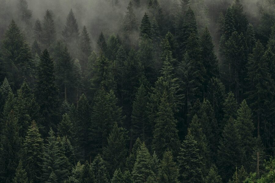
Forests
Covering roughly two-fifths of Luxembourg, forests supply timber and recreation. Concentrated in the Ardennes and Gutland, they support biodiversity, carbon storage and regulated harvests under national forestry plans and protected areas like Upper Sûre.
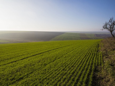
Agricultural land
Mixed cropland and pasture dominate Gutland and river valleys. Agriculture supports local food, livestock and vineyards; many farms are small, with ongoing EU-influenced conservation measures and soil management to limit erosion and runoff.
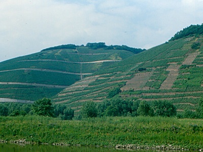
Moselle vineyards
Luxembourg’s notable wine region along the Moselle hosts about 1,200 hectares of vines producing Riesling and Crémant. Vineyards are economically important, managed intensively and subject to landscape and riverbank conservation rules.
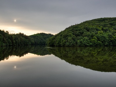
Upper Sûre Reservoir (Lac de la Haute-Sûre)
Primary drinking-water reservoir and recreational area, the Upper Sûre lake supplies municipalities and habitats. Managed for water quality and flood control, it is central to national conservation and limited hydropower considerations.

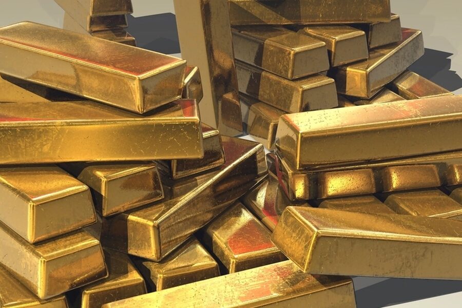
Iron ore (Minette deposits)
Low-grade iron ores powered Luxembourg’s steel industry through the 20th century; mines have closed, leaving cultural-industrial sites and ongoing land reclamation and monitoring rather than active large-scale extraction.
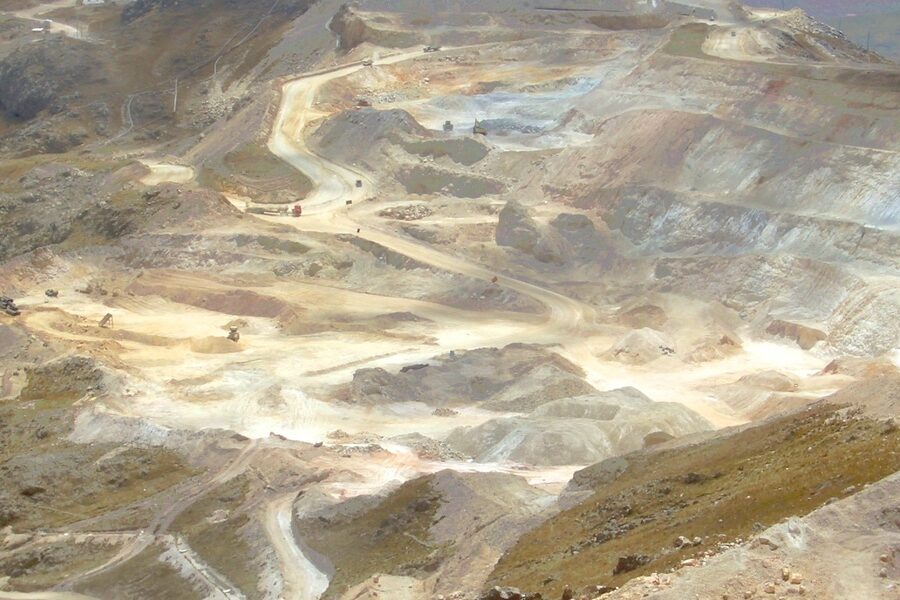
Sand and gravel (aggregates)
Widespread extraction for construction aggregates; economically important locally but subject to permitting, rehabilitation obligations and ecological mitigation in river corridors and agricultural landscapes.
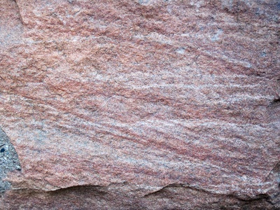
Sandstone (building stone)
Local Luxembourg Sandstone has historic use in buildings and restoration. Quarrying is modest, regulated for landscape impact, and supply supports heritage construction and limited export to neighbouring regions.
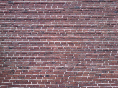
Clay (brick and tile clay)
Clay deposits have been used for traditional brick and tile manufacture. Production is small-scale today, with active site rehabilitation and occasional protected geological exposures within managed extraction zones.
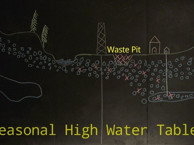
Groundwater aquifers (drinking water)
High-quality groundwater is the main potable water source; multiple aquifers supply towns and industry. Managed via protection zones, monitoring and abstraction limits to preserve quantity and quality.
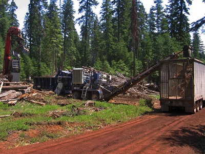
Forest biomass (renewable wood supply)
Sustainably managed forests provide timber and fuelwood. Annual harvests are regulated by national forestry plans to balance industry, biodiversity and recreation while increasing use of wood as a renewable energy and material source.
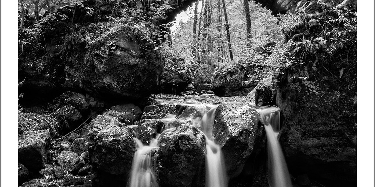
Freshwater rivers (Sûre, Alzette, Our corridors)
Rivers provide freshwater, ecosystem services and historical transport corridors. The Sûre is integral to reservoirs and habitats; riparian restoration and pollution controls are active conservation priorities.
Protected peat bogs and wetlands
Small, fragmented peatlands and marshes are valuable for biodiversity and carbon storage. Most are protected reserves with limited conservation-focused management to restore hydrology and prevent peat loss.
Thermal and shallow geothermal potential
Ground-source heat and shallow geothermal systems are used for district heating and individual buildings. Potential is modest; interest grows in urban heating and reducing fossil fuel use with regulatory pilot projects.
Limestone and dolomite pockets (construction/aggregate)
Local limestones and dolomites are quarried at small scale for construction and roadstone. Extraction is regulated and often balanced with landscape protection and post-quarry rehabilitation plans.
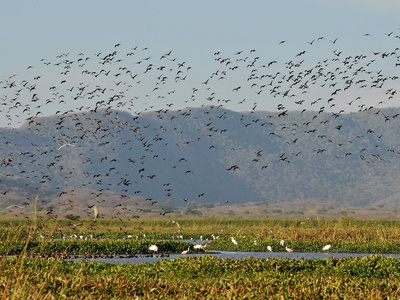
Biodiversity resources (forests, wetlands species)
Rich habitats provide pollination, genetic resources and tourism value. Conservation designations (Natura 2000, national parks) guide protection, limiting exploitation and supporting ecosystem services.