The May 18, 1980 eruption of Mount St. Helens reshaped how scientists, emergency managers, and planners think about living near volcanoes — and it kicked off advances that now protect airports, inform energy projects, and improve soil management. What started as a focus on saving lives quickly produced tools and products used beyond crisis zones: hazard maps that steer where we build, sensors that alert communities, and studies that help utilities and farmers make better choices. For everyday readers, that matters because these developments affect public safety, travel reliability, energy costs, and even the durability of the materials in our homes. Volcanology isn’t just for emergency response; it yields practical outputs that touch daily life, and the sections below include concrete examples and numbers (for instance, the 2010 Eyjafjallajökull flight disruptions and Iceland’s geothermal share).
Public safety & infrastructure
Volcano science protects people and the systems we depend on by turning raw measurements into decisions: where to send evacuation alerts, which roads to close, and how to design bridges and pipelines to avoid known hazard zones. Agencies such as the USGS Volcano Hazards Program and regional observatories produce monitoring data and hazard maps that planners use daily. The Mount St. Helens episode in 1980 was a watershed for modern monitoring, and more recent events (the 2010 Eyjafjallajökull ash cloud) showed how volcanic hazards can disrupt aviation and infrastructure far beyond local borders.
1. Early warning systems that protect communities
Seismic networks, gas sensors, and ground-deformation measurements give volcanologists the lead time needed to warn the public before eruptions escalate. After the 1980 Mount St. Helens crisis, observatories expanded continuous monitoring and formalized alert levels that guide officials. Today, USGS Volcano Alert Levels and local notices are used to justify evacuation orders, close roads, and pre-position emergency teams.
Those systems save lives by converting raw signals into actionable steps: if seismic activity spikes and deformation accelerates, authorities can close access to valleys at risk of lahars, suspend tours, or evacuate towns. For credibility and up-to-date guidance, national observatories remain the primary sources for alerts and public instructions.
2. Hazard mapping and smarter land-use planning
Volcanology produces hazard maps that classify zones for lava flows, pyroclastic surges, lahars, and ash fall — and planners use those maps when siting schools, roads, and utilities. Organizations such as USGS and New Zealand’s GNS Science publish maps that show likely flow pathways and ash-fall probabilities.
For example, lahar maps around Mount Rainier have changed how counties zone lowland corridors and locate critical infrastructure, steering new development away from high-risk paths. The everyday payoff is safer neighborhoods, clearer insurance guidance, and infrastructure placed to minimize disruption during volcanic crises.
3. Aviation safety and ash forecasting
Volcanic ash is an invisible but severe hazard for jet engines and airframes, so volcanology supports ash-dispersion models and formal advisories used by airlines and air-traffic controllers. The 2010 Eyjafjallajökull eruption led to roughly 100,000 flight cancellations and industry losses estimated at about US$1.7 billion, according to IATA.
Volcanic Ash Advisory Centers (VAACs) produce SIGMETs and forecasts that let carriers reroute flights, close runways temporarily, or ground operations when ash concentrations are dangerous. Those systems preserve passenger safety while helping the aviation industry limit needless closures.
Energy & natural resources
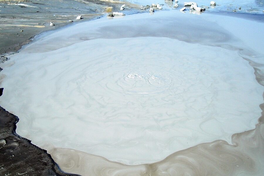
Heat and materials from volcanic systems are practical inputs to modern economies. Volcanology helps locate geothermal reservoirs, guides mineral exploration around hydrothermal systems, and identifies volcanic rock and ash useful in construction. Institutions such as the IEA and national geothermal agencies track deployment and performance; one striking national example is Iceland, where roughly 25% of electricity comes from geothermal sources.
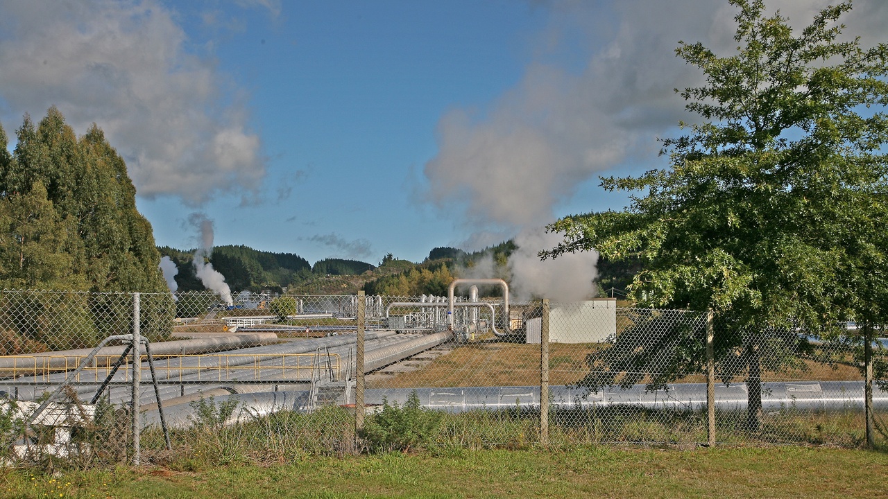
4. Geothermal energy: clean heat from volcanic systems
Volcanologists identify and characterize hydrothermal systems that become geothermal reservoirs for electricity and district heating. Resource assessment — mapping permeability, temperature, and fluid chemistry — is what lets developers build reliable plants such as Hellisheiði in Iceland.
Iceland is a clear example: geothermal supplies about a quarter of the country’s electricity and a far larger share of direct heating needs, reducing fossil-fuel use and stabilizing local energy bills. Agencies like the IEA and national energy offices publish data that planners use when evaluating new projects.
5. Mineral and ore exploration guided by volcanic geology
Many copper, gold, and rare-metal deposits form in volcanic and hydrothermal settings. Volcanologists and economic geologists use field mapping, geochemistry, and geophysical surveys to locate porphyry copper systems and epithermal gold veins tied to past volcanic activity.
Those discoveries feed industries that produce electronics, power grids, and construction materials. Mining companies and national geological surveys rely on volcanic-geology models to prioritize targets and reduce exploration risk, which has downstream impacts on jobs and supply chains.
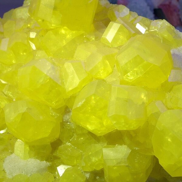
6. Volcanic materials in construction and manufacturing
Volcanic products such as pumice, scoria, and ash have long practical uses. Pumice and scoria make lightweight concrete blocks and insulation; volcanic ash serves as a pozzolan that improves cement durability; and volcanic glass is used as an abrasive or filtration medium.
The Romans famously used volcanic ash (pozzolana) to make structures that have lasted millennia, and modern pozzolanic additives still improve concrete performance today. Everyday products — from horticultural growing media to pumice-based exfoliants — trace back to volcanic materials.
Environment, agriculture & climate
Volcanic processes both disrupt and enrich natural systems. Fresh ash can damage crops and water supplies, yet weathered volcanic deposits create some of the world’s most fertile soils. Volcanic aerosols also serve as measurable natural forcings that climate scientists use to test atmospheric models.
7. Soil fertility and agriculture on volcanic terrains
Andisols — soils derived from volcanic ash and glass — are often rich in plant-available minerals and have good water-holding properties, supporting intensive agriculture in places like Java, Sicily, and parts of Hawaiʻi. Farmers benefit from nutrient-rich parent material that supports high yields for crops and orchards.
That said, fresh ashfall can cause short-term damage to crops, livestock, and irrigation, so local agricultural agencies and extension services use volcanology-informed advisories to time planting, grazing, and cleanup. International organizations such as the FAO sometimes publish guidance for managing ash-affected farmland.
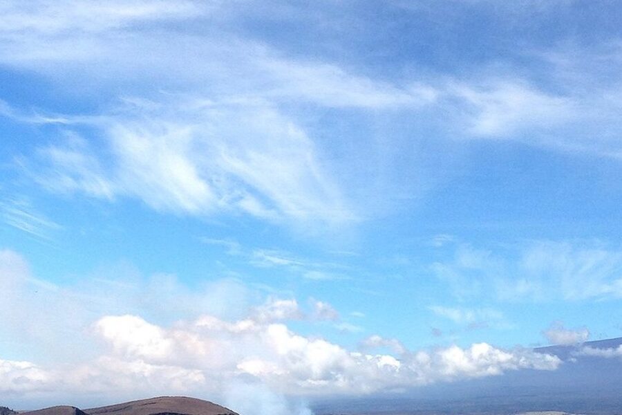
8. Climate science: volcanoes as natural experiments
Large eruptions inject sulfur-rich aerosols into the stratosphere that reflect sunlight and can cool the planet for a few years, providing natural tests for climate models. The 1991 Mount Pinatubo eruption produced a measurable drop in global temperatures of a few tenths of a degree in the years that followed, a fact often cited in peer-reviewed literature and IPCC assessments.
Volcanology supplies eruption timing, aerosol load, and plume-altitude data that climate scientists use to validate atmospheric and climate models. Those improvements translate into better seasonal and decadal forecasts used by governments and planners.
Technology, industry & local economies
Volcano research has driven advances in remote sensing, drones, and real-time telemetry that now serve many industries. Volcanic landscapes also attract tourists and students, supporting local businesses and education programs. The technologies and materials developed for volcano work often get repurposed for infrastructure monitoring and commercial use.
9. Remote sensing and instruments that crossover to other uses
Techniques such as InSAR (satellite radar interferometry), thermal infrared imaging, and UAV (drone) surveys were refined for volcano monitoring and now help track urban subsidence, landslides, and infrastructure deformation. Agencies like NASA and ESA operate many of the satellites whose data are routinely tapped by observatories and municipal engineers.
Those data streams let cities detect millimeter-scale ground motion, farmers map heat stress in fields, and utilities spot pipeline shifts — all practical, everyday uses that grew from volcano-focused R&D.
10. Tourism, education and local economic benefits
Volcanic parks and geothermal attractions are major draws: sites like Hawaiʻi Volcanoes National Park and Rotorua bring visitors, create jobs, and support local services. Many volcanic parks receive well over a million visitors in busy years, providing sustained revenue for nearby communities.
Beyond tourism, volcano observatories, university field courses, and visitor centers act as living classrooms that train the next generation of geoscientists and engage the public through citizen science projects and exhibits.
Summary
- Volcano science delivers concrete public-safety tools: monitoring networks, hazard maps, and ash forecasts that make flights and communities safer (recall the 2010 Eyjafjallajökull disruptions).
- Heat-from-the-Earth powers homes and businesses (Iceland’s ~25% geothermal electricity is one example), while volcanic geology points the way to important mineral resources.
- Volcanic materials and soils show up in everyday products and agriculture — from durable pozzolanic cements to fertile Andisols that support high yields.
- Tools born in volcanology — InSAR, thermal imaging, drones — now help monitor infrastructure, manage landslides, and support precision agriculture.
- The everyday applications of volcanology are practical and wide-ranging; supporting local observatories, considering geothermal where suitable, and consulting reputable sources such as the USGS or the IEA are good first steps.