On October 4, 1957, Sputnik 1 became the first artificial satellite in orbit — a moment that set off decades of satellite development and eventually made many astronomy-derived technologies part of daily life. Most people picture astronomy as telescopes pointed at distant galaxies, but the instruments and techniques built to study the sky have practical outcomes: satellites that guide commutes, sensors that improve medical scans, and image-processing methods that sharpen the photos on our phones.
A surprising number of common tools trace their roots to sky science. From the timing signals that keep financial markets synchronized to the detectors invented in the late 1960s for telescopes, astronomy has seeded technologies we now take for granted. This article outlines 8 concrete everyday applications of astronomy, grouped into four practical categories.
Navigation & Communication Technologies
Observational astronomy and early space programs launched methods for tracking objects and relaying signals across vast distances. That heritage became the backbone of modern navigation and global communications. The downstream impact is visible every day: turn-by-turn directions on a phone, parcel tracking for deliveries, live news feeds, and remote connectivity where terrestrial networks don’t reach. Below are two key examples.
1. GPS and Satellite Navigation
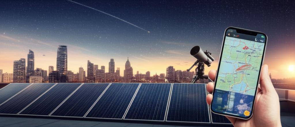
Satellites developed from space programs enable precise positioning used for driving, logistics, and synchronized timing. The U.S. Navstar GPS program launched its first satellite in 1978 and became broadly usable for civilians by the mid-1990s. Consumer GPS commonly pinpoints locations to a few meters, while augmentation systems such as RTK (real-time kinematic) can push accuracy to the sub‑meter or even centimeter level for precision farming and surveying.
Practical uses include smartphone mapping apps like Google Maps and Apple Maps, ride-hailing services that match drivers to riders, and tractors guided by RTK GPS for exact seed placement. Complementary constellations such as the EU’s Galileo and Russia’s GLONASS increase availability and resilience for these services.
2. Satellite Communications and Internet
Advances in satellite tracking, antennas, and signal processing—many developed for astronomy and space science—underpin satellite TV, remote broadband, and emergency communications. Longstanding geostationary (GEO) providers such as Intelsat and Inmarsat deliver broadcast and maritime links, while low-Earth-orbit (LEO) constellations have lowered latency and expanded options for broadband.
SpaceX began launching the initial Starlink satellites in 2019, creating a large LEO internet constellation that can serve rural homes, ships, and aircraft. Satellites restore connectivity when cell towers fail after storms, and uplinks carry live feeds for television and news events around the world. For rural broadband, maritime comms, and disaster response, space-based links are often the most reliable option.
Imaging, Sensors & Consumer Electronics
Detector technology and imaging techniques created for telescopes moved into cameras, phones, and remote-sensing platforms. The path is direct: sensors developed to capture faint starlight were adapted and miniaturized, and the image-processing tricks used to clean astronomical images now improve photos and maps that people use every day.
3. CCD and CMOS Sensors in Cameras and Phones
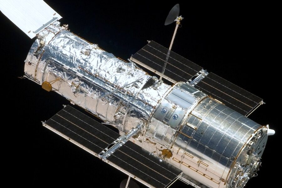
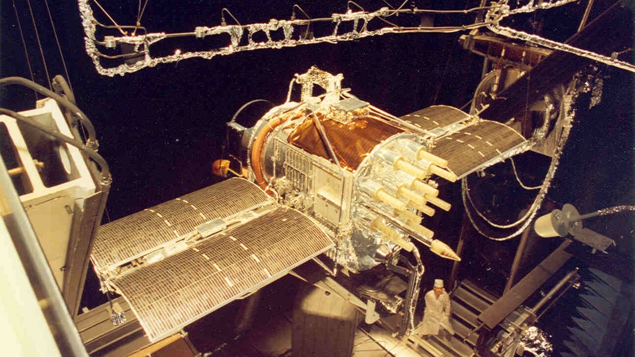
Imaging detectors developed for astronomy are the backbone of digital photography. The charge-coupled device (CCD) was invented in 1969 by Willard Boyle and George E. Smith. Work on solid-state detectors earned Nobel recognition in 2009 and set the stage for mass deployment. Later improvements in complementary metal–oxide–semiconductor (CMOS) sensors made cameras cheaper and lower power, enabling the high-quality sensors found in most smartphones.
Today, Sony and Samsung produce CMOS sensors used across iPhone and Android devices. Those sensors offer better low-light performance and faster readout thanks to techniques first proven in astronomical cameras on telescopes such as Hubble and large ground-based observatories.
4. Weather and Earth-Observation Imaging
Satellite imagery—driven by astronomy-grade imaging and processing—powers weather forecasts, mapping, and agricultural monitoring. Operational weather satellites like NOAA’s GOES‑16, which became operational in 2016, provide rapid-refresh imagery that feeds forecasts and severe‑weather alerts. The European Copernicus Sentinel missions, launched across the 2010s, supply free radar and multispectral data for land and ocean monitoring.
Commercial operators such as Planet Labs run fleets of small satellites—on the order of a few hundred craft—that produce daily or multiple-daily views of large areas. Farmers use NDVI maps from Sentinel or Planet imagery to optimize irrigation and fertilizer. Emergency managers pull satellite maps during hurricanes and floods to target evacuations and direct relief.
Healthcare, Safety & Environmental Monitoring
Optics, detectors, and image-processing algorithms created for astronomy have been repurposed for medical diagnostics and environmental monitoring. That reuse leads to earlier detection of disease and faster response to disasters, improving outcomes for patients and communities.
5. Medical Imaging and Optics
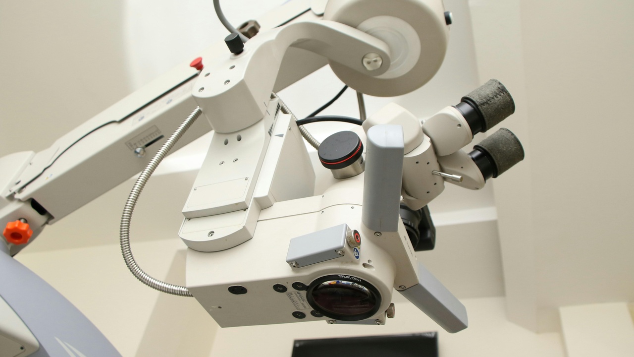
Astronomical techniques for correcting atmospheric blur—adaptive optics—have been adapted to retinal imaging, letting clinicians see cellular-level detail in the eye. Adaptive optics work dates back to development efforts in the 1980s and became mature enough to move into medical devices in the following decades.
Image-deconvolution and noise-reduction algorithms from astronomy are also used to enhance CT, MRI, and microscope images. The result is sharper scans and earlier detection of conditions such as macular degeneration. University medical centers now use adaptive-optics scanning light ophthalmoscopes and astronomy-derived processing tools in research and clinical practice.
6. Disaster Response, Air Quality and Climate Monitoring
Satellites and astronomy-class sensors provide near-real-time data used to track wildfires, floods, and air pollution. Agencies such as NOAA, NASA, and the ESA supply thermal, multispectral, and pollutant-monitoring products that emergency teams and public-health authorities use daily.
Thermal satellite imagery pinpoints hotspots during wildfires so crews can prioritize assets. Satellites detect nitrogen dioxide and aerosol plumes above cities on repeat passes—often daily—enabling air-quality alerts. Long-term satellite records also underpin climate monitoring and policy decisions by tracking glaciers, sea-surface temperature, and land-use change over decades.
Timekeeping, Education & Everyday Software
Astronomical observations have defined calendars and time standards for centuries, and the field continues to influence education and software tools used across industries. Planetariums, citizen-science platforms, and shared data formats born in astronomy all contribute to public engagement and to commercial products that trace back to sky science.
7. Timekeeping, Calendars and Navigation Aids
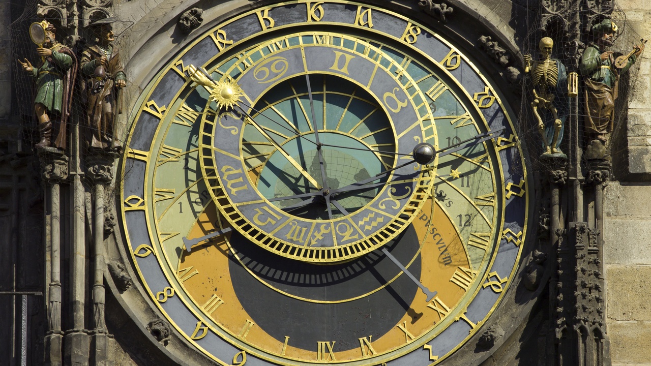
Astronomy historically set calendars and still underpins modern timekeeping and navigation. Since 1972, occasional leap seconds have been added to keep atomic time aligned with Earth’s rotation; the International Earth Rotation and Reference Systems Service (IERS) manages those adjustments. Precise time signals are essential for financial markets, telecom networks, and power-grid synchronization.
Accurate astronomical reference frames support GNSS positioning and cartography. The astronomical heritage of longitude and the Greenwich Meridian lives on in how we define reference systems that satellites and mapping services rely on every day.
8. Education, Citizen Science and Economic Spin-offs
Astronomy fuels education, public engagement, and industry spin-offs. Citizen-science platforms such as Zooniverse, launched in 2007, have recruited millions of volunteers to classify galaxies, identify variable stars, and support research across disciplines. The same image formats and libraries used in astronomy, like FITS and many processing tools, are reused in earth observation and biomedical fields.
Planetariums and school programs inspire students who later enter STEM careers. Startups and companies have commercialized algorithms and hardware first developed for telescopes, creating products ranging from improved cameras to remote-sensing services. Those economic and educational benefits continue to flow from investments in astronomy.
Summary
Key takeaways about the practical reach of sky science:
- Image sensors born in astronomy (the CCD in 1969 and modern CMOS variants) now power smartphone and medical cameras.
- Satellite systems that began with programs like Navstar (first GPS satellite 1978) and GEO providers enable navigation, broadcasts, and internet access—even LEO constellations (Starlink launches began in 2019) are part of daily connectivity.
- Weather and Earth-observation satellites (GOES‑16 operational in 2016; ESA Sentinels in the 2010s) supply the imagery behind forecasts, disaster response, and precision agriculture.
- Astronomy techniques—adaptive optics, deconvolution, data formats, and citizen science platforms like Zooniverse (2007)—support medical imaging, research, education, and commercial startups.
- Try one small step: view daily satellite imagery from NOAA or ESA online, or join a Zooniverse project to help classify real astronomical or Earth data.